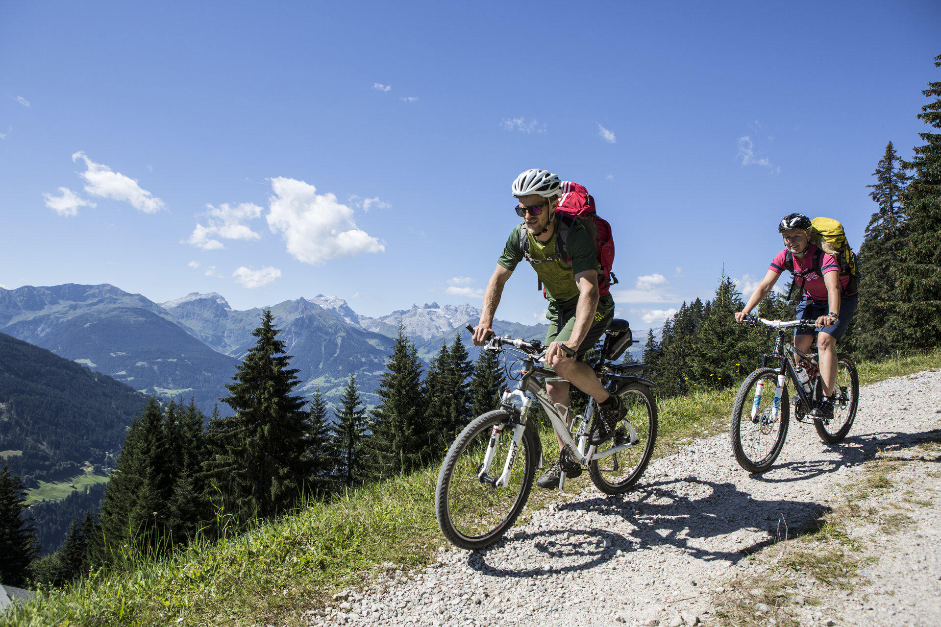
Tour description
Aktivpark Montafon - Schruns - Montjola - Gasthaus Fischerstöbli - Plattaweg - Bartholomäberg - Fritzensee - Almeinweg - Gaflätzweg - Hunting Lodge - Fritzensee - Neyers-Legi - Linda - Bartholomäberg - Buxwaldstraße - Plattaweg - Grünerwaldweg - Montjola - Schruns - Aktivpark Montafon
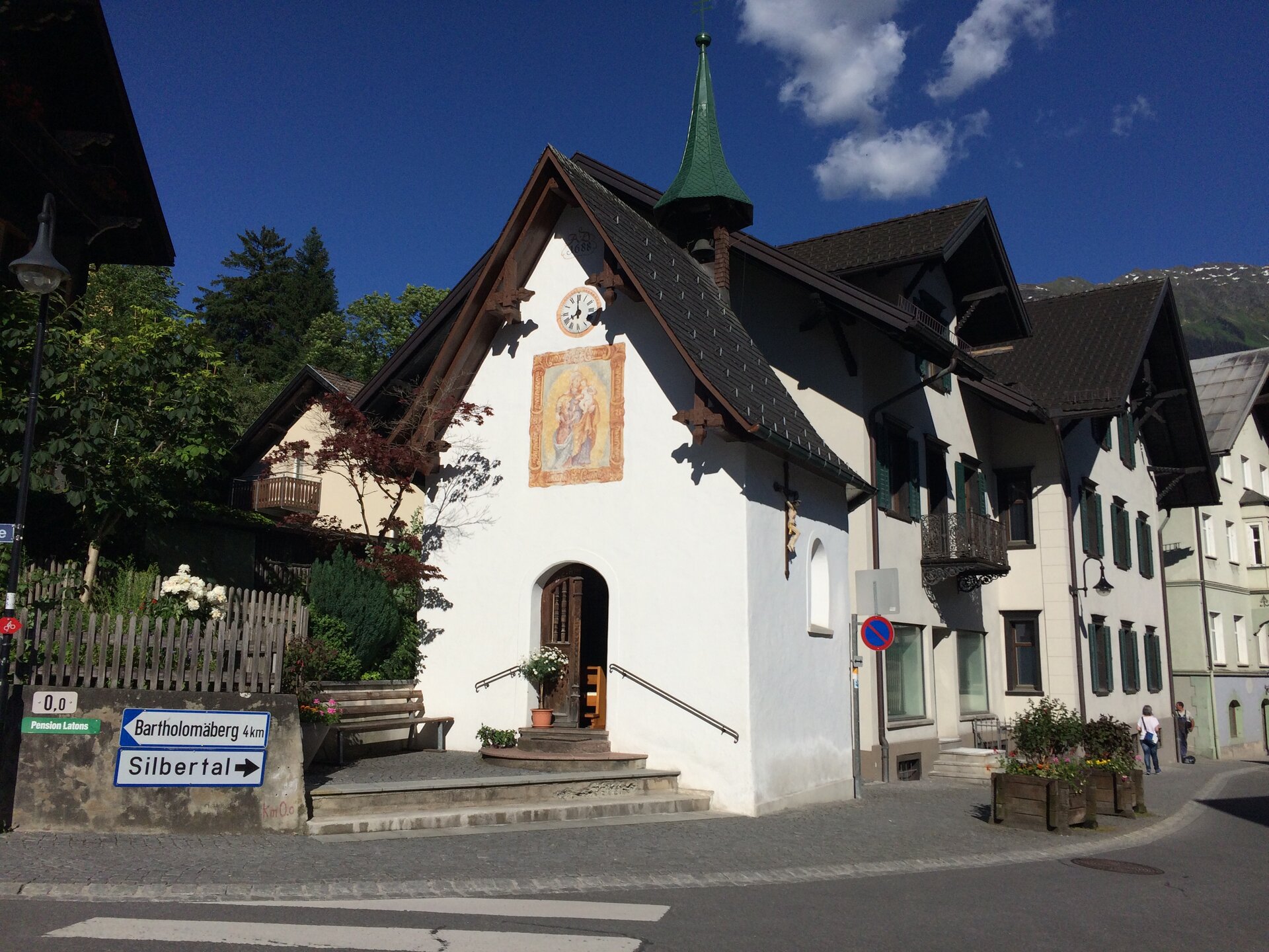
The region around Bartholomäberg, considered the cradle of the Montafon, impresses with its unique combination of cultural history and scenic diversity. In the Friagawald forest, traces of a 3,500-year-old settlement can be found, revealing the early settlement history of the area. Along the way, there are always wonderful views, including the impressive Baroque church of Bartholomäberg and the picturesque Fritzensee, which offers a spectacular view of the Rätikon.
The route features several challenging climbs as well as varied sections of gravel and paved paths. Special caution is required in the Neyers Legi area: the steep gravel section demands adjusted speed and, if necessary, pushing the bike.
Since the route is also heavily frequented by hikers, mutual consideration is essential. Furthermore, the route passes through a hunting area around Fritzensee, Falla, Küngsmaisäß, Alpe Latons, and Rellseck. To protect the wildlife, it is recommended to avoid activities like hiking or (e-)mountain biking in this area during quiet times (October 10 to 24 from 5:00 pm to 8:00 am, from October 25 until approximately mid-December from 4:00 pm to 8:00 am).
Thank you very much for your understanding and respectful behavior in nature!