Montafon hut round | Totalphütte to Douglass Hut

Tour description
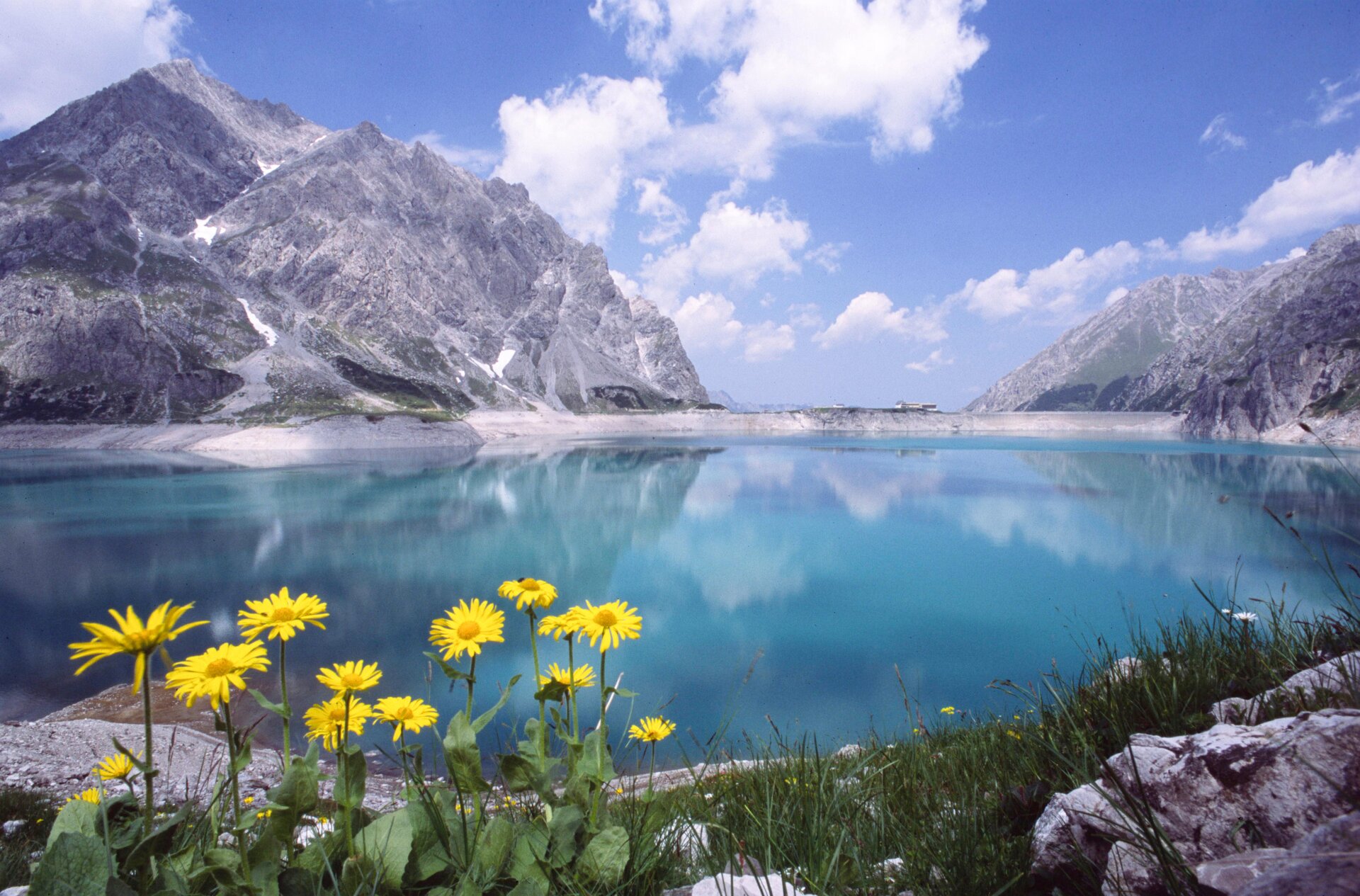
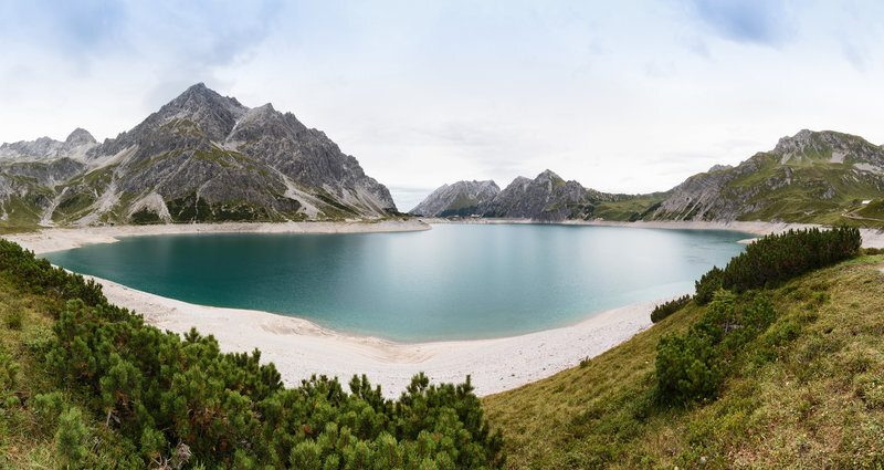
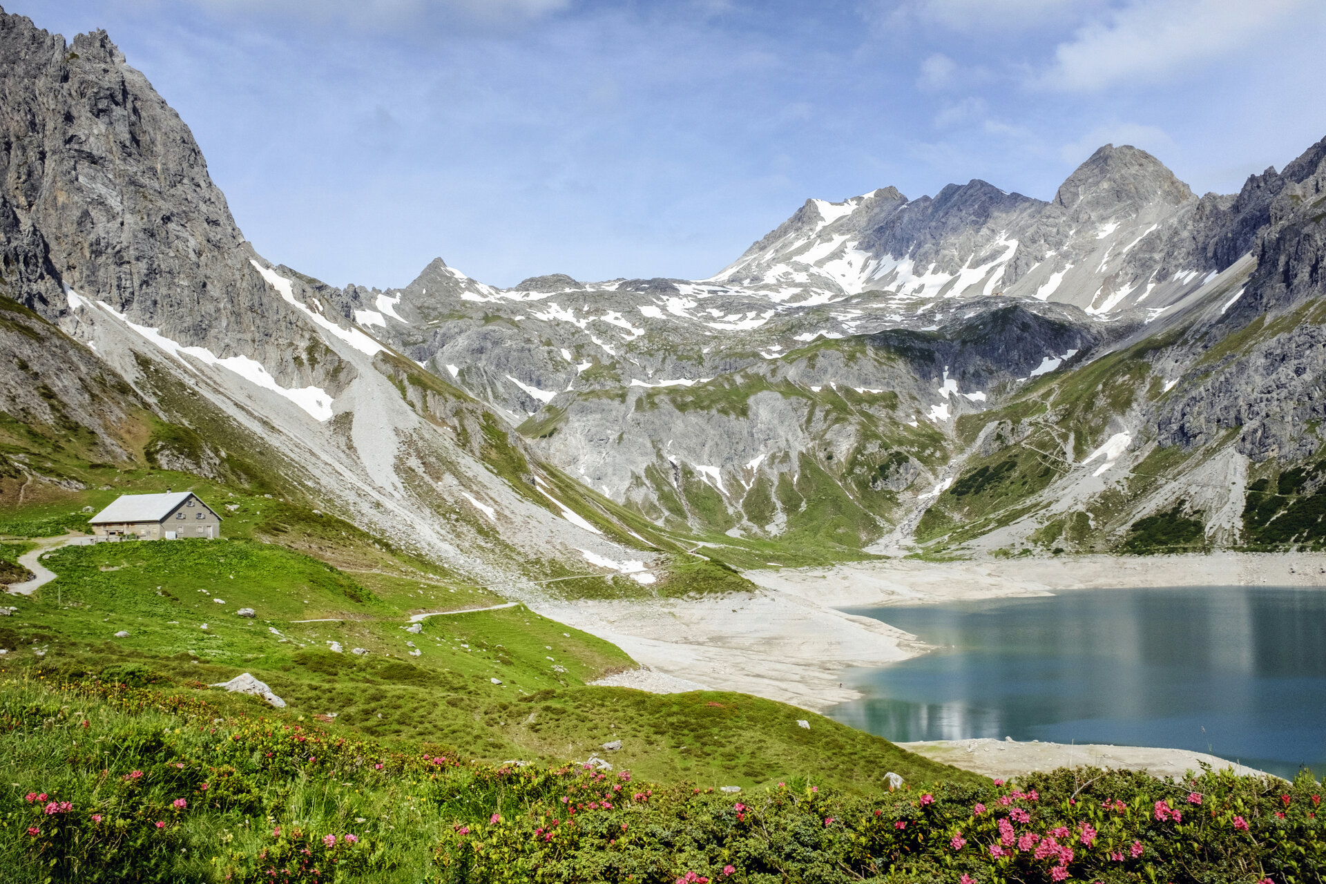
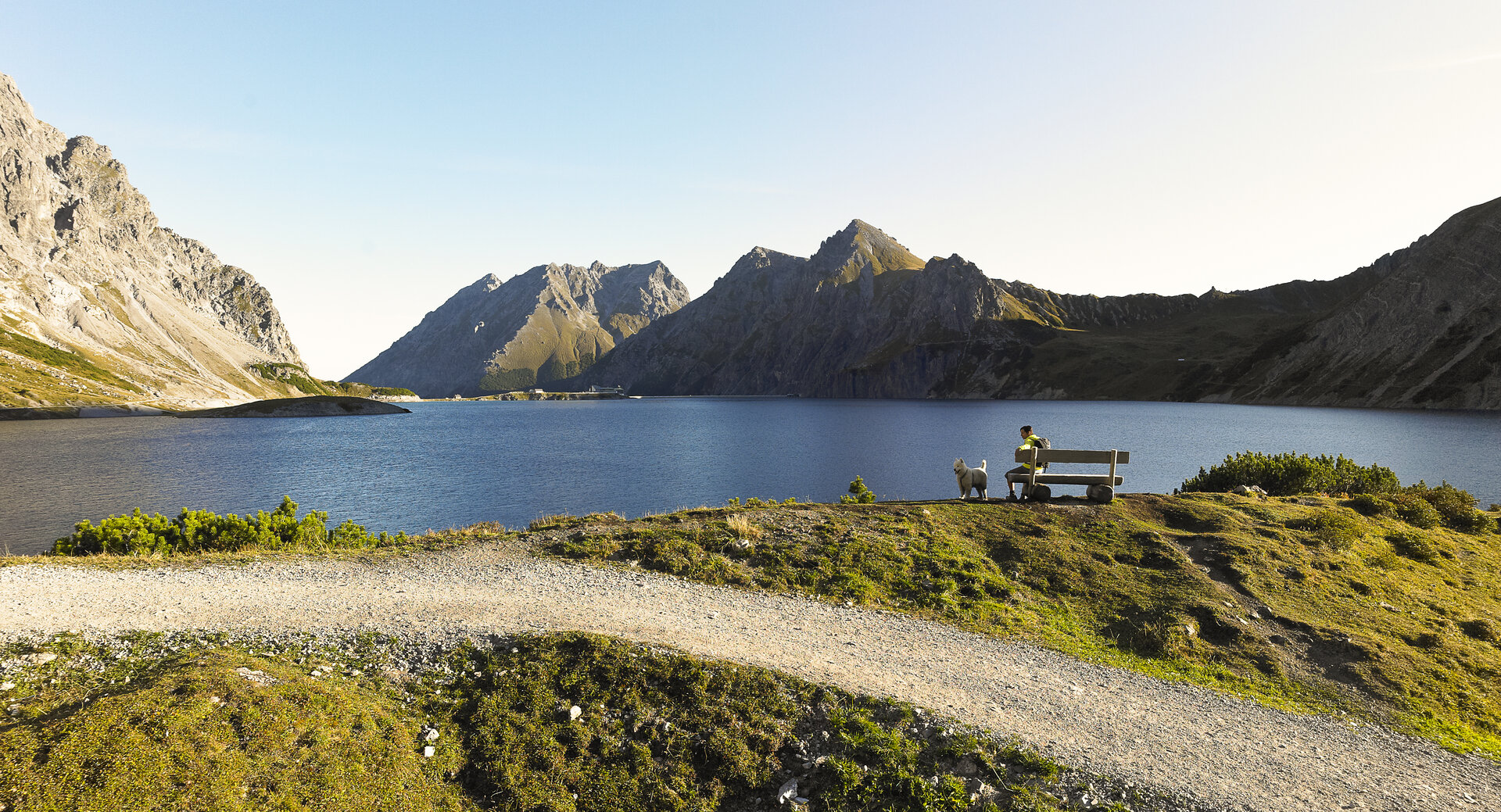
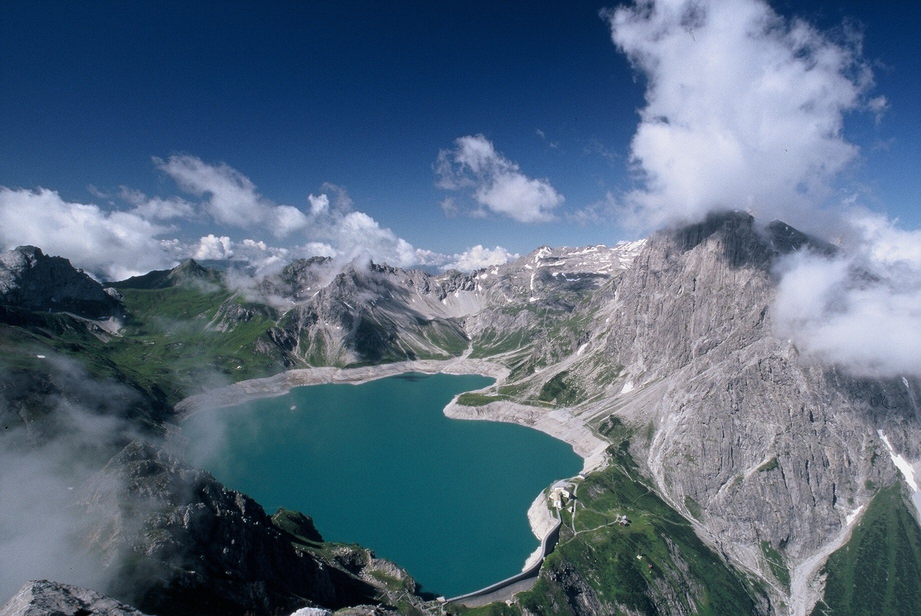
A short, scenic stretch along Lake Lünersee, offering constant views of the turquoise-blue mountain lake and the surrounding Rätikon mountains.
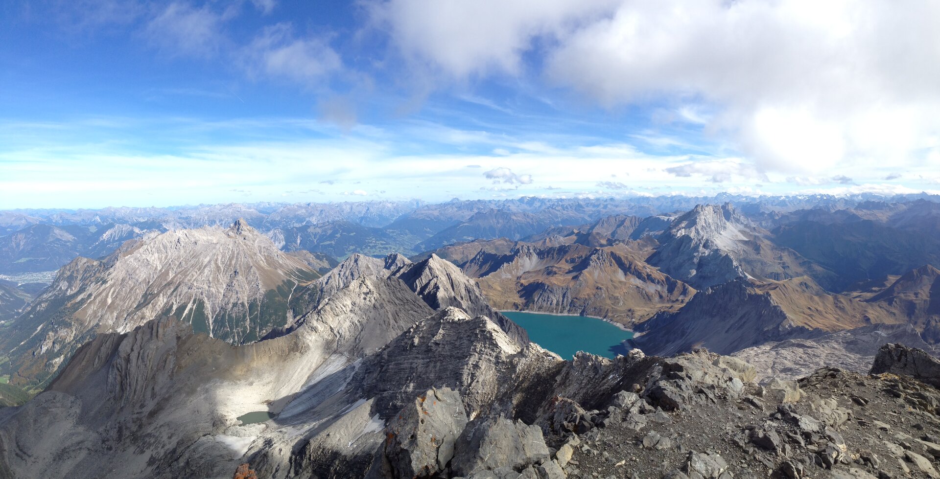
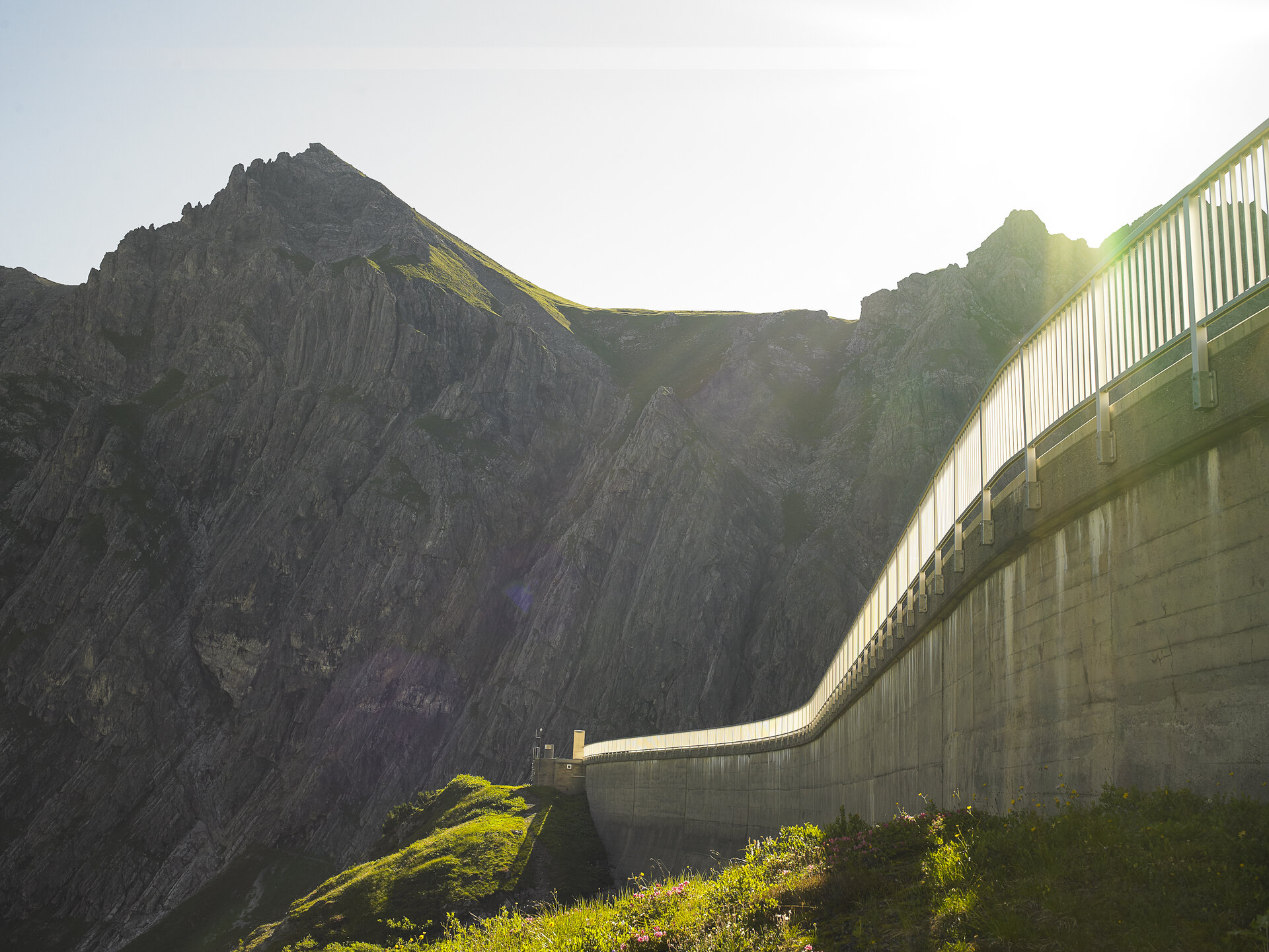
Lake Lünersee is located at an elevation of approximately 1,970 meters at the end of the Brandner Valley and is one of the largest high-mountain lakes in Vorarlberg. It is also one of the largest reservoirs used for electricity generation in Austria. When it went into operation in 1958, the Lünersee Power Plant was the most powerful pumped-storage plant in the world.
Covering an area of about 112 hectares and with a maximum capacity of 78.3 million cubic meters, Lake Lünersee makes a striking impression on the landscape. This stage gives you plenty of time to enjoy the special atmosphere around the lake and the surrounding peaks of the Rätikon.
What is the Montafon Alpine Mosaic?
The Montafon Alpine Mosaic brings the region’s scenic diversity to life. The four exploration areas—Verwall, Silvretta, Rätikon, and the valley—offer different perspectives on nature, the landscape, and culture.
You can find more information about the Montafon Alpine Mosaic HERE.
Starting Point - Directions - End Point
Starting Point
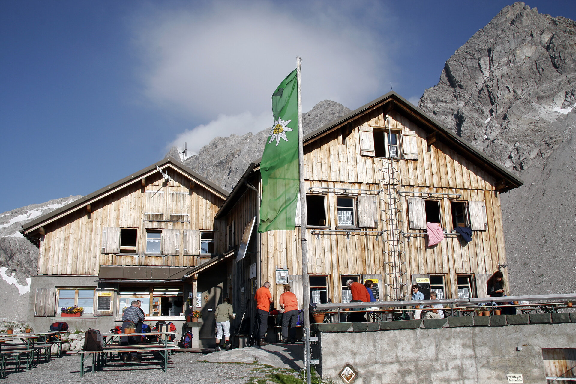
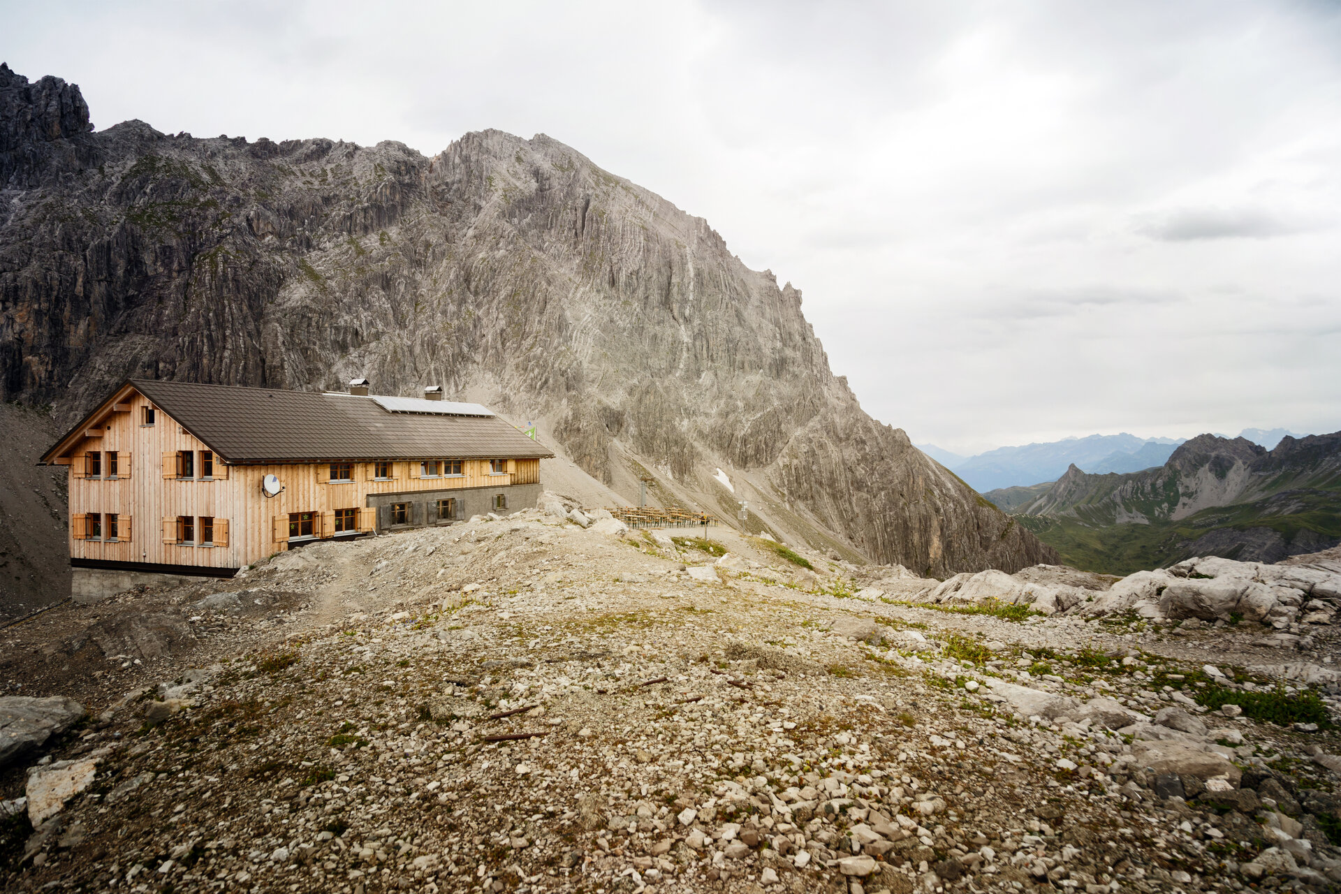
Totalphütte
Directions
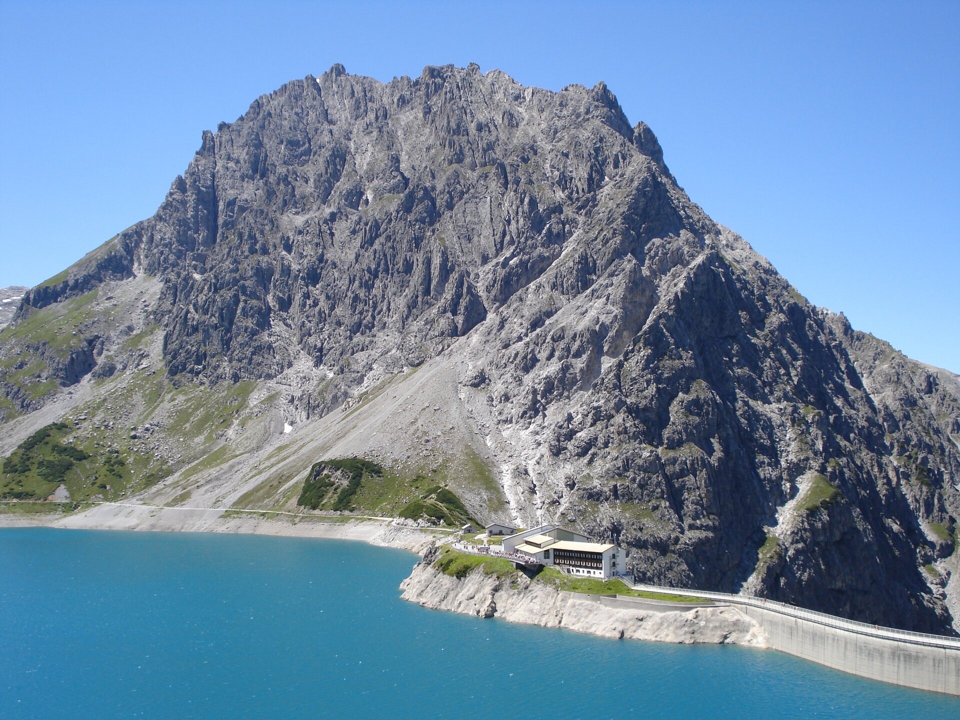
From the Totalphütte, a trail takes you about 2 kilometers downhill, with an elevation drop of approximately 300 meters, to Lünersee. Once you reach the lake, follow the lakeside path for about 1.2 kilometers to the Douglass Hütte at the upper station of the Lünerseebahn.
End point
Douglass Hütte
Getting to the starting point
Getting to the Starting Point
The starting point for the tour is the Totalphütte.
By public transportation:
The Montafon regional bus and the Montafonerbahn provide convenient and flexible travel throughout the valley. Trains and buses connect the towns regularly, every half hour or every hour depending on the route. You can find the right connection HERE. Bus stop for the start/end of this tour: Lünerseebahn. From there, take the Lünerseebahn to Lünersee. The rest of the way to the Totalphütte is on foot.
By car:
Take the A14 to the Brandnertal exit, then follow the L82 toward Brand. Drive through Brand to the end of the valley, where you’ll reach the Lünerseebahn valley station. Paid parking is available there. From the valley station, take the Lünerseebahn to Lünersee and then walk to the Totalphütte.
Important Information
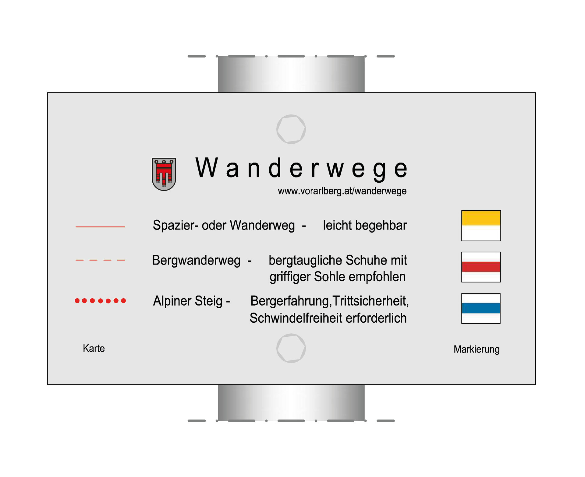
For the hike, we recommend sturdy shoes with good traction, weather-appropriate clothing, and plenty of drinking water. A snack and a map may also come in handy.
Tips
Due to high demand at the huts, we recommend that you reserve sleeping accommodations early and directly with the respective huts.
Sicherheitstipps für Wandern in Vorarlberg
EN NOTRUF:
EN 140 - Alpine Notfälle österreichweit
EN 144 - Alpine Notfälle Vorarlberg
EN 112 - Euro-Notruf (funktioniert mit jedem Handy/Netz)