Montafoner hut circuit


Tour description
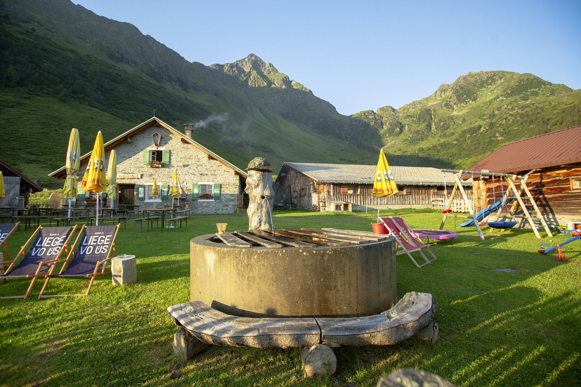
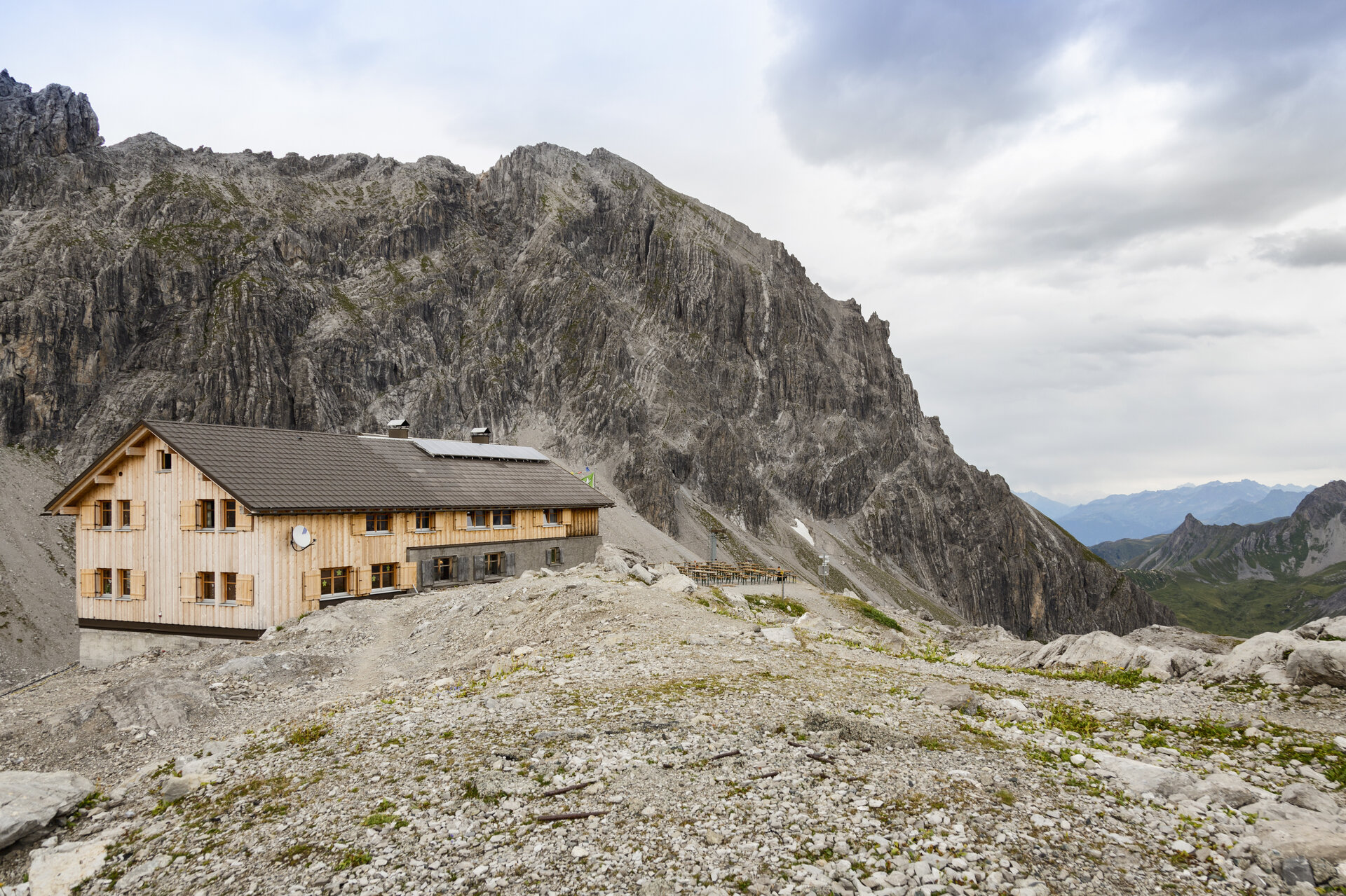
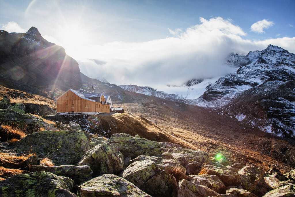
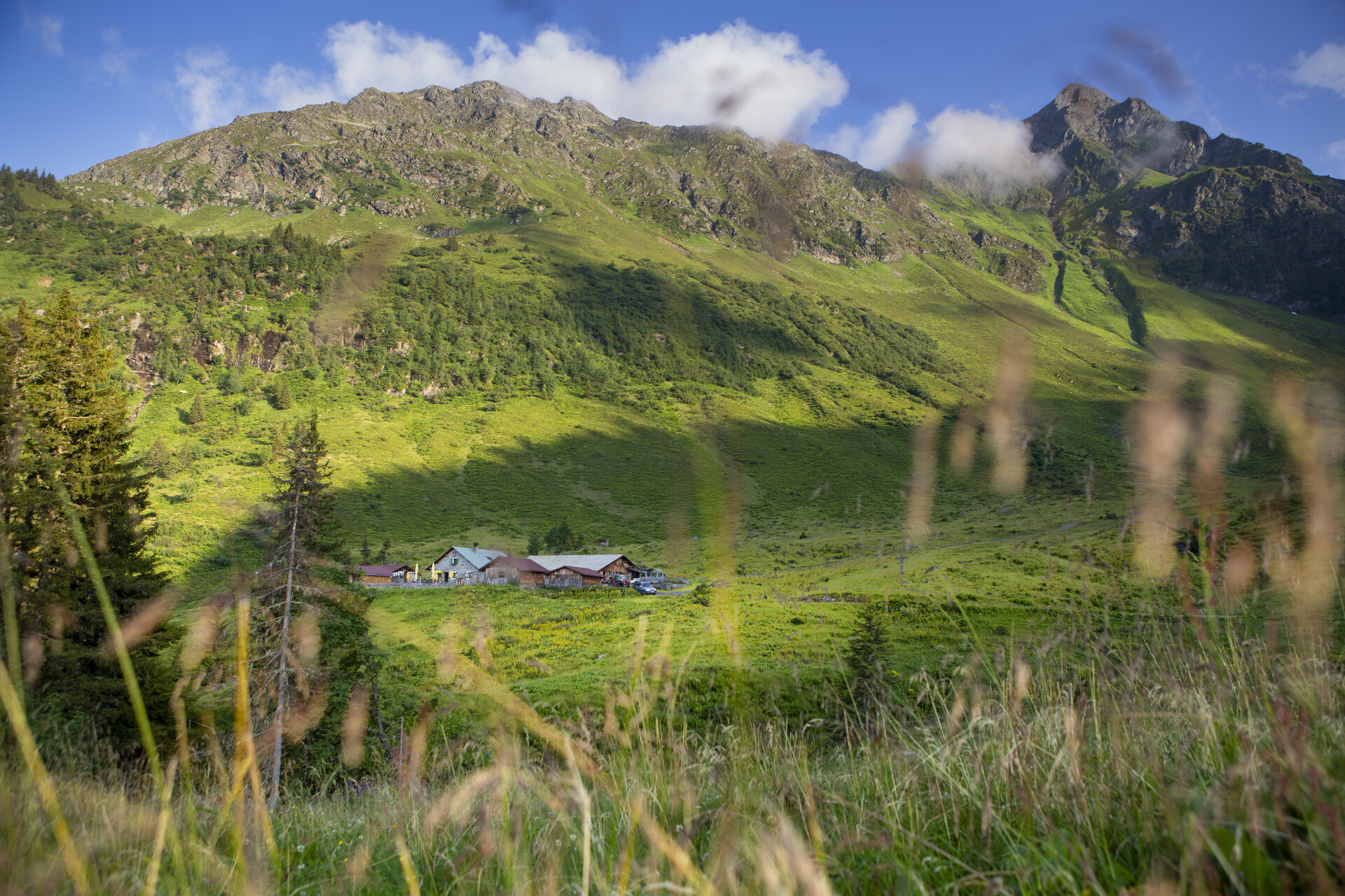
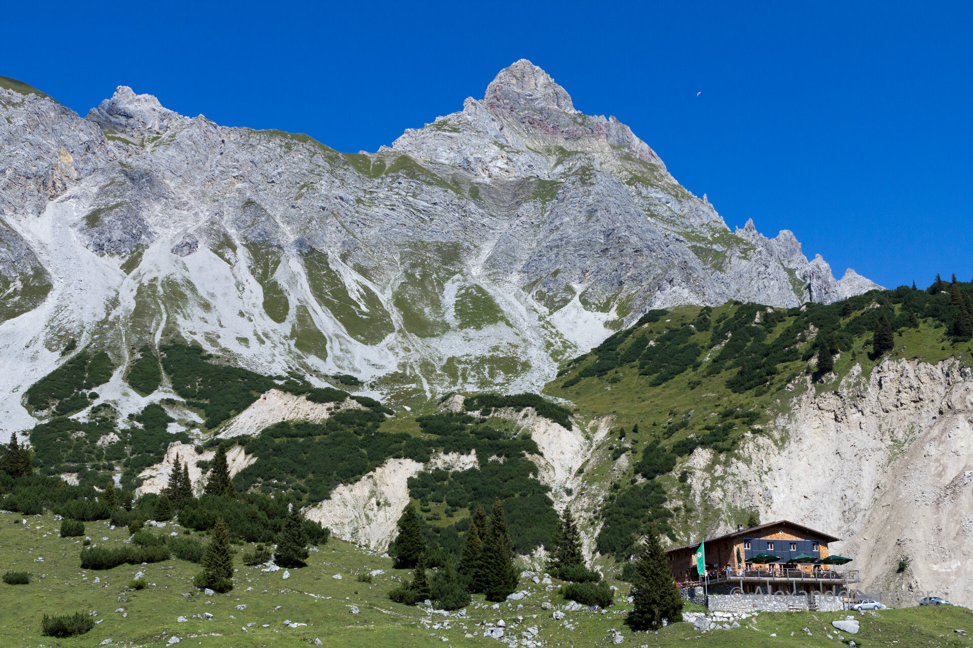
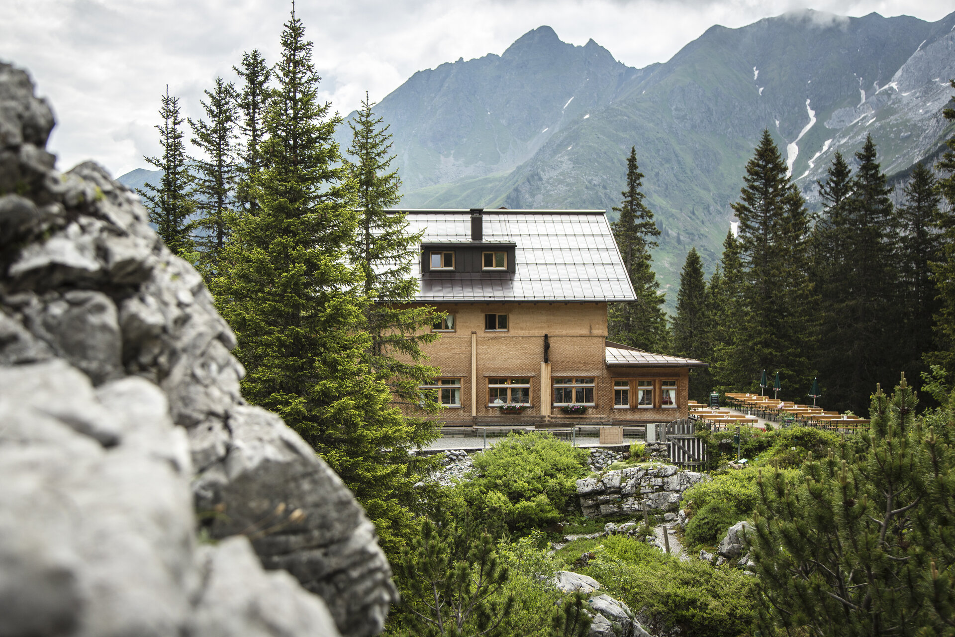
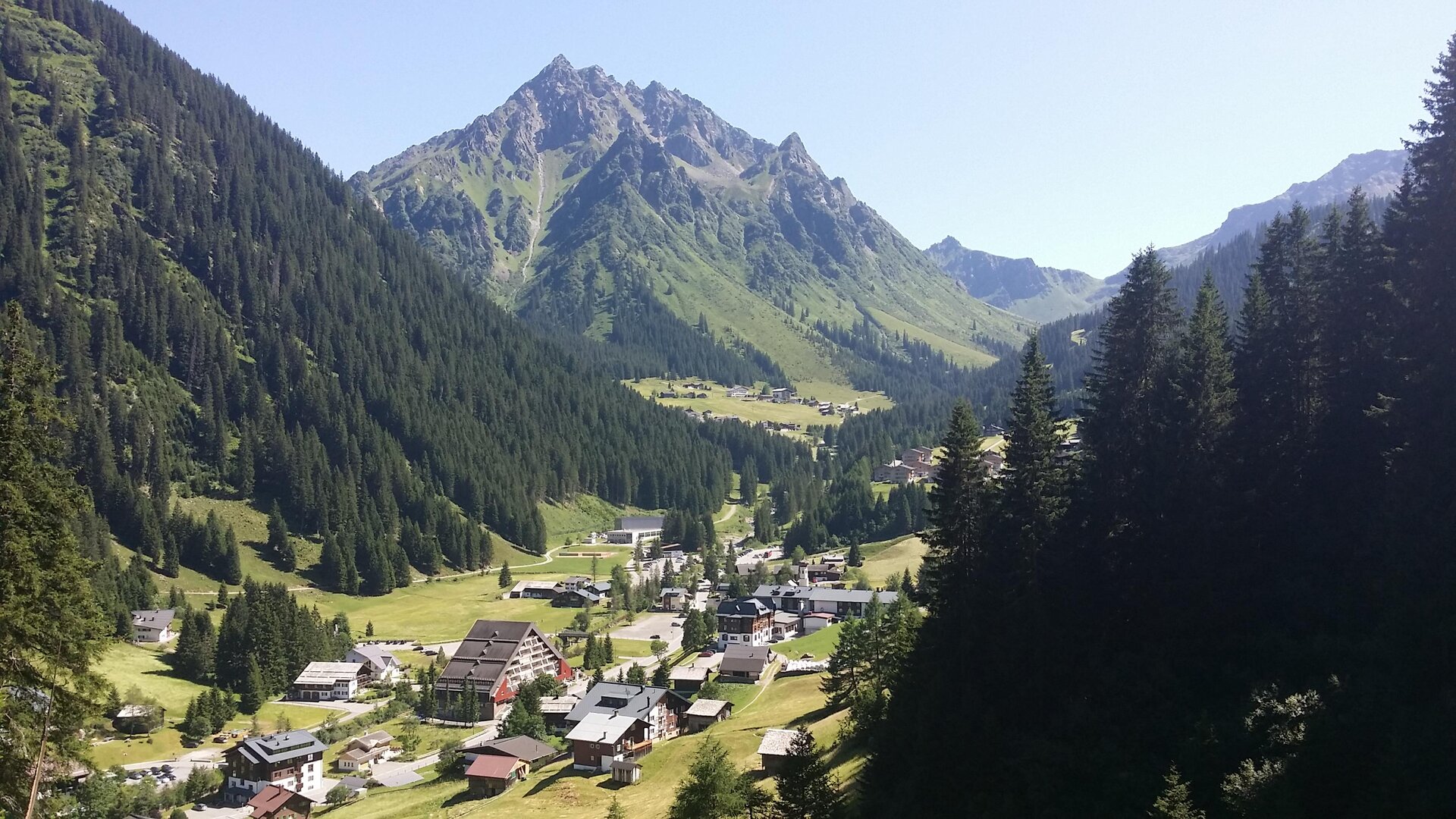
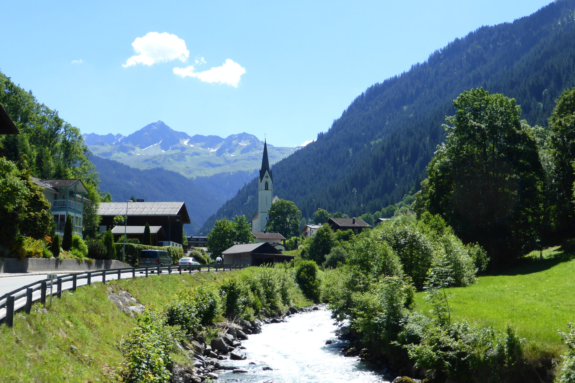
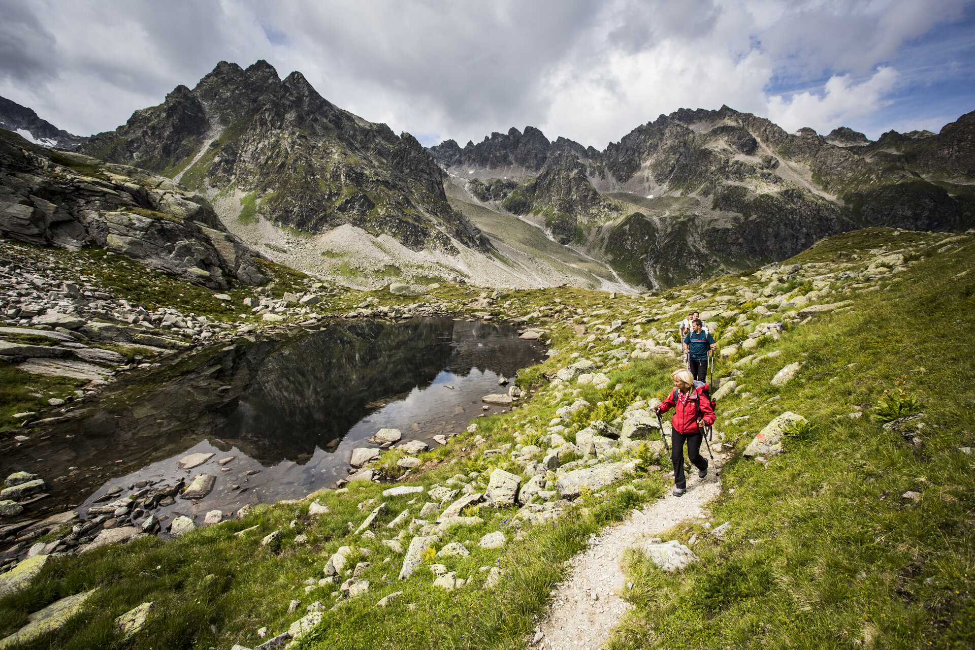
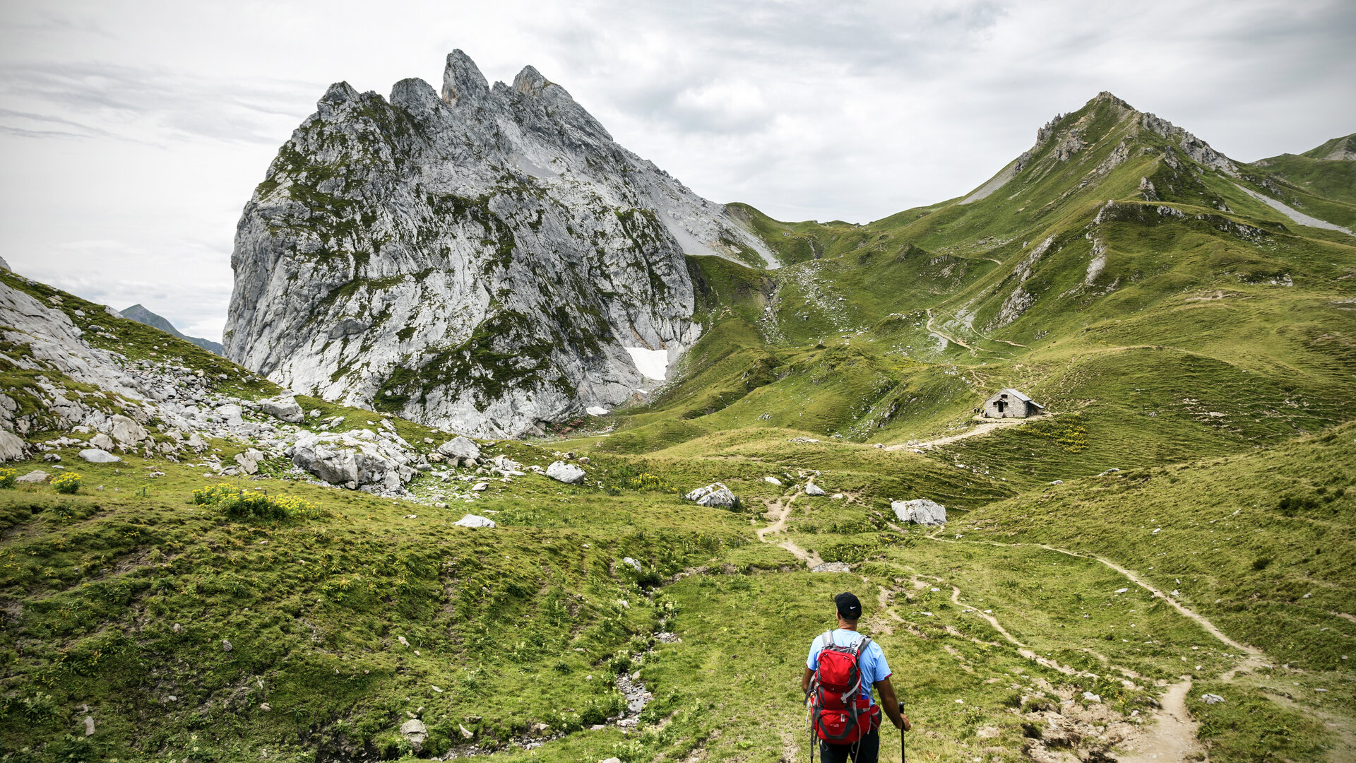
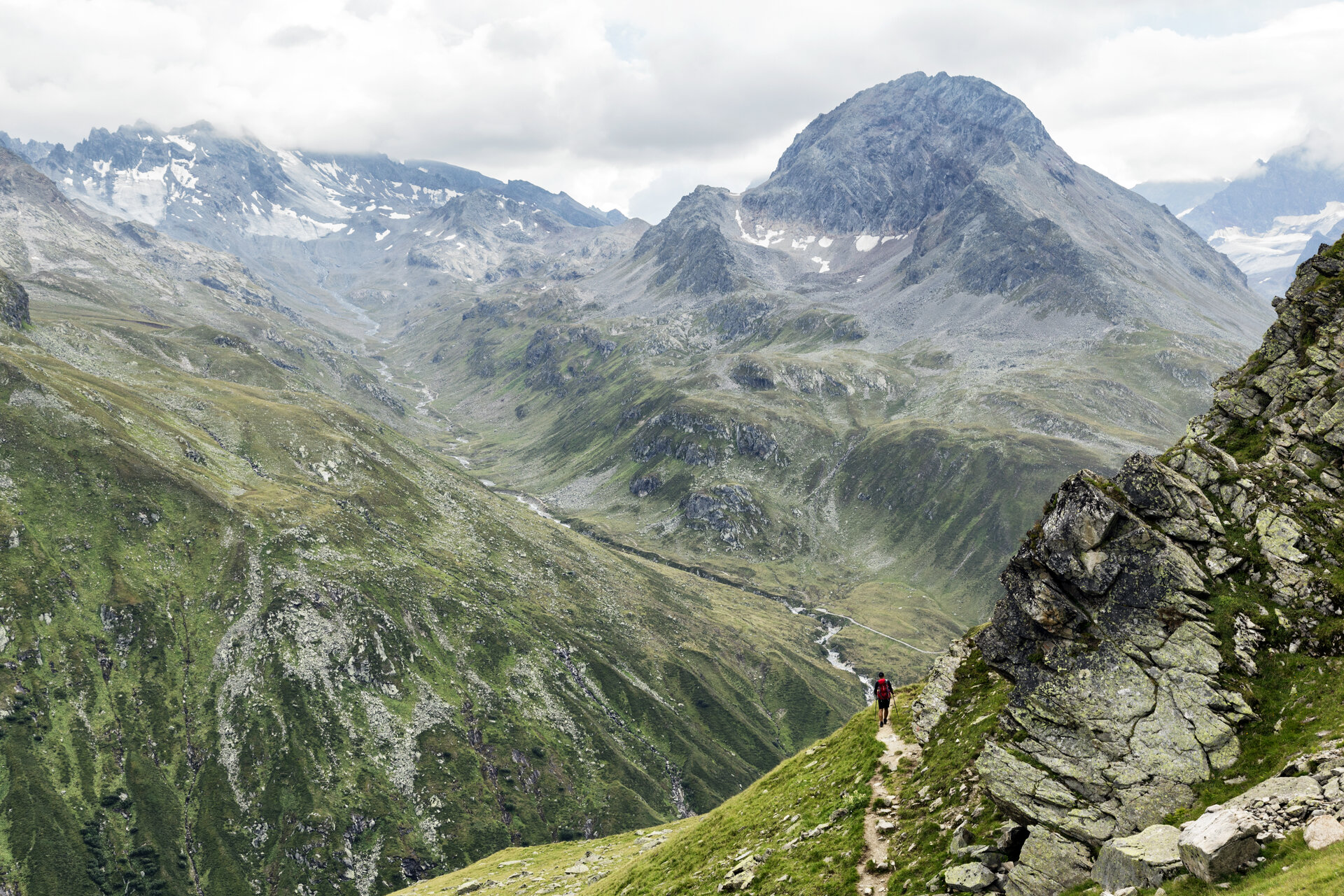
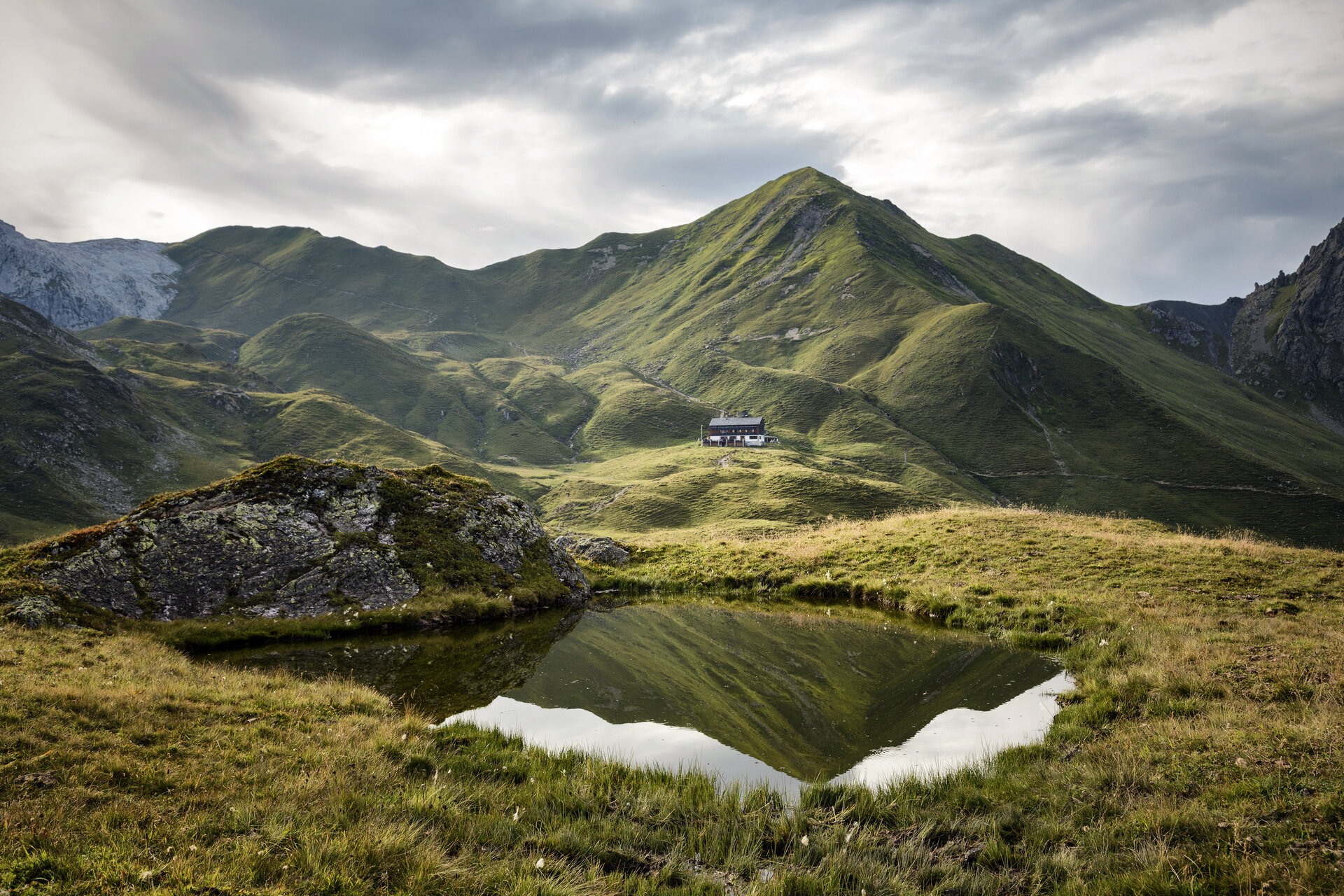
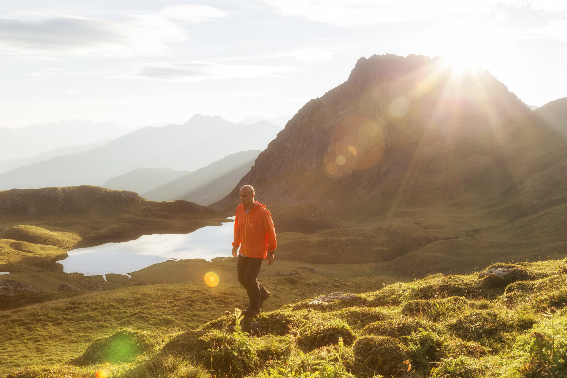
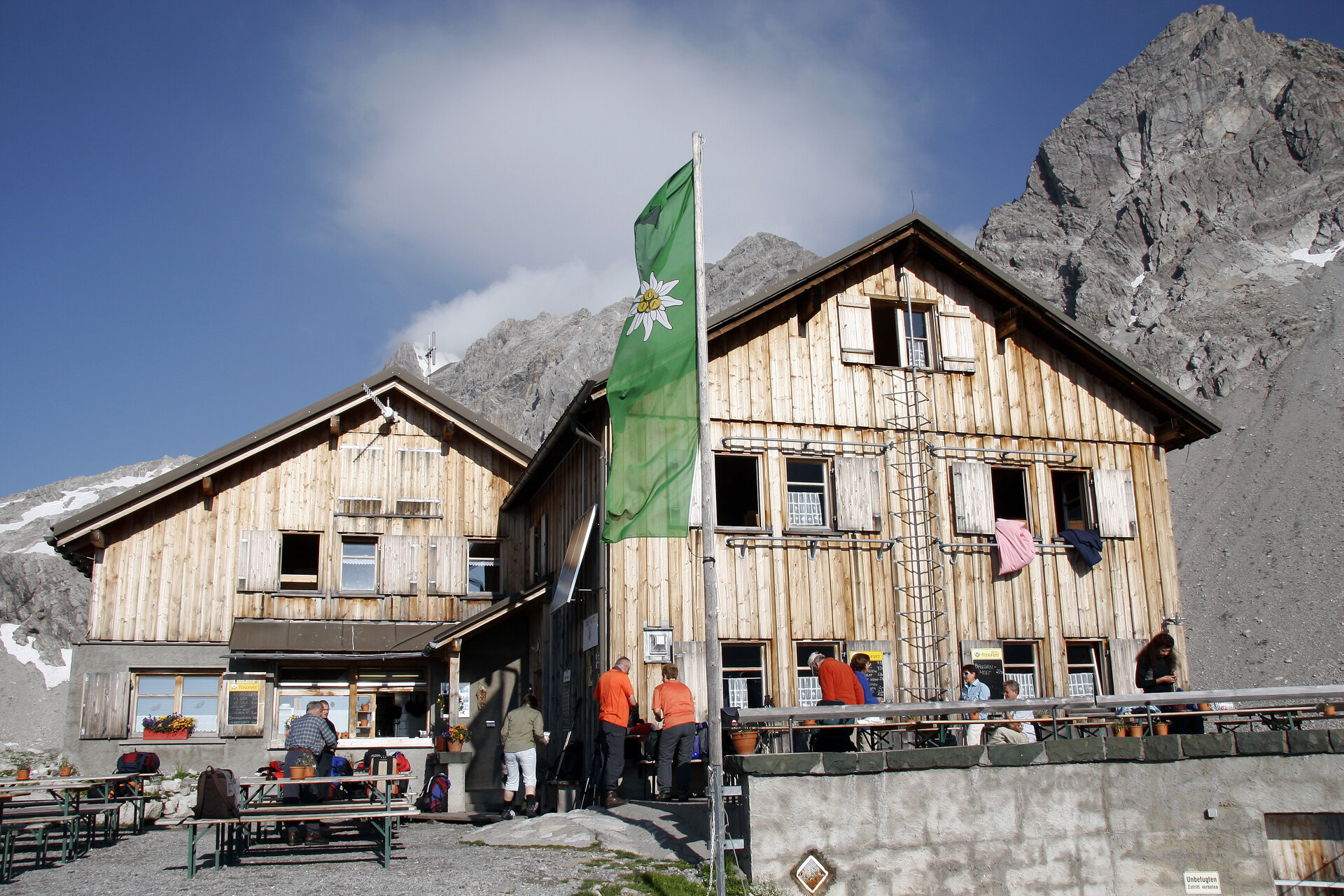
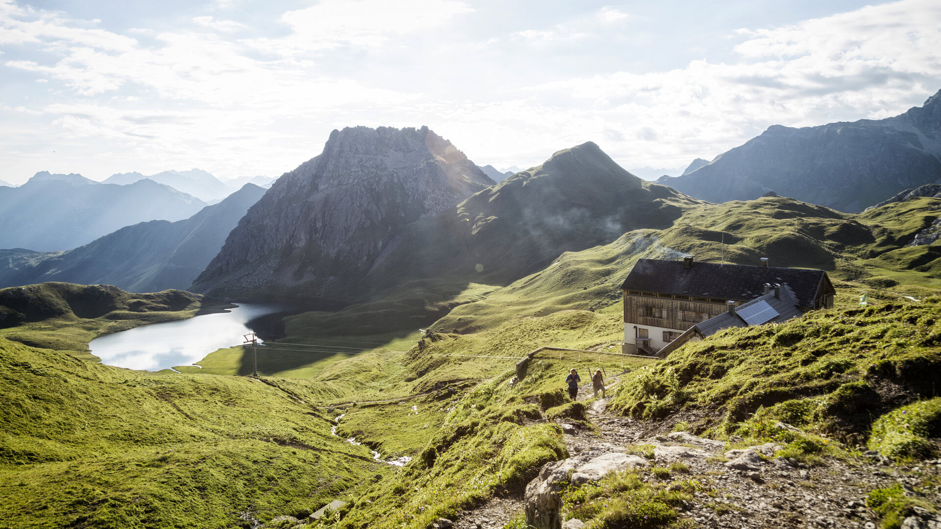
The Montafon Hut Circuit connects the diverse mountain landscapes of the Montafon in 13 stages—from the tranquil Verwall to the high-alpine Silvretta and on to the impressive Rätikon.
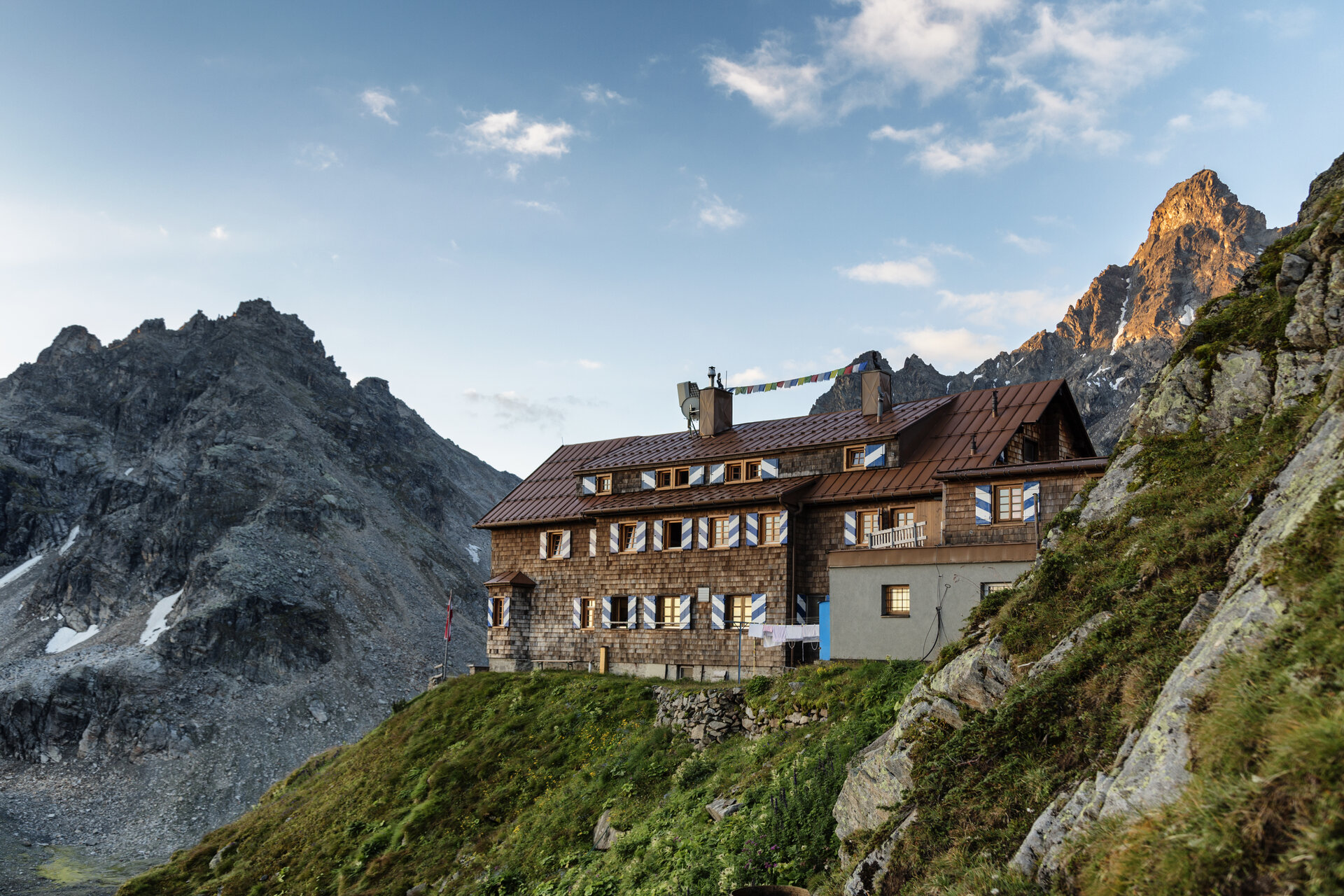
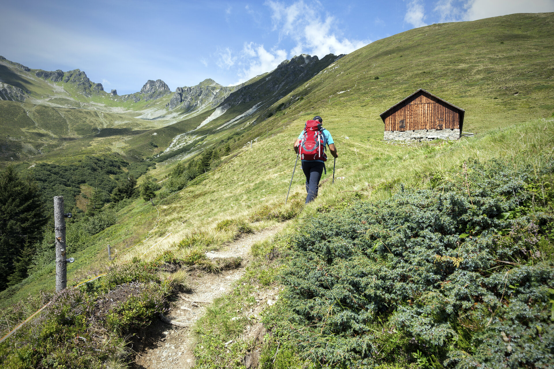
The Hut Circuit is a challenging multi-day hike for experienced mountain hikers who want to fully experience the Montafon and its diverse landscapes. The route leads from hut to hut through the Verwall, Silvretta, and Rätikon mountain ranges, whose distinct characteristics shape each stage of the hike.
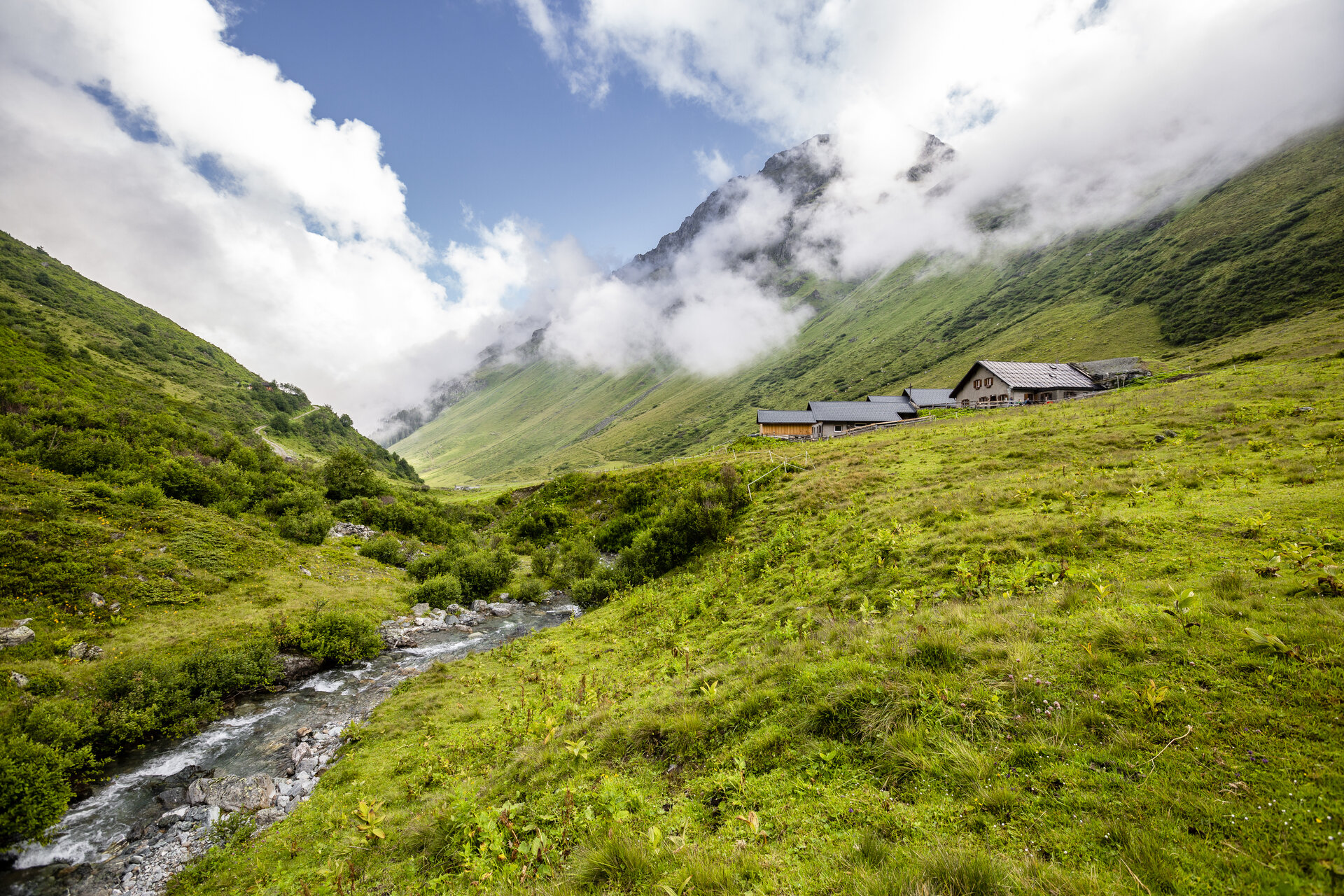
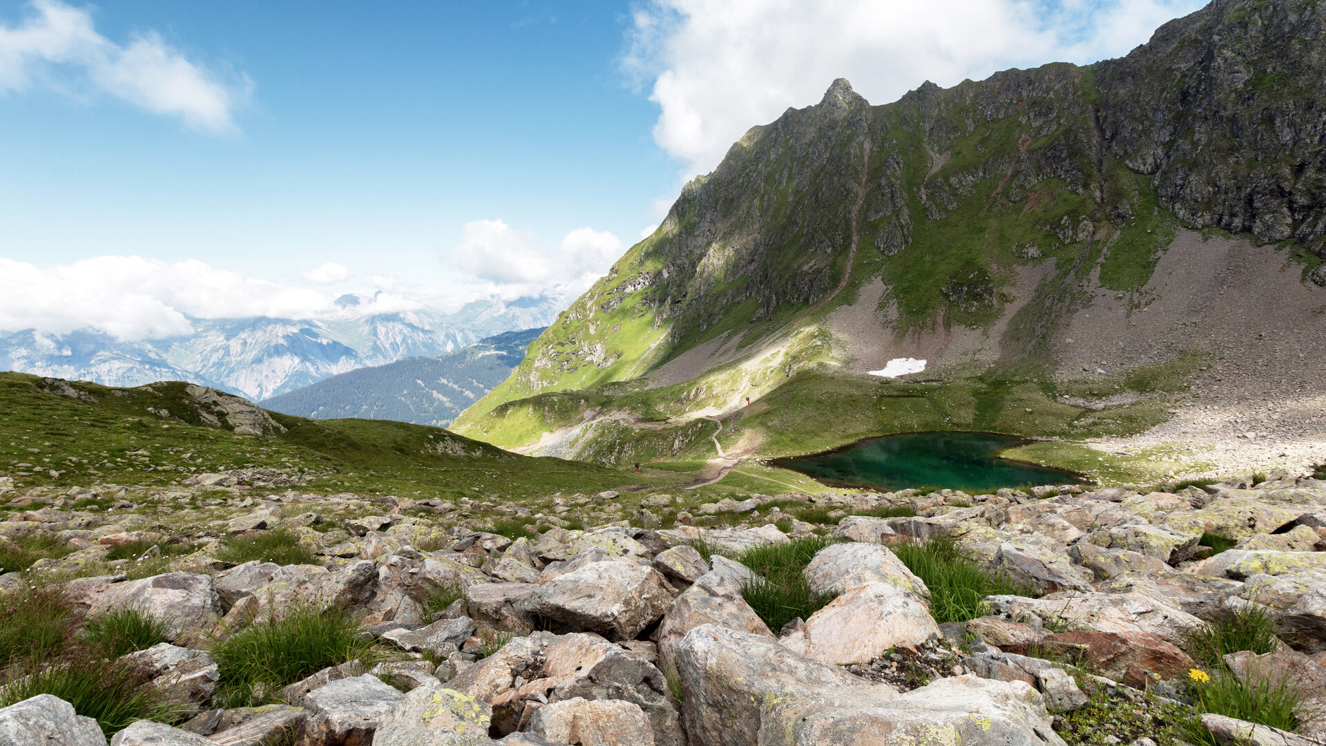
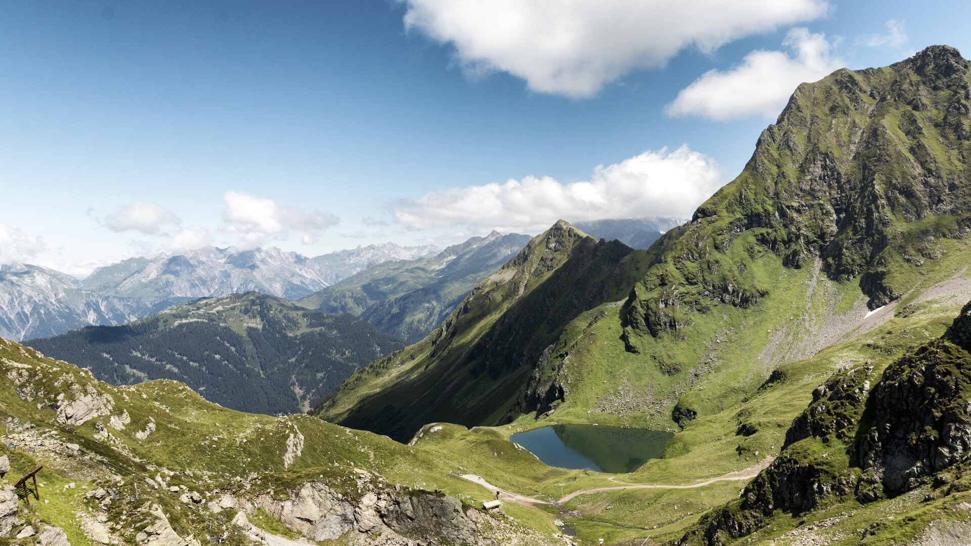
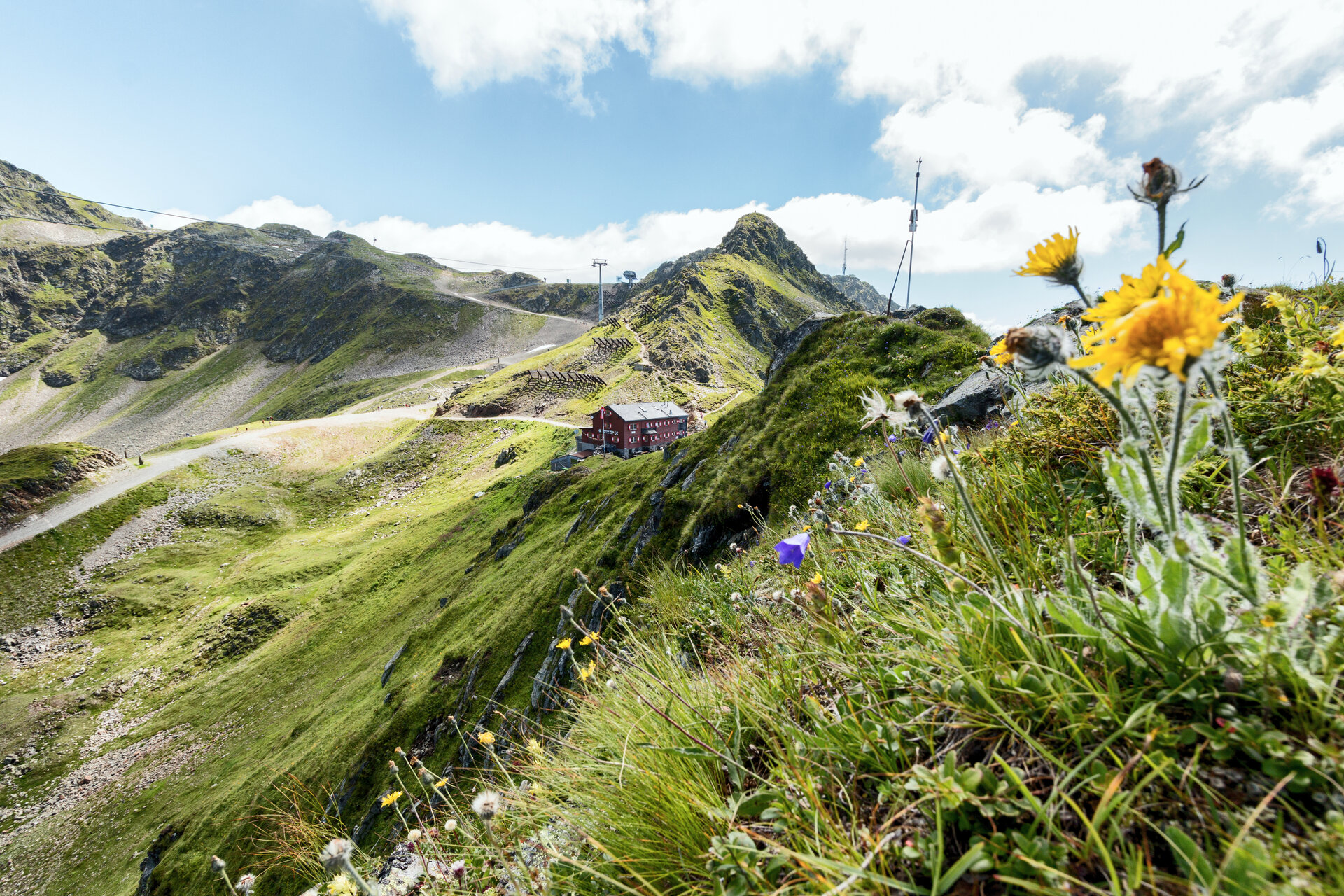
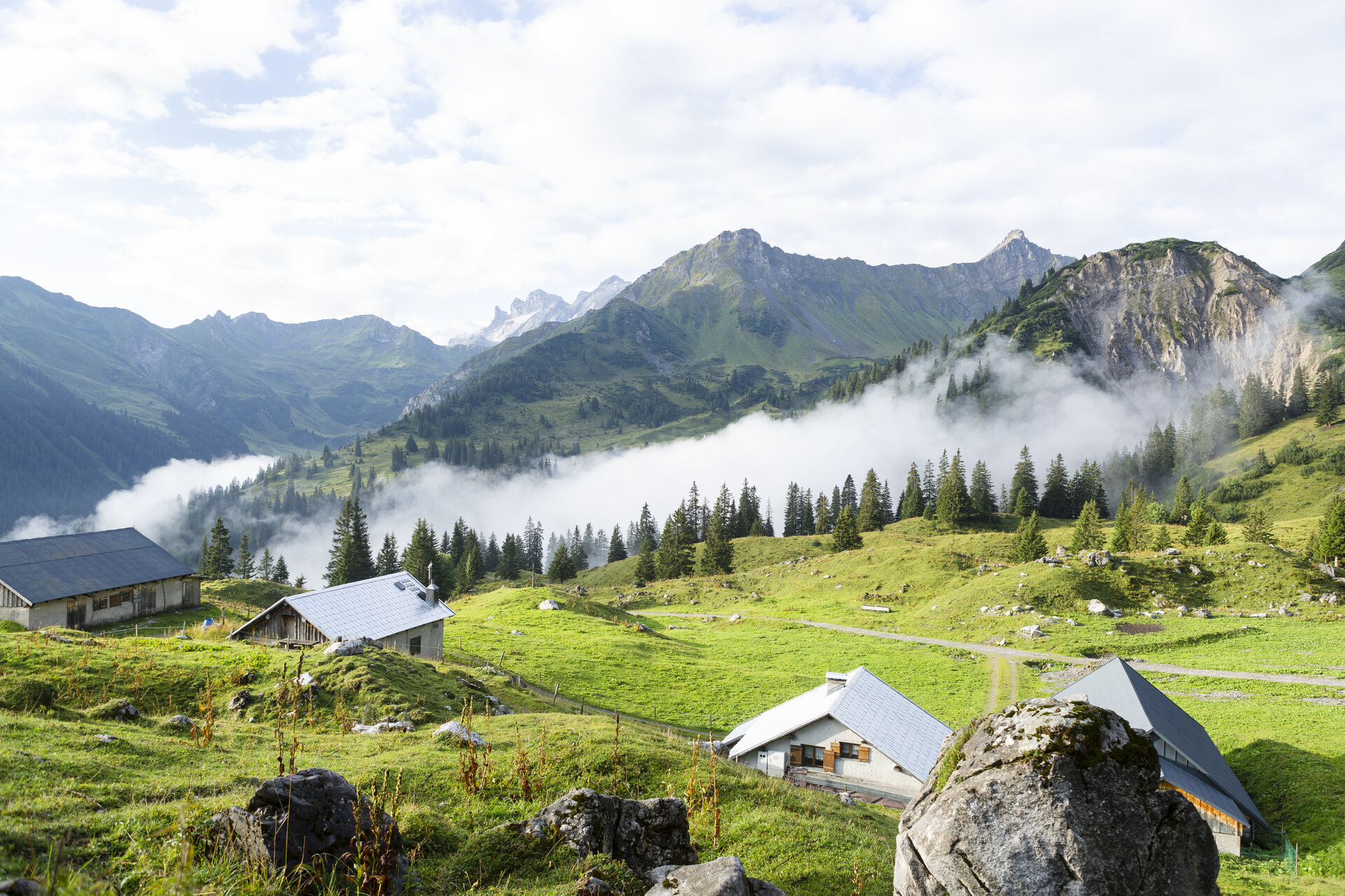
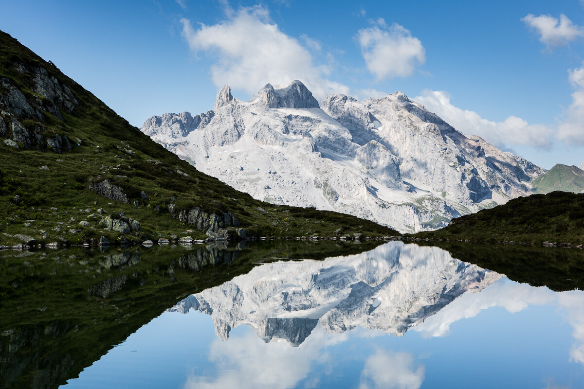
The landscape ranges from blooming alpine meadows and pristine valleys to the rugged crystalline rock and glaciers of the Silvretta, all the way to the striking limestone formations of the Rätikon. Culinary delights are also part of the hut circuit: Numerous huts along the route invite you to stop for a meal and spend the night.
Important: For this challenging multi-day hike, you should carefully plan your daily stages and book your overnight stays at the huts well in advance.
What is the Montafon Alpine Mosaic?
The Alpenmosaik Montafon brings the region’s scenic diversity to life. The four exploration areas—Verwall, Silvretta, Rätikon, and the valley—offer different perspectives on nature, the landscape, and culture.
You can find more information about the Montafon Alpine Mosaic HERE.
Starting Point - Directions - End Point
Starting point
Any point along the 13 stages
Route description
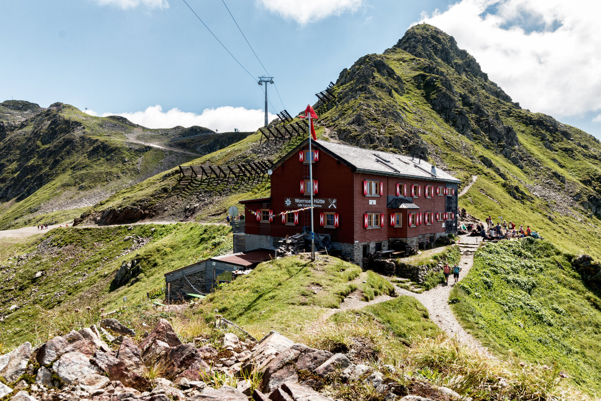
Stage 1: Silbertal to Wormser Hütte
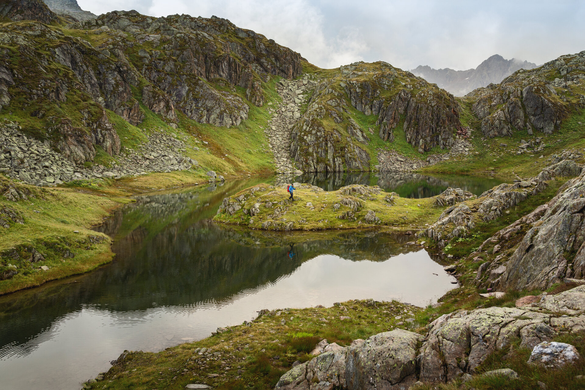
From the center of Silbertal, the trail leads you through the Shady Forest to the Innerkapellalpe. From there, the trail continues uphill to the Surblies viewpoint at 1,985 meters. Passing several mountain lakes, you’ll eventually reach the Wormser Hütte.
Hiking time: approx. 4:15 hrs / Distance: approx. 8.6 km / Ascent: 1,429 hm / Descent: 8 hm
Stage 2: Wormser Hut to Neue Heilbronner Hut
From the Wormser Hut, the trail first leads uphill to the Kreuzjoch and then downhill to the Furkla. Afterward, it climbs gently to the Wormser Törl and continues on to the Roßbergjoch. Through further ascents and descents, the trail takes you through the alpine highlands below the Valschabieler Maderer. For the final section, we recommend the route via the Gaschurner Winterjöchle, passing Kessisee and Valschavielsee. The route via the Valschavieljöchle is slightly shorter .
Walking time: approx. 8:30 hrs / Distance: approx. 22.2 km / Ascent: 1,346 hm / Descent: 1,341 hm
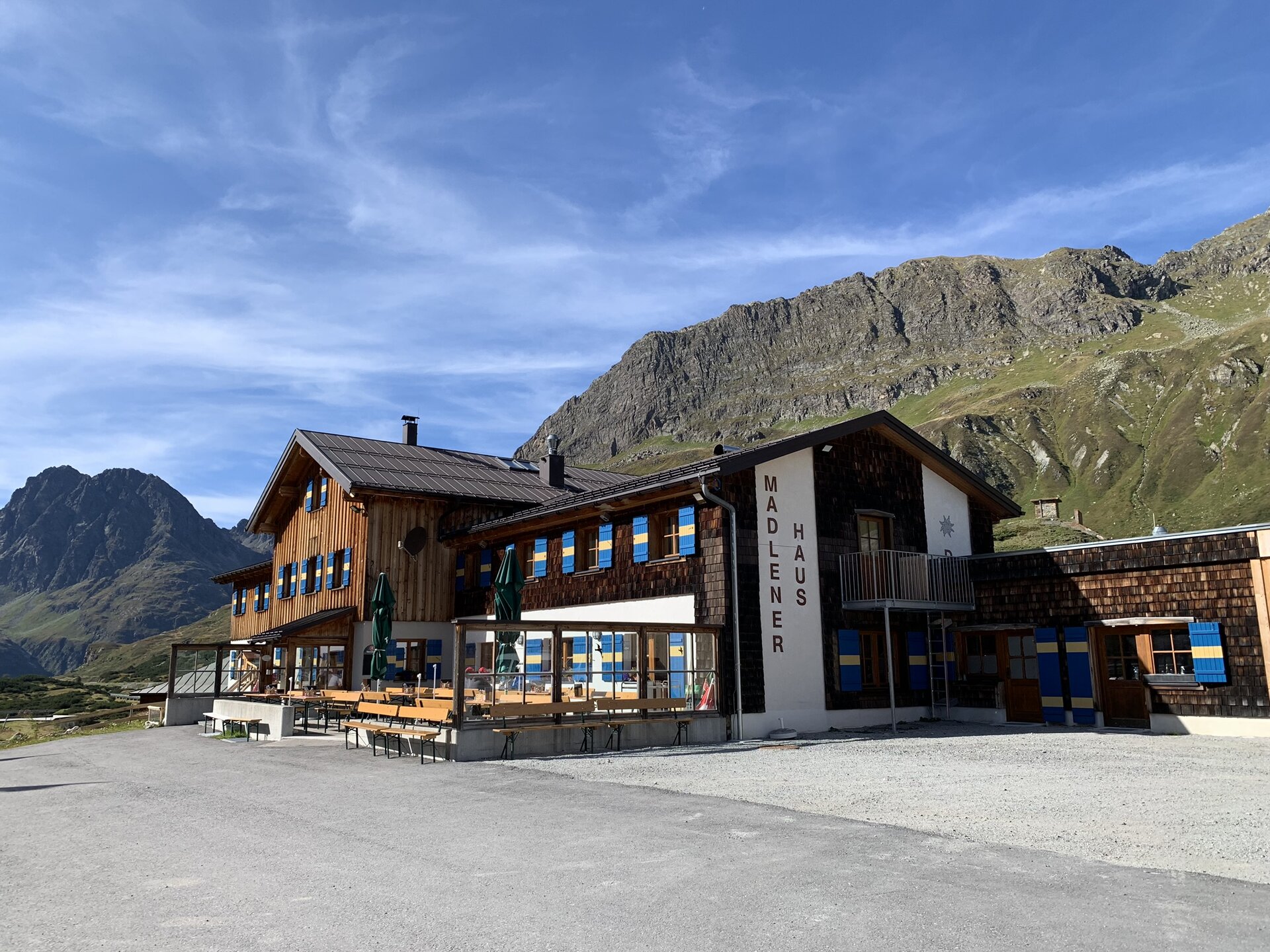
Stage 3: Neue Heilbronner Hütte to Madlenerhaus
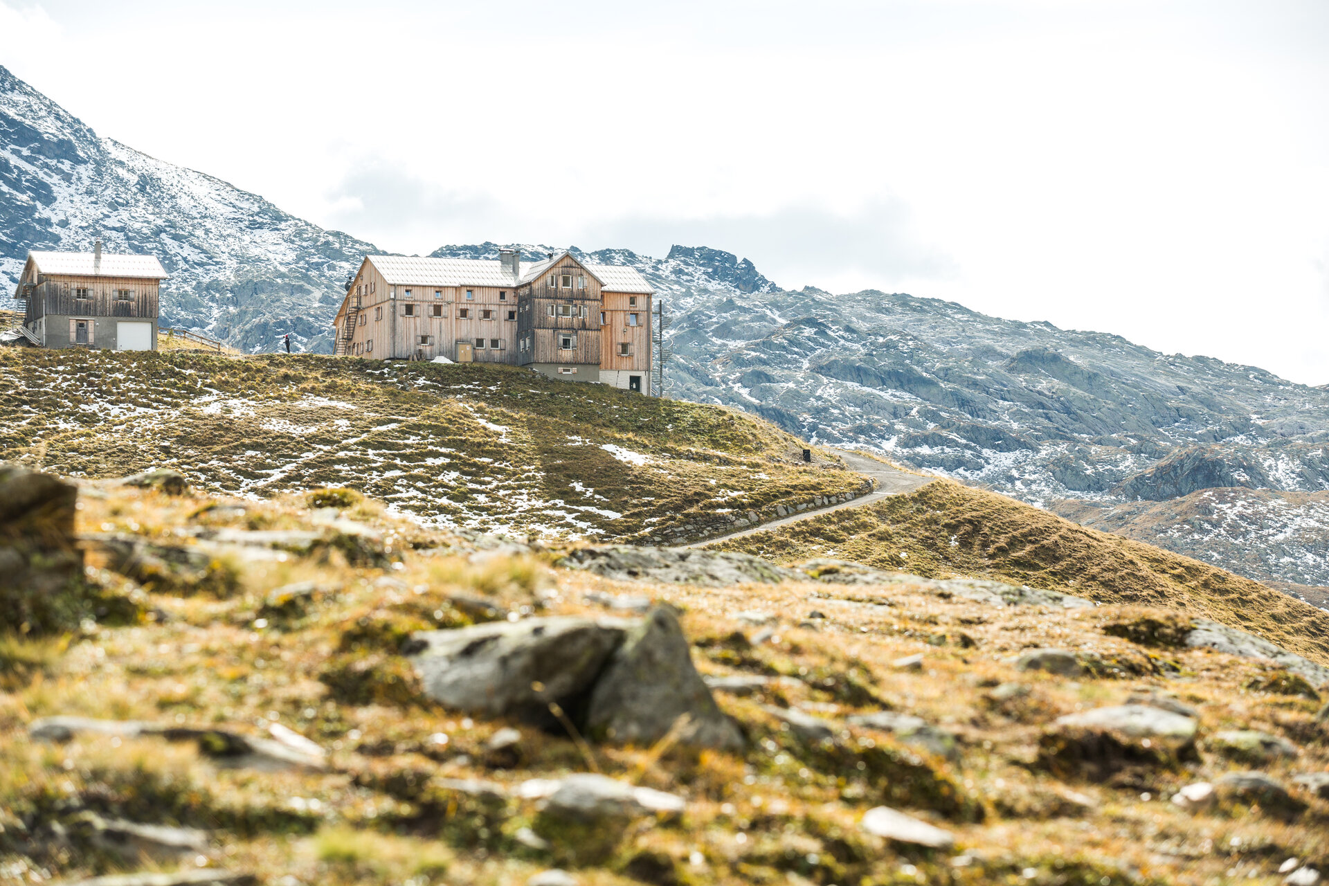
From the Neue Heilbronner Hütte, the farm road leads you to the Verbellaalpe and on to Kopssee. That’s where the Vallülaweg begins. The more challenging ascent first takes you to the idyllically situated Vallülasee and then on to the upper mountain lake. Between the Vallüla and the Kleine Vallüla, the trail winds uphill over large boulders to the pass. From the signpost at the pass, you’ll reach the Bielerhöhe in about 1.5 hours. At Kopssee, you have the option to bypass the section along the Vallüla Trail by taking the bus from the Kops Gasthaus Zeinisjoch stop to Silvrettasee.
Walking time: approx. 8:15 hrs / Distance: approx. 18.3 km / Ascent: 928 hm / Descent: 1,192 hm
Stage 4: Madlenerhaus to Wiesbadener Hütte
This stage takes you on a wide loop around the Hohe Rad. From Silvrettasee, the trail first follows the lakeshore and then heads into the Bieltal valley. Surrounded by mountains nearly 3,000 meters high, you’ll hike toward the Radsattel. Passing the Radsee, you’ll reach the Radsattel with its impressive view of the Ochsentaler Glacier, Piz Buin, and the entire Silvretta massif. You’ll then descend toward the Ochsentaler Glacier to the Wiesbadener Hütte.
Hiking time: approx. 3:35 hrs / Distance: approx. 7.7 km / Ascent: 704 hm / Descent: 291 hm
Stage 5: Wiesbadener Hut to Saarbrücker Hut
From the Wiesbadener Hut, the farm road leads you through the Ochsental Valley to Lake Silvretta. At the confluence with the Ill River, turn left and shortly thereafter turn left again toward the Klostertal Valley and the Saarbrücker Hut. After about an hour, the trail branches off to the right across the Klostertaler Bach into the Verhupftäli. From there, the trail continues to the Litzner Sattel. After about 50 minutes, you’ll reach the Saarbrücker Hütte.
Hiking time: approx. 4:45 hrs / Distance: approx. 10.7 km / Ascent: 798 hm / Descent: 706 hm
Stage 6: Saarbrücker Hütte to Tübinger Hütte
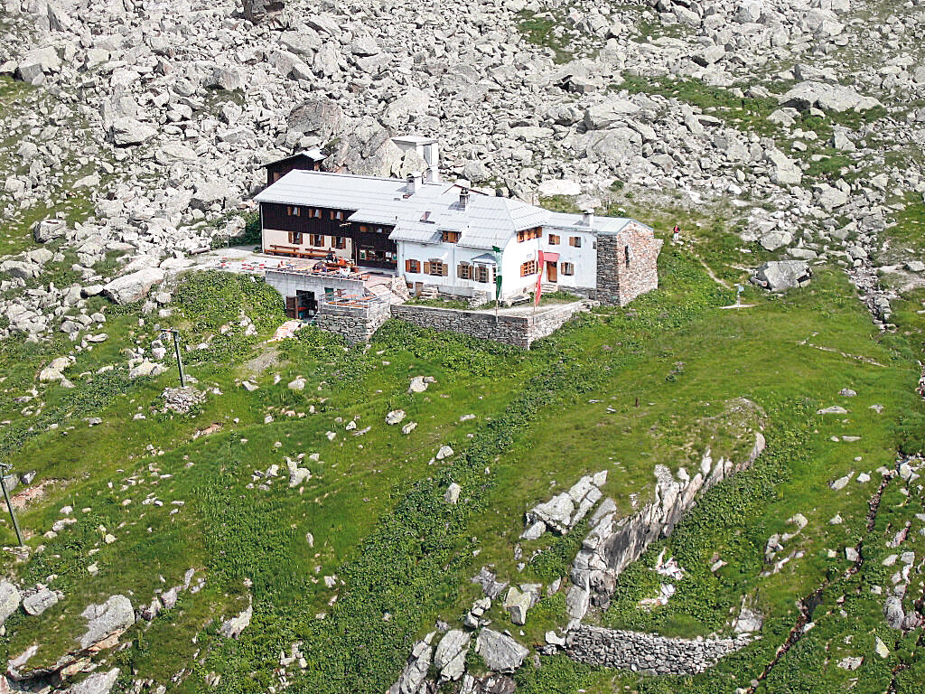
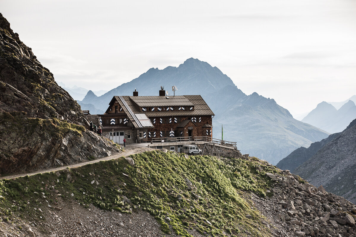
From the Saarbrücker Hütte at 2,538 meters—the highest hut on the Montafon Hut Loop—the trail leads you up to the Seelücke. Along the way, you’ll be treated to a breathtaking view of the Großlitzner and the Großes Seehorn. The shorter route across the Kromer Glacier must not be taken, as there is a risk of falling rocks and slipping. From the Seelücke, the trail leads into the Seetal valley, past the Seegletscher. After about 45 minutes, the trail climbs again to the Plattenjoch at 2,728 meters. From there, the challenging trail continues to the Tübinger Hut.
Hiking time: approx. 2:45 hrs / Distance: approx. 4.6 km / Ascent: 397 hm / Descent: 747 hm
Stage 7: Tübinger Hut to Gargellen
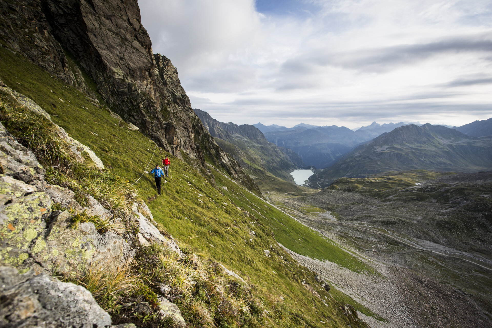
From the Tübinger Hütte, the trail takes you over the Mittelbergjöchli and the Vergaldner Jöchli at 2,515 meters into the Vergaldnertal valley. There is a short section with a rope along the way. From the Vergaldaalpe, the trail continues for about an hour to Gargellen, the next stage destination.
Hiking time: approx. 5:00 hrs / Distance: approx. 12.2 km / Ascent: 326 hm / Descent: 1,109 hm
Stage 8: Gargellen to Tilisunahütte
From the town center in Gargellen, the trail leads past the Hotel Madrisa to the Ronggalpe, the first and only place to stop for refreshments on this stage. The trail continues to the Lower Röbialpe and then to the Upper Röbialpe. The trail leads up across a vast high plateau to the Sarotlajoch. Once in Swiss territory, you’ll reach the Plasseggen Pass, where a short section is secured with a wire rope. The panorama is dominated by the striking limestone formations of the Rätikon. Old customs houses serve as a reminder of the era of smuggling. From the Plasseggen Pass, the Rätikon Höhenweg Nord leads past high moors and below the steep cliffs of Scheienfluh and Weissplatte to the Tilisuna Hut.
Hiking time: approx. 4:45 hrs / Distance: approx. 9.8 km / Ascent: 1,091 hm / Descent: 286 hm
Stage 9: Tilisuna Hut to Lindauer Hut
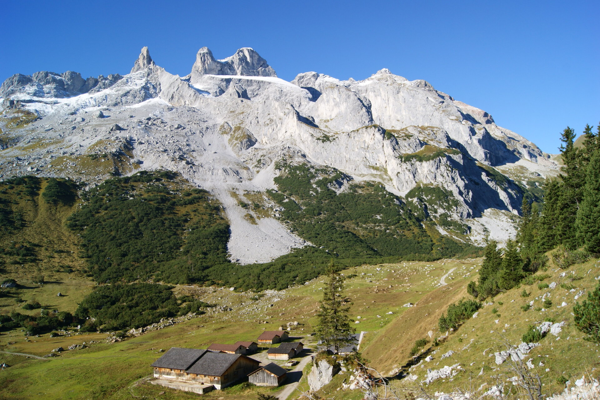
From the Tilisuna Hut, a short climb takes you to the Schwarzhorn Saddle. The trail continues over the Bilken Ridge—with views of Sulzfluh, the Drei Türme, and Drusenfluh—to the Lindauer Hut. Sure-footedness is required on the Bilken Ridge.
Walking time: approx. 2:30 hrs / Distance: approx. 4.6 km / Ascent: 211 hm / Descent: 679 hm
Stage 10: Lindauer Hut to Totalphütte
From the Lindauer Hut, the trail first leads to the nearby Sporaalpe. At the foot of the limestone peaks Drei Türme and Drusenfluh, the route continues toward Lünersee. After climbing about 450 meters in elevation—or 1.5 hours—you’ll reach the Öfen Pass. After another 30 minutes or so, you’ll reach the Schweizer Tor. An old customs house here serves as a reminder of the area’s history of border control and smuggling. To the right of the Schweizer Tor lie the Kirchlispitzen. The trail continues to the Verajoch at 2,323 meters. On the descent, you can already see Lünersee. At the Lünersee-Alpe, turn left and follow the trail to the Totalphütte.
Walking time: approx. 4:45 hrs / Distance: approx. 10.6 km / Ascent: 1,157 hm / Descent: 525 hm
Stage 11: Totalphütte to Douglass Hütte
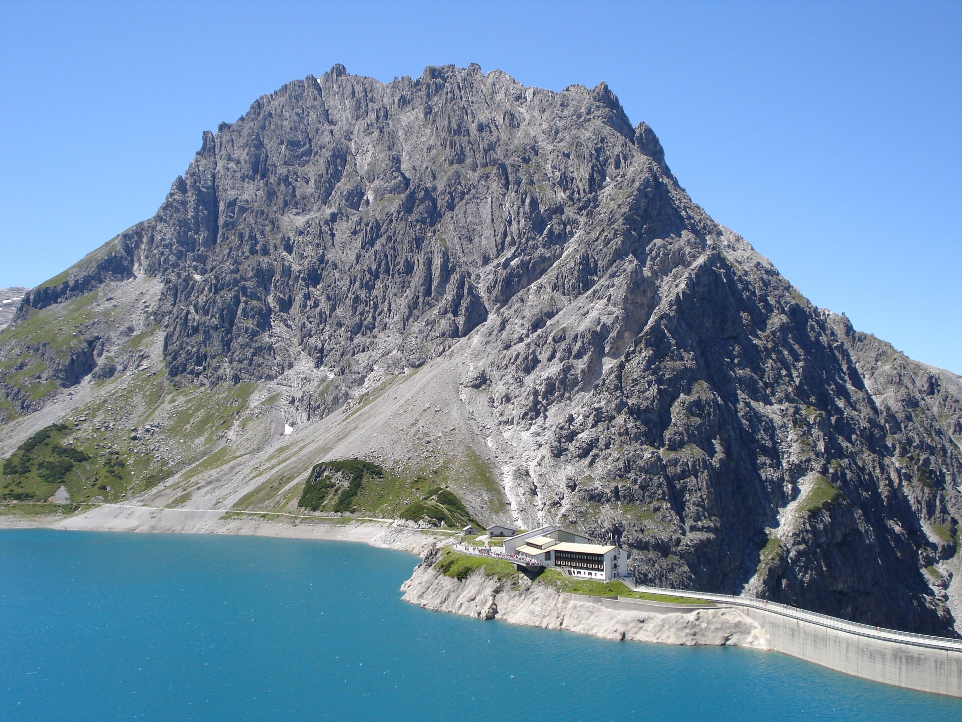
From the Totalphütte, the trail leads you down a path to Lake Lünersee. Following the lakeside path, you’ll reach the Douglass Hütte.
Walking time: approx. 1:10 hr / Distance: approx. 3 km / Ascent: 19 hm / Descent: 454 hm
Stage 12: Douglass Hut to Heinrich Hueter Hut
From the Douglass Hut on Lake Lünersee, the trail takes you along the lake through the impressive mountain landscape of the Rätikon. After a gentle ascent, a sweeping view of the Montafon opens up before you. Particularly striking is the Zimba, which is also known as the “Montafon Matterhorn” due to its distinctive shape. It accompanies you along the rest of the way to the Heinrich Hueter Hut.
Walking time: approx. 2:00 hrs / Distance: approx. 4.8 km / Ascent: 227 hm / Descent: 454 hm
Stage 13: Heinrich Hueter Hut via Matschwitz to Latschau
From the Heinrich Hueter Hut, the trail first takes you to the Alpengasthof Rellstal. After an ascent of about half an hour, the route continues at a leisurely pace across the Platzisalpe toward Außergolm. You then follow the signs to Matschwitz. Passing the Golmalpe, you reach the Matschwitz mountain pasture settlement. Here, you can stop for a break at Haus Matschwitz. Passing the Matschwitz Chapel and following the Golmer Alpweg, you finally arrive in Latschau.
Walking time: approx. 5:15 hrs / Distance: approx. 13.5 km / Ascent: 491 hm / Descent: 1,257 hm
End Point
Any point along the 13 stages
Getting to the starting point
Getting to the Starting Point
Since the Montafon Hut Circuit consists of 13 stages, there isn’t just one traditional starting point. The individual stages can be started at different locations.
By public transportation:
With the Montafon regional bus and the Montafonerbahn, you can get around the valley comfortably and flexibly. Trains and buses connect the towns regularly, every half hour or every hour, depending on the route. You can find the right connection for you HERE.
By car:
Take the A14 to the Bludenz/Montafon exit, then follow the Montafoner Straße L188 into the Montafon. For a multi-day tour, you can park your car in Schruns in the underground parking garage at the Löwen Hotel and continue from there by public transportation to the starting point of your respective stage. You can park your car there for up to one week. For parking longer than one week, please contact the Löwen Hotel at +43 5556 7141 or reservierung@loewen-hotel.com.
Important Information
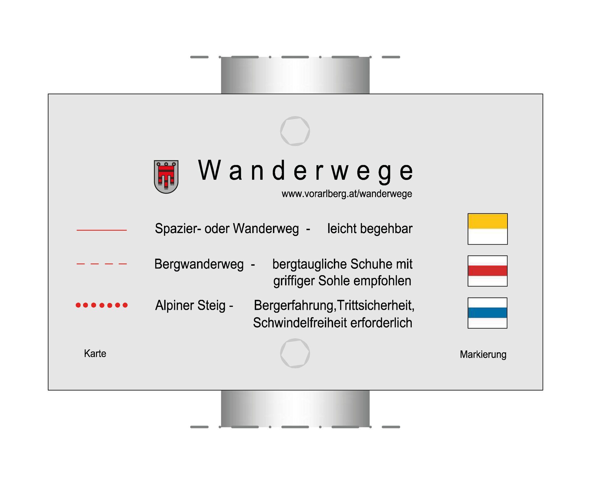
The Montafon Hut Circuit is a challenging multi-day hike for experienced mountain hikers. Depending on the stage, the route leads through high-alpine terrain and along alpine trails. These may include safety ropes and steps.
For the entire tour, we recommend good, ankle-high hiking boots with a grippy tread, plenty of food and drinking water, as well as sun and rain protection. Hiking poles can be helpful on the numerous ascents and descents.
Very important: Before each stage, check the current trail conditions and the opening hours of the mountain huts. Certain sections present specific alpine hazards, and alternative routes must not be taken.
Tips
You can also hike individual sections of the Montafon Hut Loop without completing the entire loop.
Due to high demand at the huts, we recommend that you book your accommodations early and directly with the respective huts.
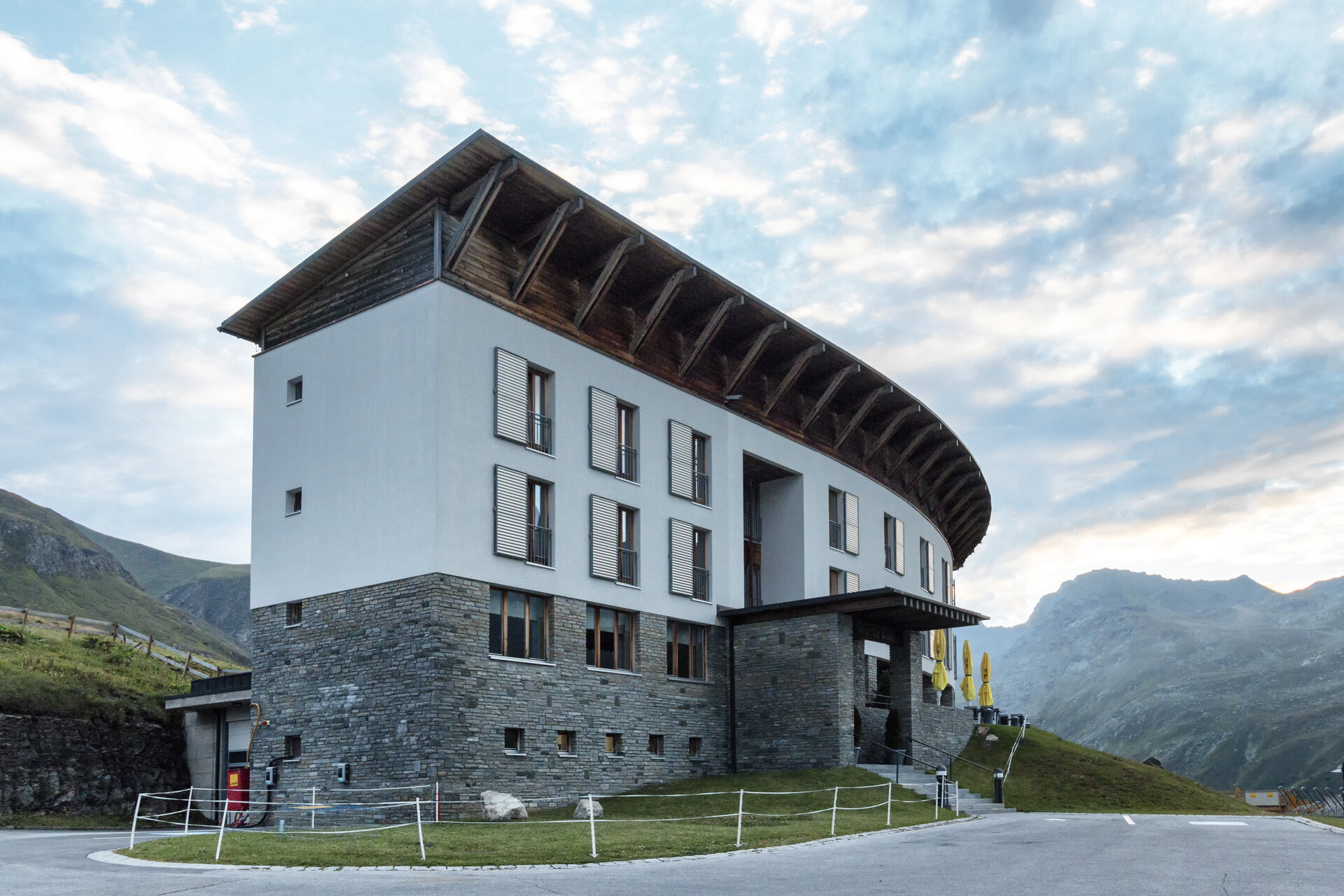
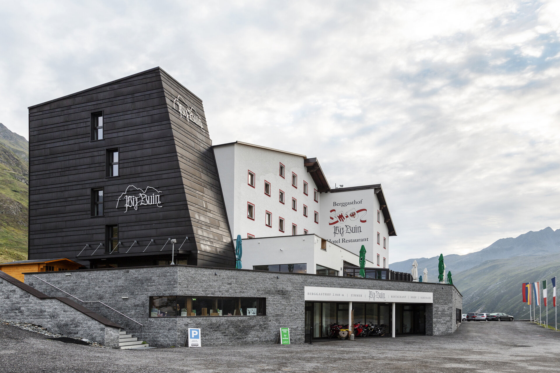
The section between the Neue Heilbronner Hütte and the Wiesbadener Hütte is particularly long. Spending the night near Lake Silvretta—for example, at the Silvretta-Haus, the Berggasthof Piz Buin, or the Madlenerhaus—may be a good idea if you plan your route accordingly.
Sicherheitstipps für Wandern in Vorarlberg
EN NOTRUF:
EN 140 - Alpine Notfälle österreichweit
EN 144 - Alpine Notfälle Vorarlberg
EN 112 - Euro-Notruf (funktioniert mit jedem Handy/Netz)