Montafon Verwallrunde | New Heilbronner Hut to Gaschurn

Tour description
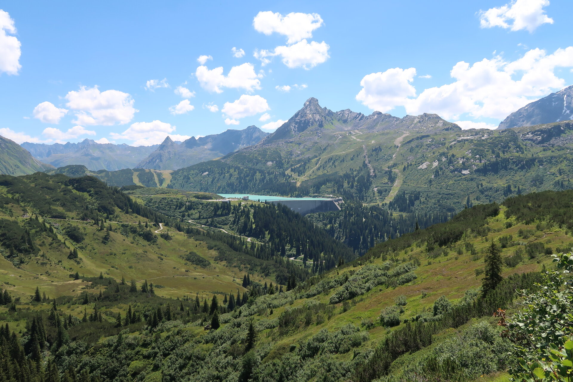
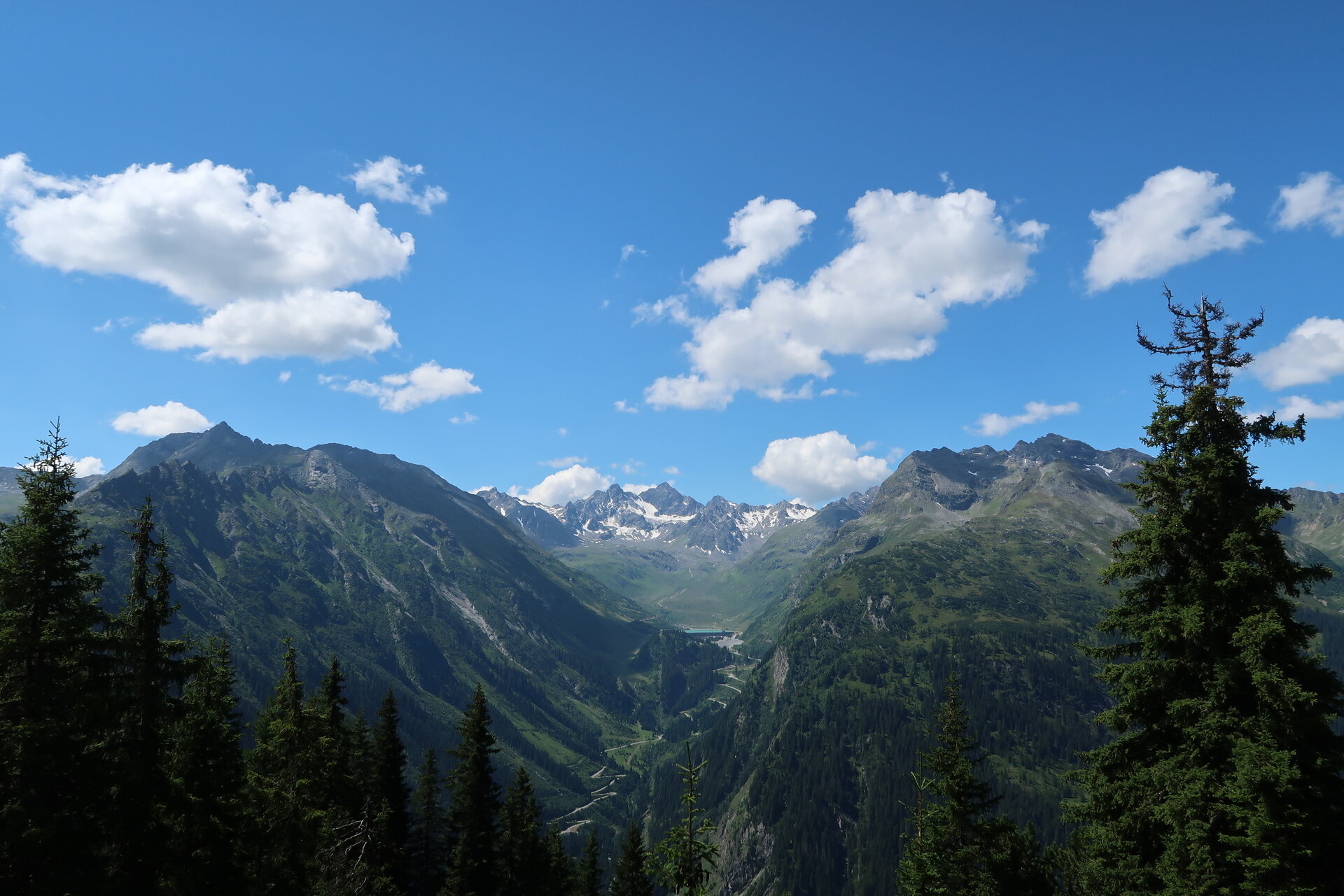
An idyllic leg of the Montafon Verwall Circuit through the Verwall European Protected Area, from the Neue Heilbronner Hütte past Lake Wiegensee to Gaschurn.
The Verwall European Nature Reserve, covering approximately 120 km², is the largest nature reserve in Vorarlberg. This is where the Peripheral Alps and the Central Alps meet, a fact reflected in both the types of rock and the diverse habitats. Within a small area, bogs, lakes, larch and Swiss stone pine forests, mountain pine and alpine rose thickets, colorful alpine meadows, and rugged rocky habitats lie side by side.
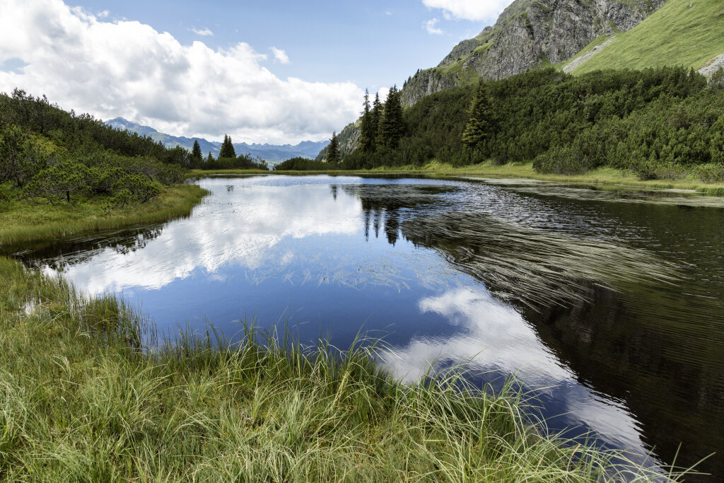
The Verwall’s seclusion provides valuable refuges for numerous rare and endangered animal and plant species. The Wiegensee and the surrounding landscape make the unique diversity of this protected habitat particularly striking along this stage of the trail.
What is the Montafon Alpine Mosaic?
The Alpenmosaik Montafon brings the region’s scenic diversity to life. The four exploration areas—Verwall, Silvretta, Rätikon, and the valley—offer different perspectives on nature, the landscape, and culture.
You can find more information about the Montafon Alpine Mosaic HERE.
Starting Point - Directions - End Point
Starting Point
Neue Heilbronner Hütte
Directions
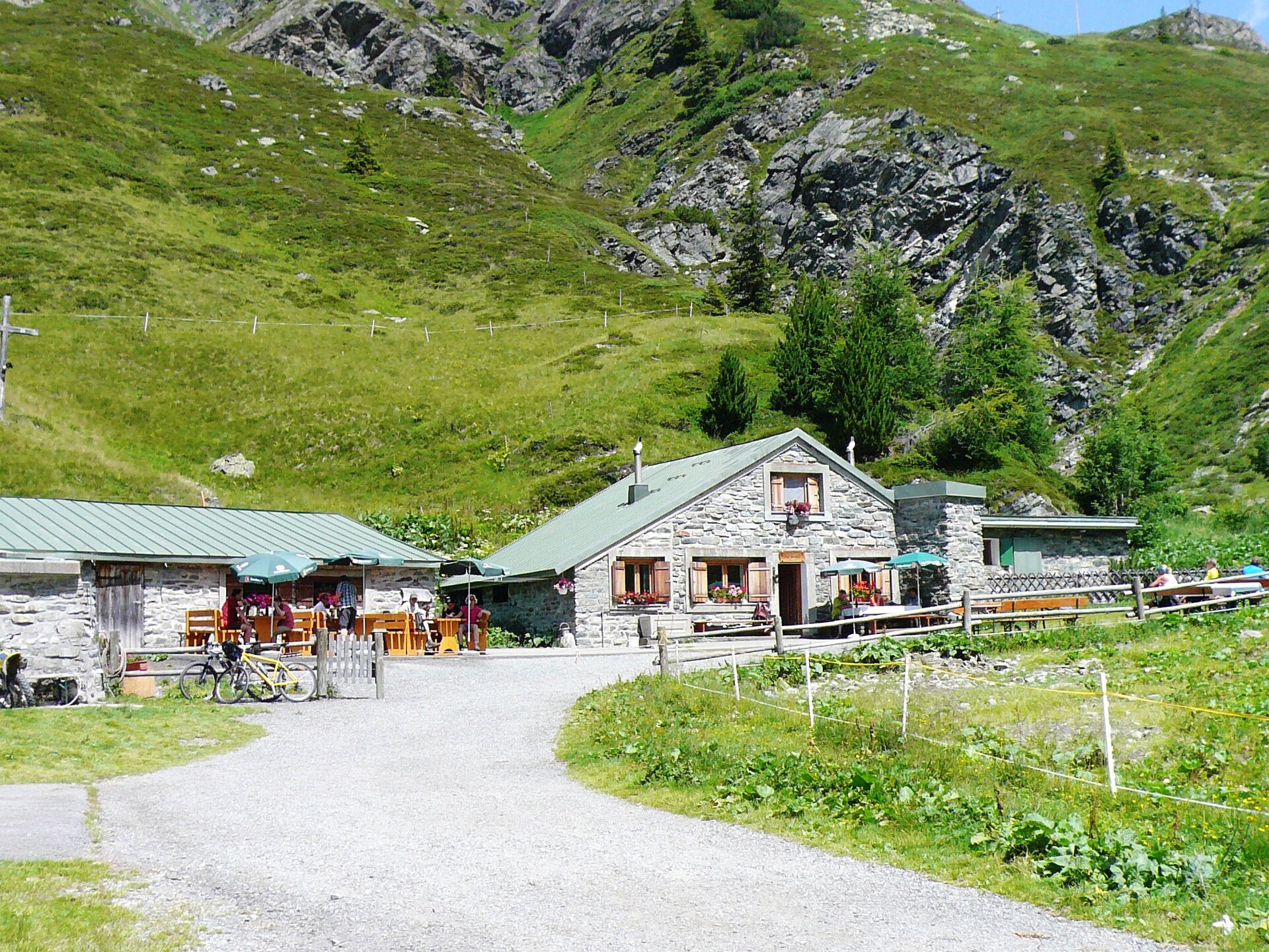
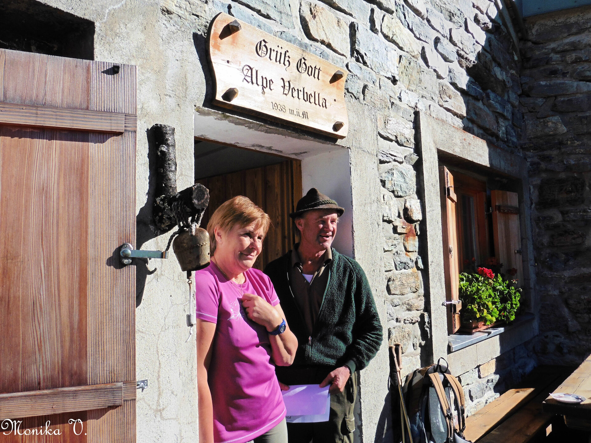
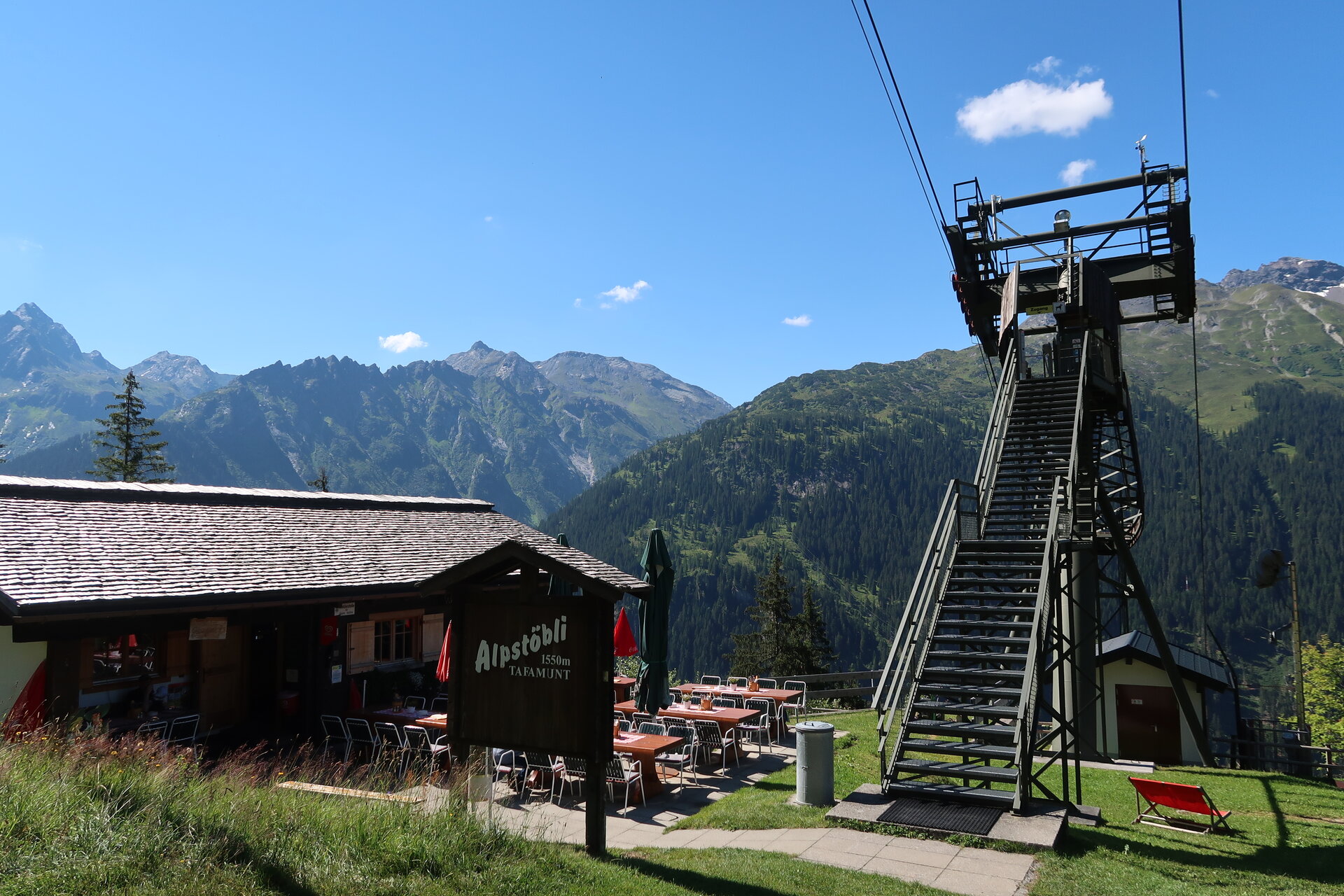
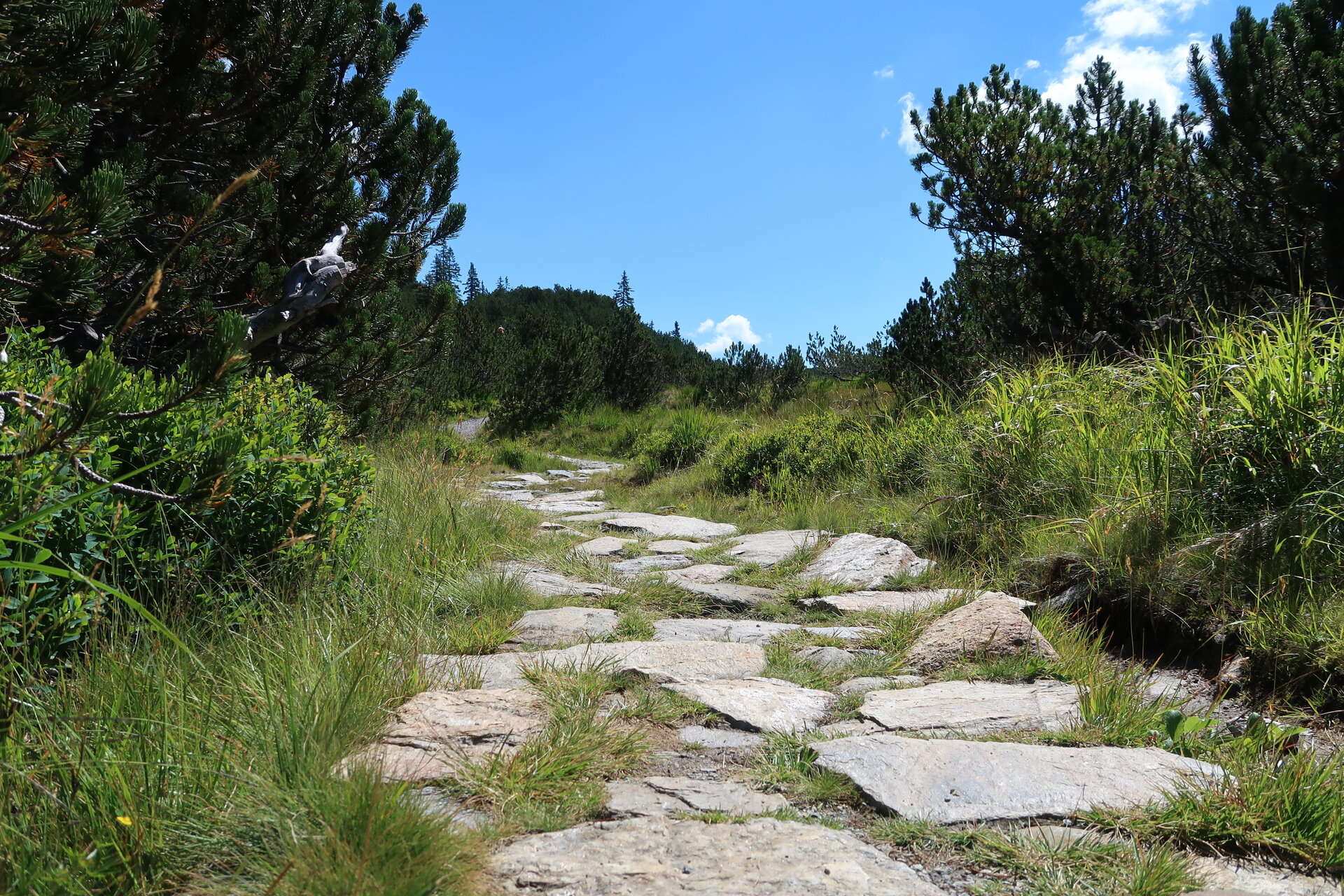
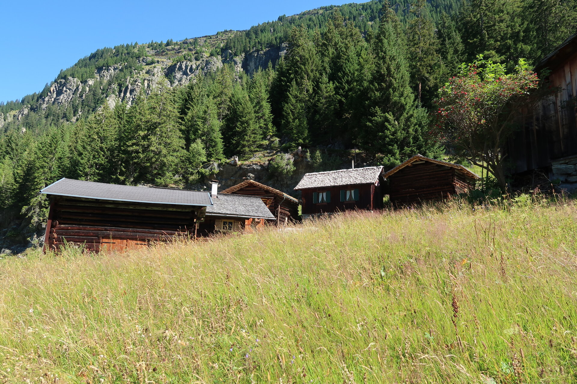
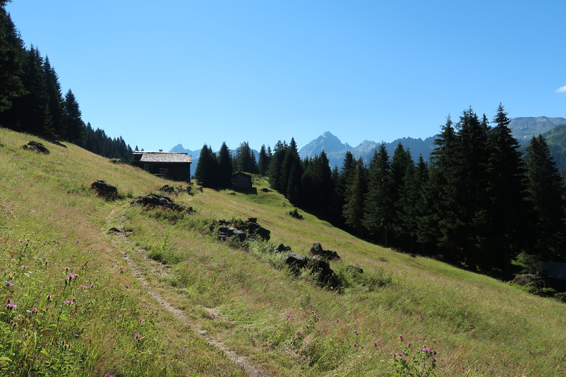
From the Neue Heilbronner Hütte, the trail leads you down to the Verbellaalpe. Before reaching the Verbellaalpe, cross the alpine road and then follow the trail across the alpine meadow toward Wiegensee. After a break at Wiegensee, the route continues to the Inner Tafamuntmaisäß, where you can enjoy a light snack at the Alpstöbli. The trail then passes the Außer Tafamuntmaisäß and continues down the valley toward Gaschurn, where you’ll eventually reach the town center.
End Point
Gaschurn, town center
Getting to the starting point
Getting to the Starting Point
The starting point for the tour is the Neue Heilbronner Hütte.
By public transportation:
The Montafon regional bus and the Montafonerbahn offer a convenient and flexible way to get around the valley. Trains and buses run regularly between the towns, either every half hour or every hour, depending on the route. You can find the right connection HERE. The nearest bus stop for the hike is Partenen Bergbahnen. From there, take the Tafamuntbahn to the mountain station and then continue on foot to the Neue Heilbronner Hütte.
By car:
Take the A14 to the Bludenz/Montafon exit, then follow the Montafonerstraße L188 to Partenen. Parking is available at the Tafamuntbahn valley station. From there, take the Tafamuntbahn to the starting point of the hike.
Important Information
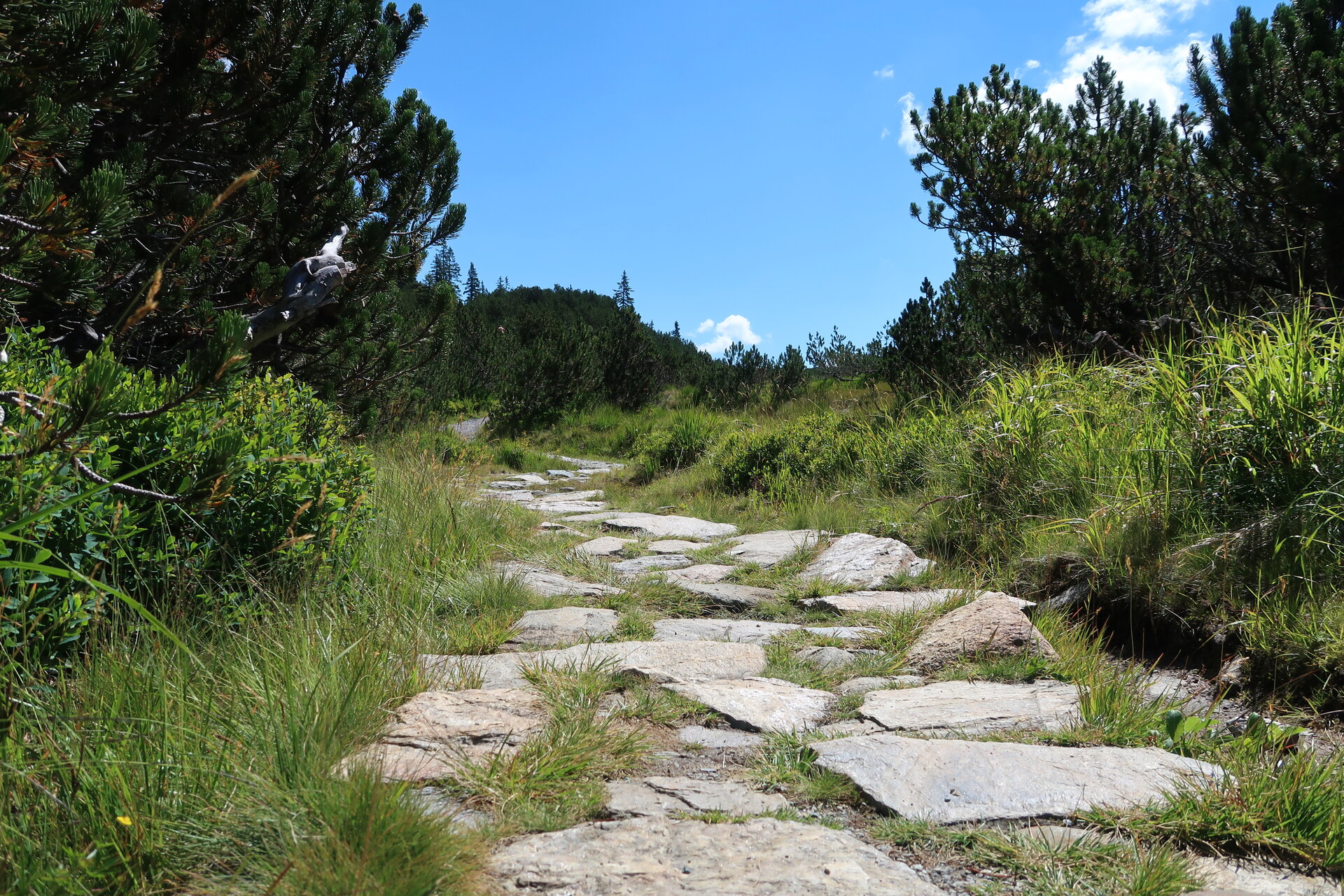
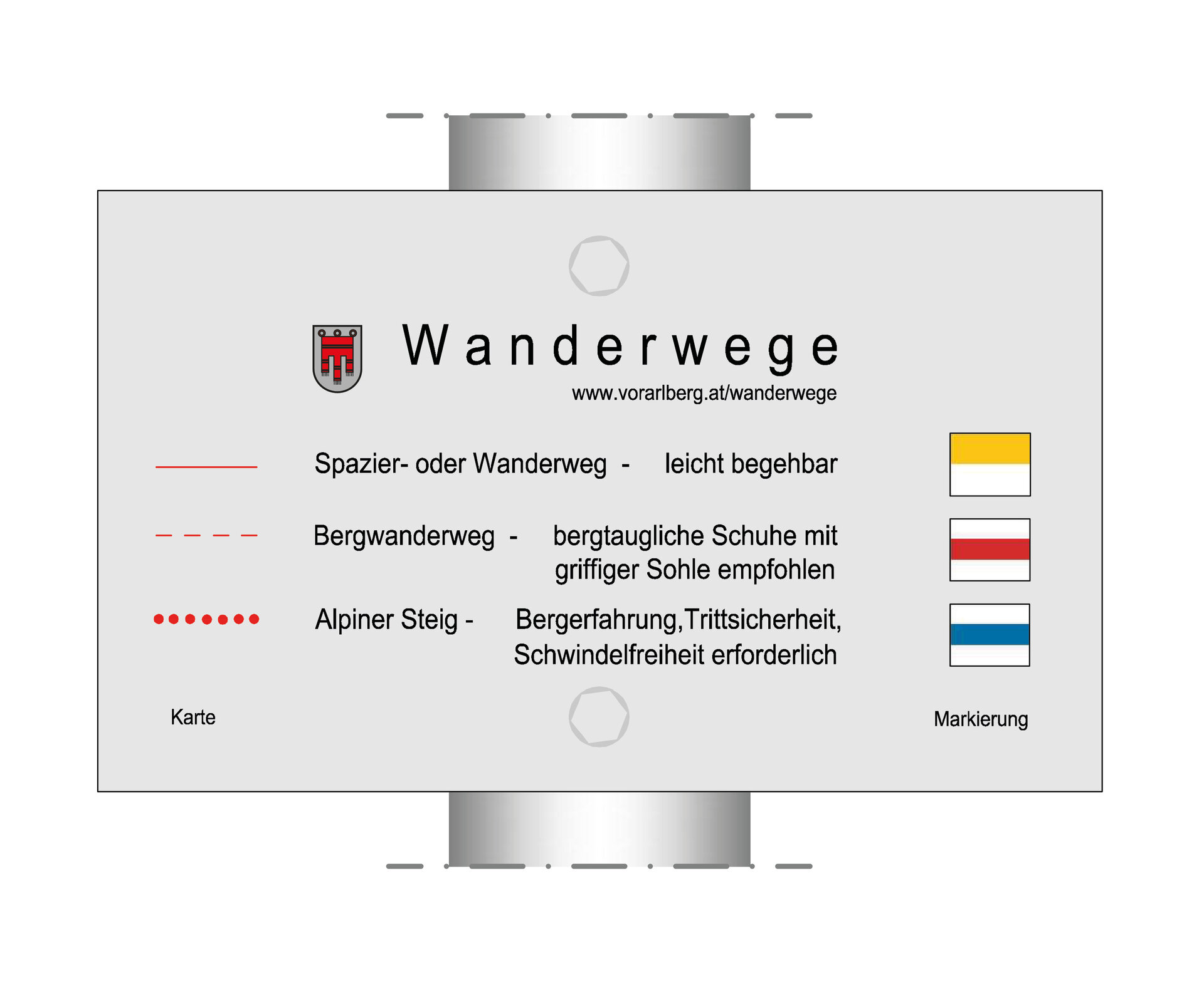
For this hike, we recommend sturdy, ankle-high hiking boots with good traction, plenty of food and drinking water, and weather-appropriate clothing. Hiking poles can help you during the ascents and descents.
Tips
At the Verbellaalpe, you can refuel with a hearty Marend platter.
Sicherheitstipps für Wandern in Vorarlberg
EN NOTRUF:
EN 140 - Alpine Notfälle österreichweit
EN 144 - Alpine Notfälle Vorarlberg
EN 112 - Euro-Notruf (funktioniert mit jedem Handy/Netz)