Montafon Verwall round route


Tour description
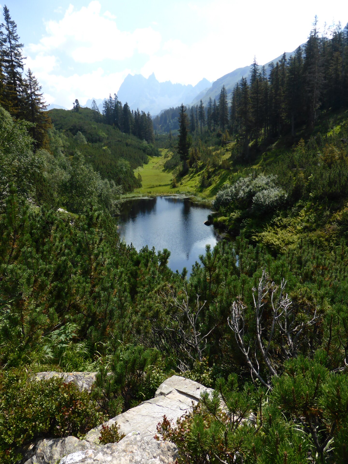
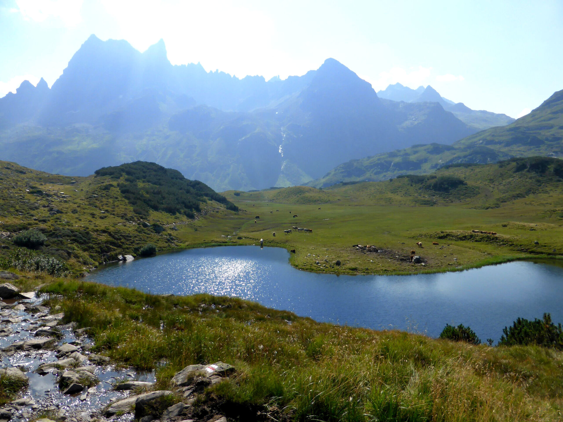
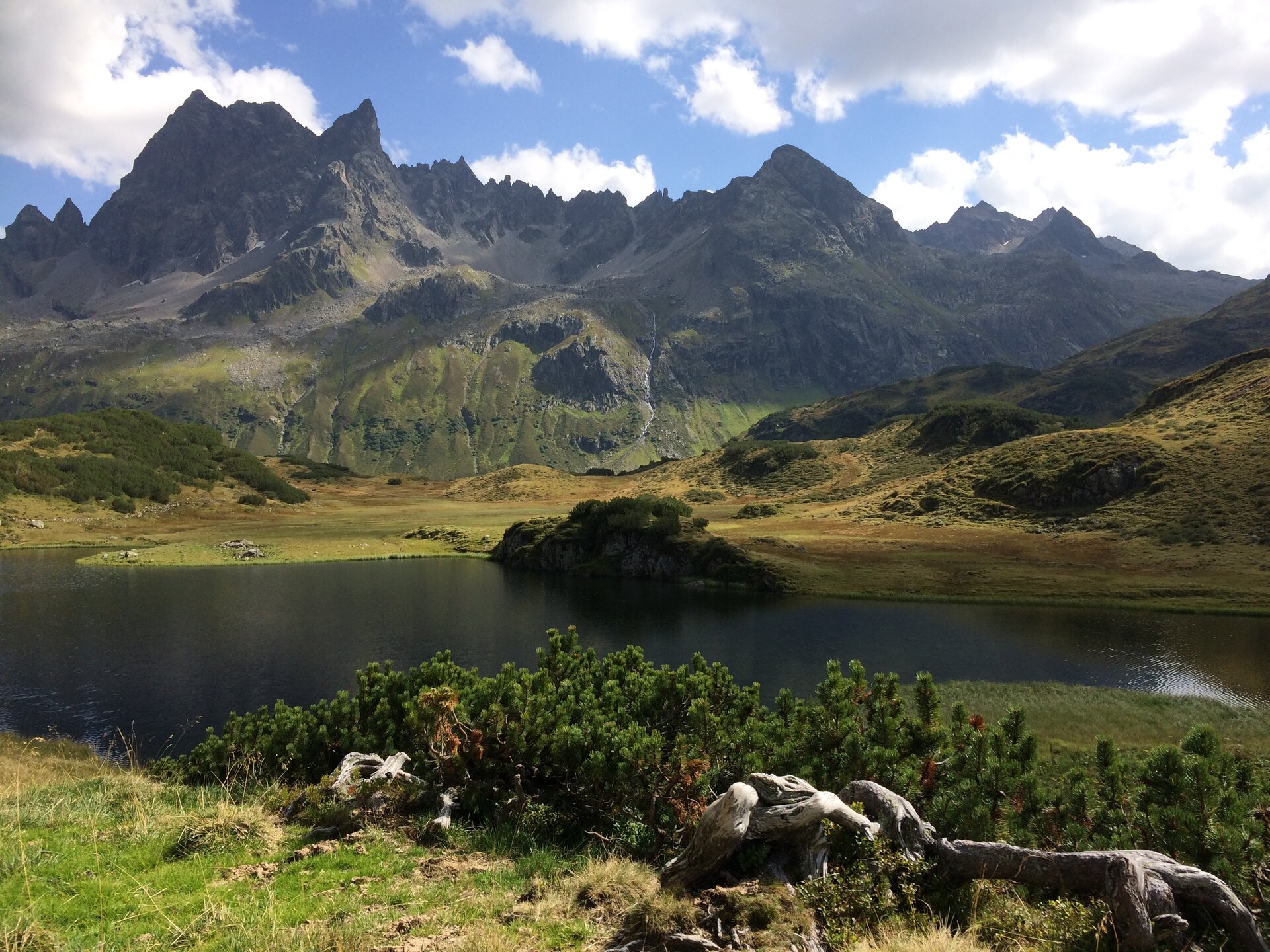
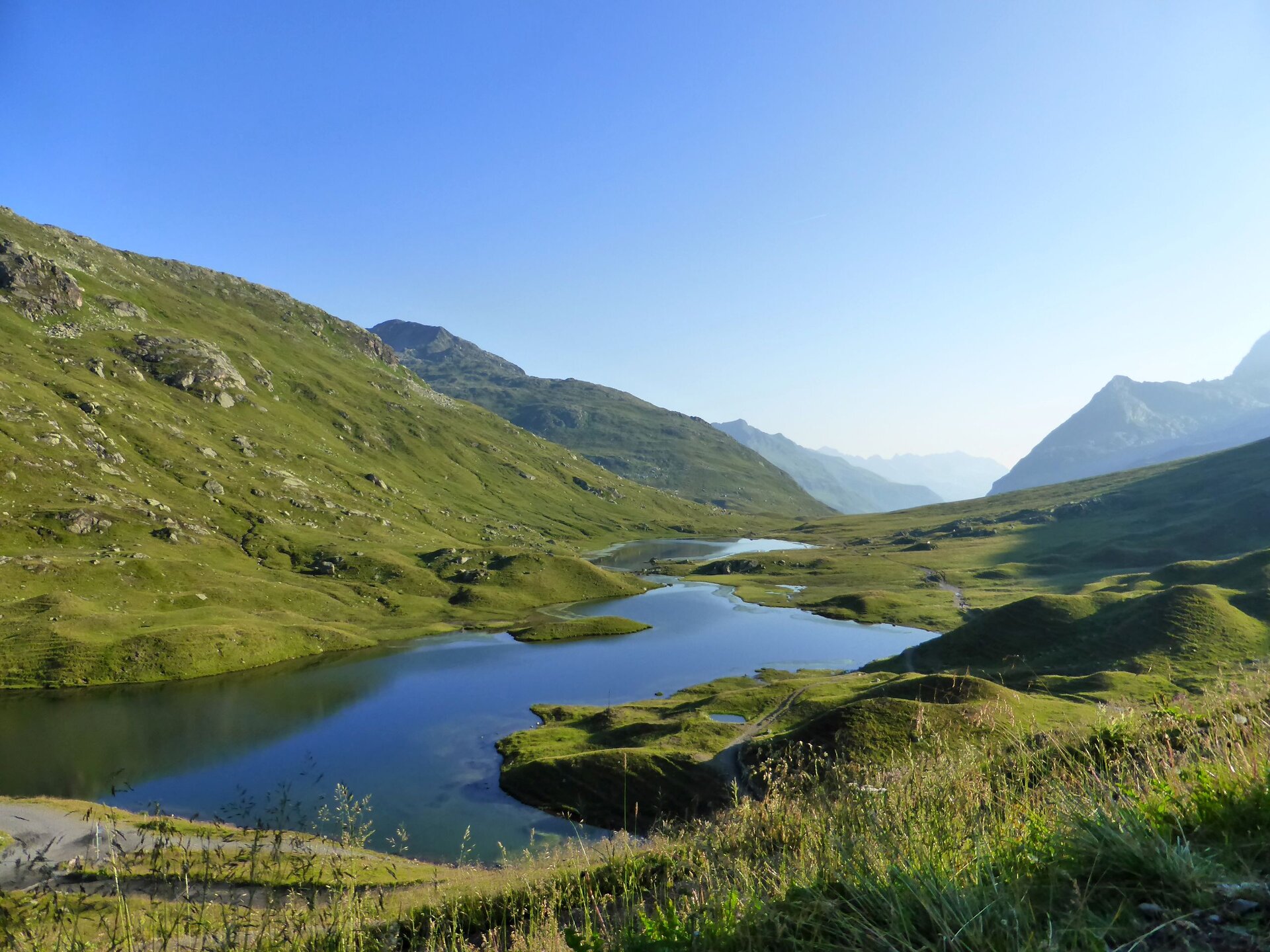
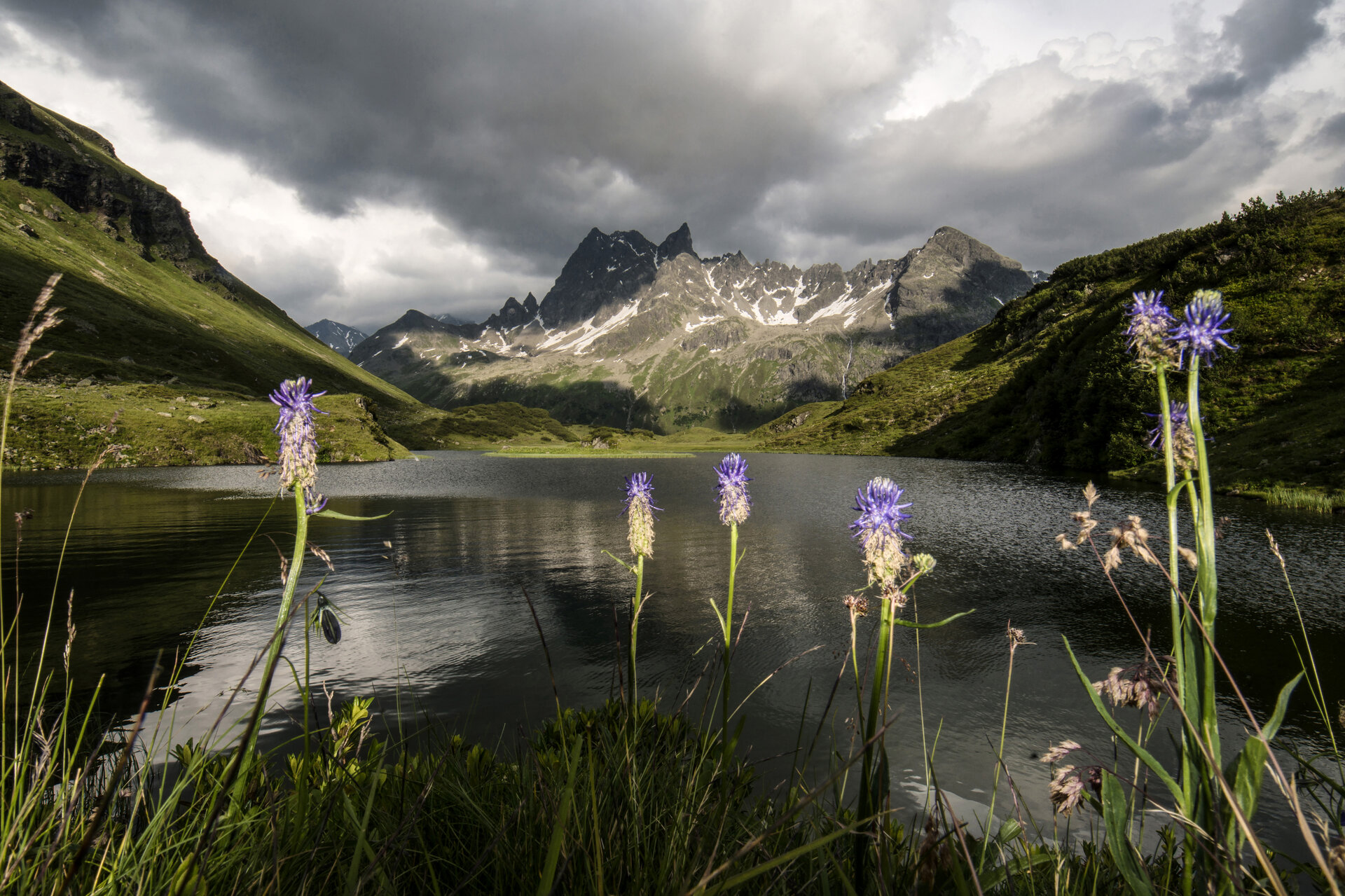
The Montafon Verwall Loop takes you through the Verwall European Protected Area from Silbertal to Gaschurn, connecting tranquil mountain lakes, marshes, and diverse alpine habitats with breathtaking views.
The Verwall European Nature Reserve stretches from the Litz river valley floor to the high peaks of the Verwall Group. The transition from the Peripheral Alps to the Central Alps creates an extraordinary diversity of rocks, habitats, and species. Lakes, marshes, mountain pine and larch forests, and colorful alpine meadows shape the landscape and provide valuable refuges for rare birds and other wildlife.
The two-day hike leads through this tranquil and diverse mountain world, showcasing different facets of the Verwall. Along the way, pristine landscapes alternate with opportunities to stop for refreshments and enjoy regional delicacies. It is precisely the peace and seclusion that make the Verwall Circuit a special experience for long-distance hikers.
What is the Montafon Alpine Mosaic?
The Montafon Alpine Mosaic brings the region’s scenic diversity to life. The four exploration areas—Verwall, Silvretta, Rätikon, and the valley—offer different perspectives on nature, the landscape, and culture.
You can find more information about the Montafon Alpine Mosaic HERE.
Starting Point - Directions - End Point
Starting Point
Silbertal, Silbertal Valley Station
Route description
Stage 1: Silbertal to Neue Heilbronner Hütte
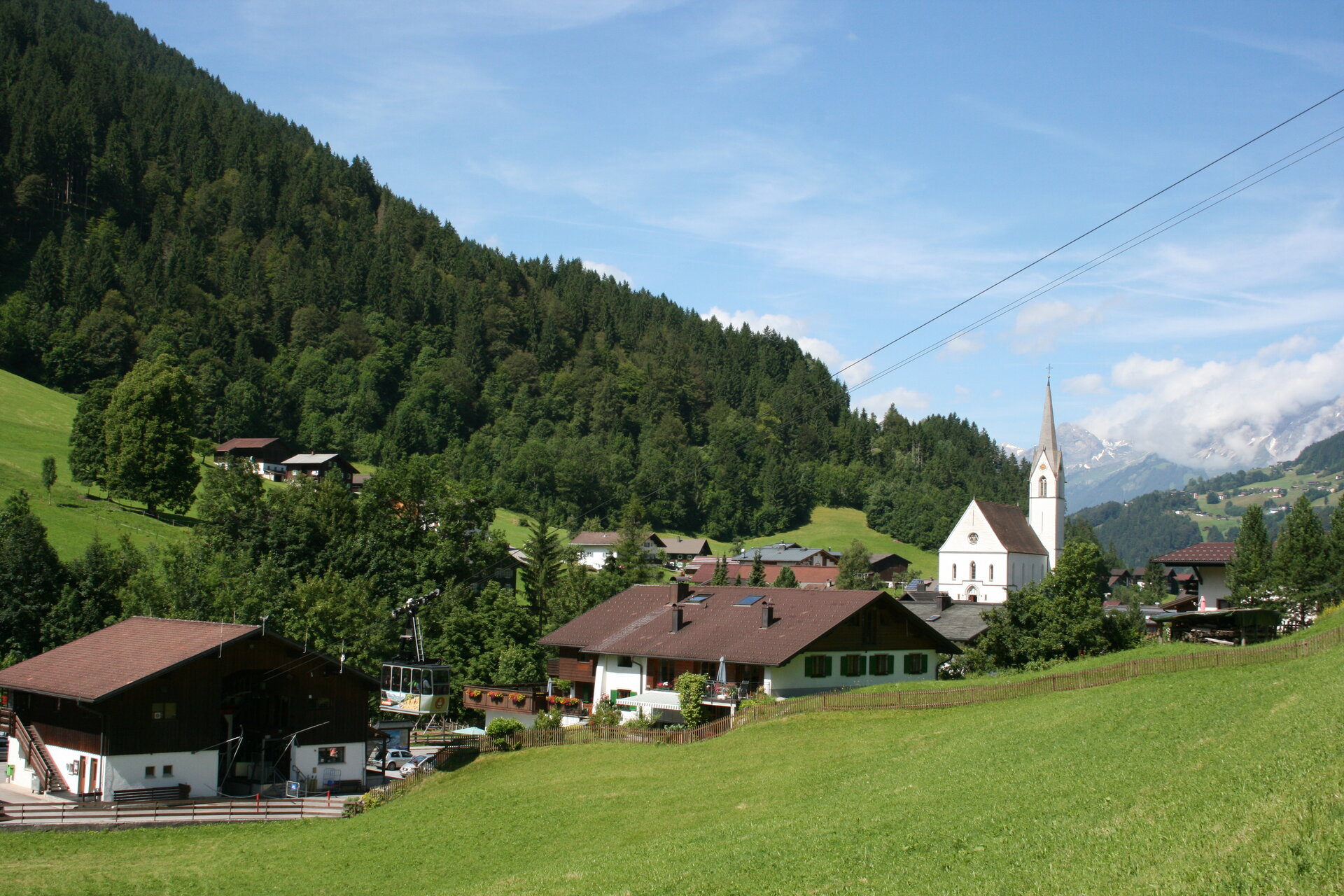
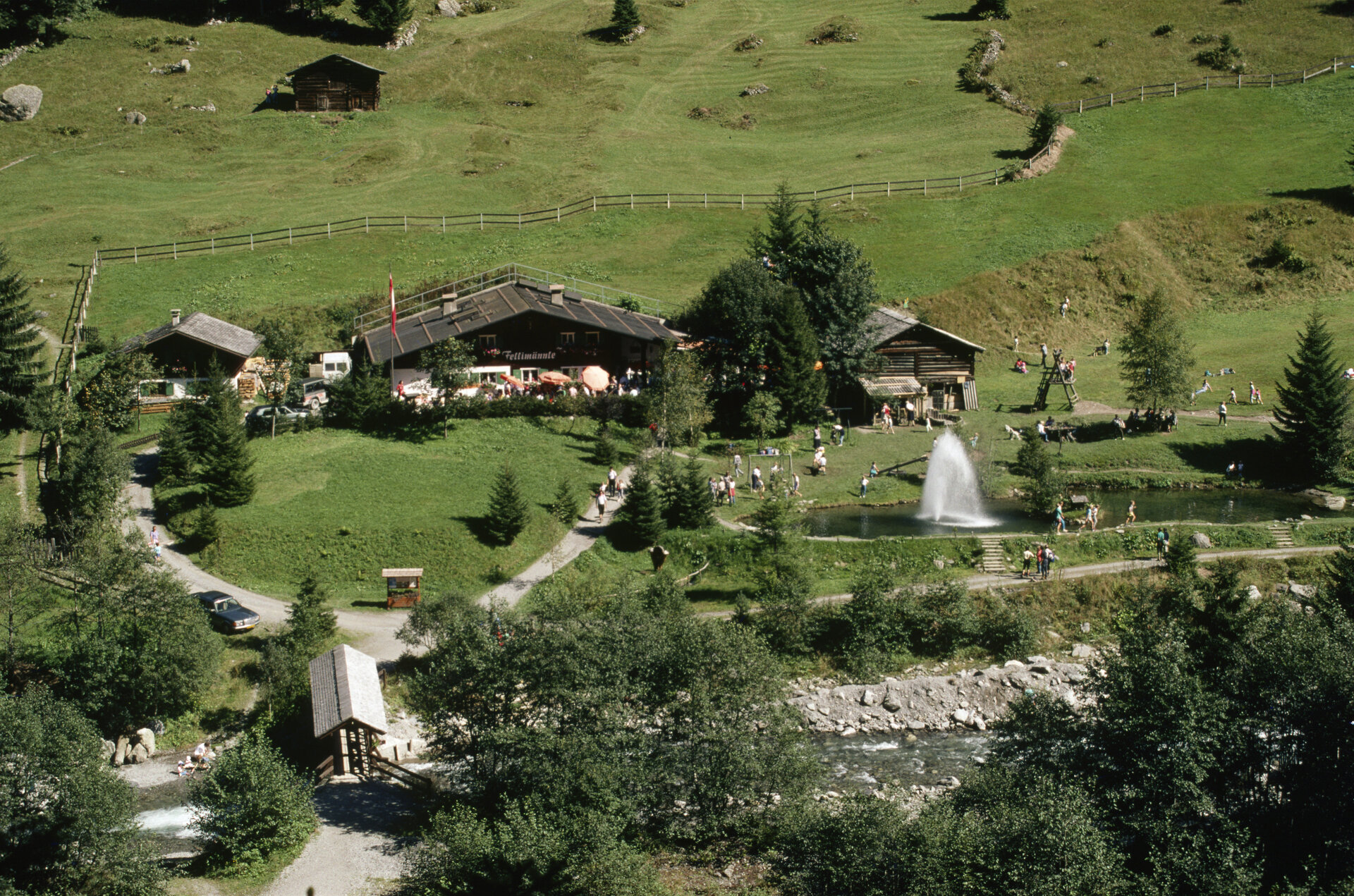
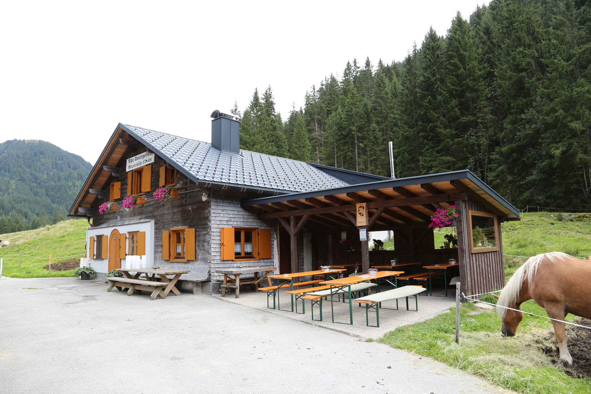
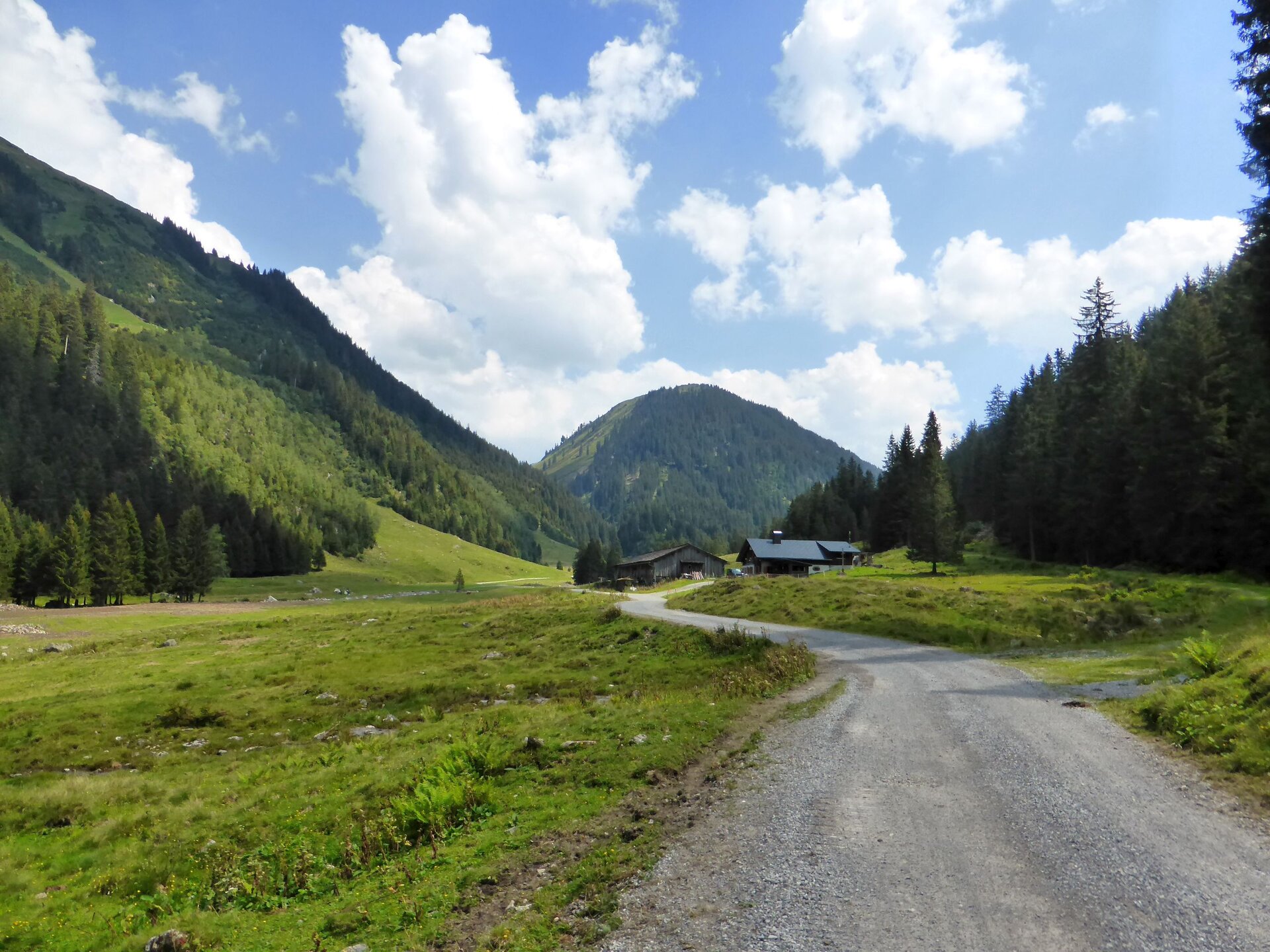
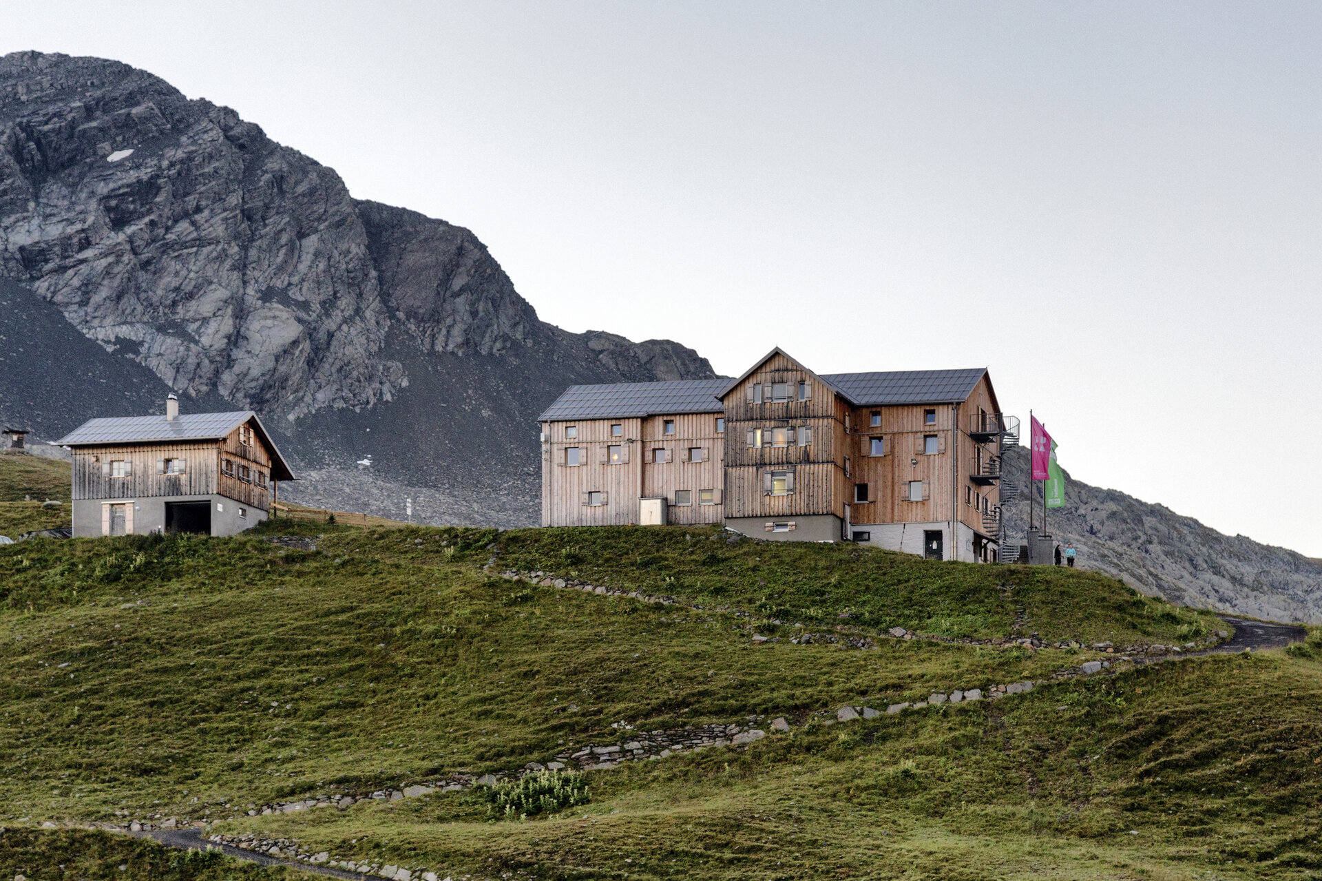
From the Kristbergbahn, the trail leads you into the upper Silbertal. Along the way, you’ll pass the Fellimännle Inn and reach the Untere Gaflunaalpe. Alternatively, you can cover this first section by hiking bus. From the Untere Gaflunaalpe, the trail continues into the upper Silbertal valley and over the Obere Freschalpe to Langsee. After a break at Langsee, the trail leads you to the Schönverwall and then uphill to the right toward the Verbellner Winterjöchli. Above the Scheidseen, you’ll finally reach the Neue Heilbronner Hütte.
Walking time: approx. 7:45 hrs / Distance: approx. 24 km / Ascent: 1,493 hm / Descent: 64 hm
Stage 2: Neue Heilbronner Hütte to Gaschurn
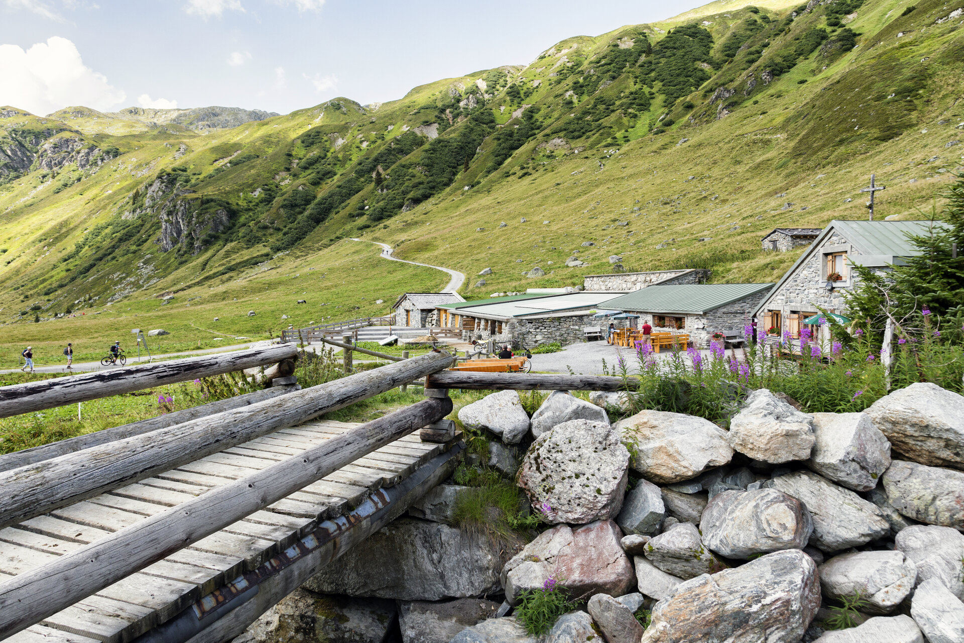
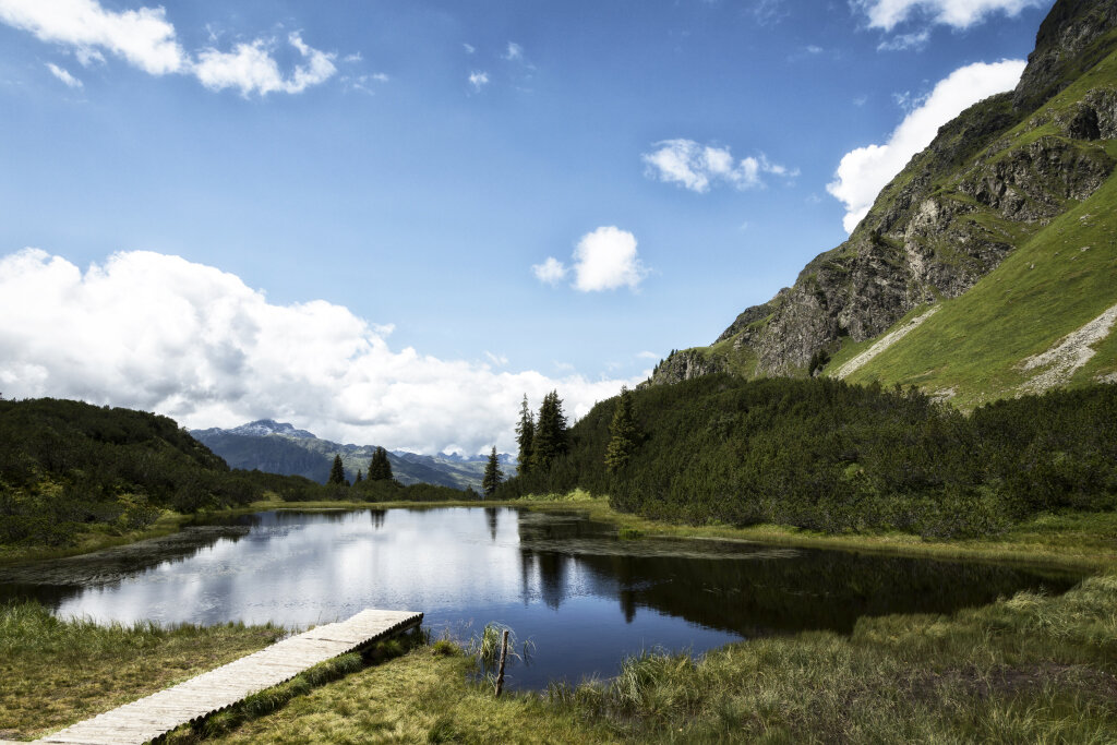
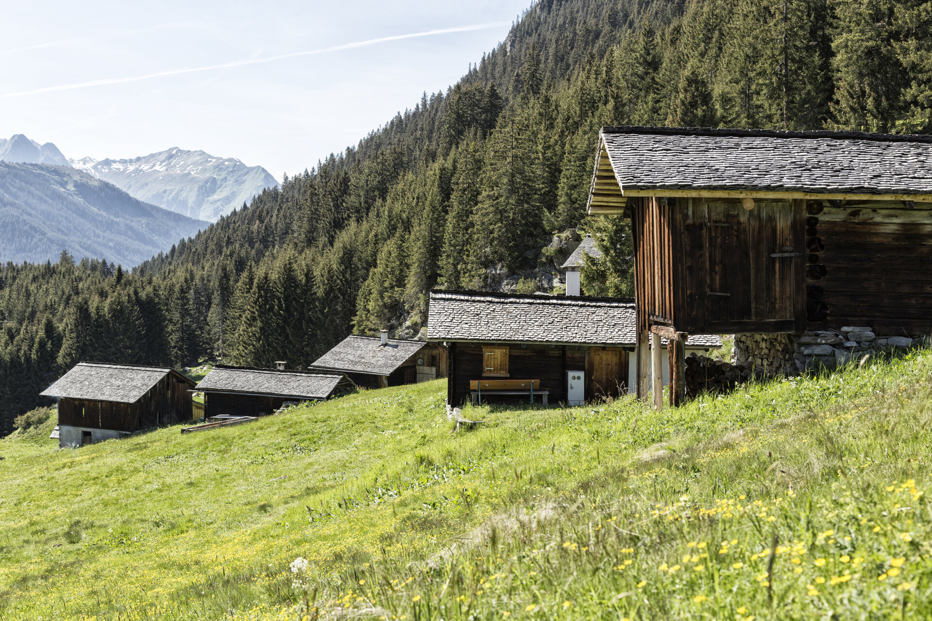
From the Neue Heilbronner Hütte, the trail leads you down to the Verballaalpe. Before reaching the alp, you’ll cross the alp road and follow the trail across the alp meadow toward Wiegensee. After a break at Wiegensee, continue on to the Inner Tafamuntmaisäß with the Alpstöbli. The route then takes you past the Außer Tafamuntmaisäß and further down the valley to the center of Gaschurn.
Walking time: approx. 4 hrs / Distance: approx. 12.7 km / Ascent: 77 hm / Descent: 1,405 hm
End point
Gaschurn, town center
Getting to the Starting Point
Getting to the starting point
The starting point for the tour is the Kristbergbahn valley station in Silbertal.
By public transportation:
The Montafon regional bus and the Montafonerbahn provide a convenient and flexible way to get around the valley. Trains and buses run regularly between the towns, every half hour or every hour depending on the route. You can find the right connection HERE. Bus stop at the start of this tour: Silbertal Kristbergbahn
By car:
Take the A14 to the Bludenz/Montafon exit, then follow the Montafonerstraße L188 to Schruns. You’ll reach Silbertal via Schruns. Paid parking is available at the Kristbergbahn valley station. Since the tour ends in Gaschurn, we recommend traveling there by public transportation or returning from Gaschurn to Silbertal by bus and train.
Important Information
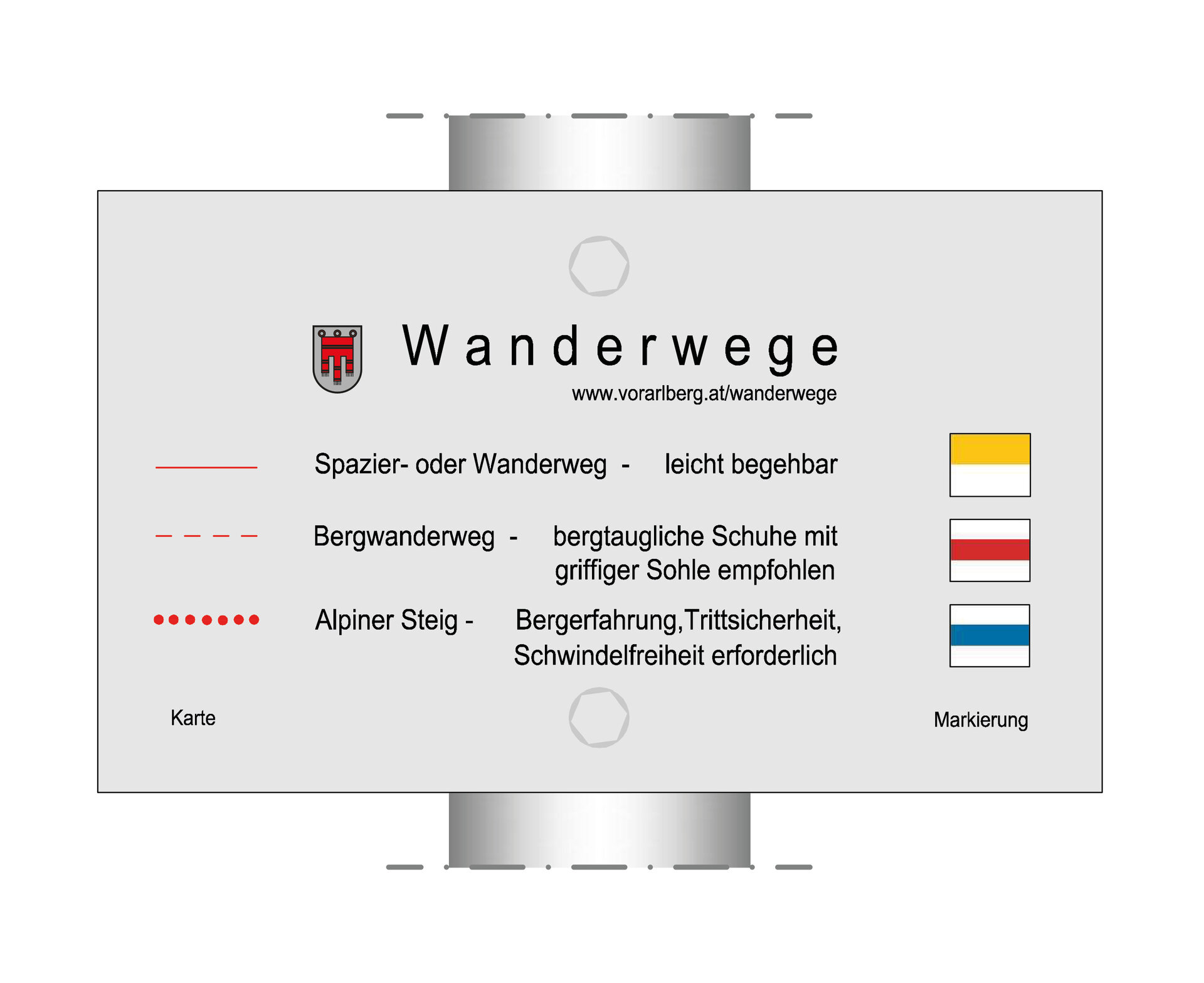
The Montafon Verwall Circuit is a challenging multi-day hike that requires excellent physical conditioning. For this hike, we recommend sturdy, ankle-high hiking boots with good traction, plenty of food and drinking water, and weather-appropriate clothing. Hiking poles can help you on the ascents and descents.
Camping is not permitted in the Verwall European Nature Reserve. Overnight stays should therefore be made at the designated mountain huts.
The Neue Heilbronner Hütte is regularly fully booked due to high demand. Therefore, be sure to book your spot well in advance directly with the hut.
Tips
For the first section of the first stage, we recommend taking the "Hinteres Silbertal" hiking bus. This shortens the hike by 8 kilometers, or 2.5 hours. There is a fee for the hiking bus, and reservations must be made in advance. You can find more information HERE.
Sicherheitstipps für Wandern in Vorarlberg
EN NOTRUF:
EN 140 - Alpine Notfälle österreichweit
EN 144 - Alpine Notfälle Vorarlberg
EN 112 - Euro-Notruf (funktioniert mit jedem Handy/Netz)