Montafon hut circuit | Lindauer Hut to Totalp Hut

Tour description
An impressive high-altitude hike through the Rätikon mountains, past the striking Three Towers and the Swiss Gate to the turquoise-blue Lünersee and on to the Totalphütte.
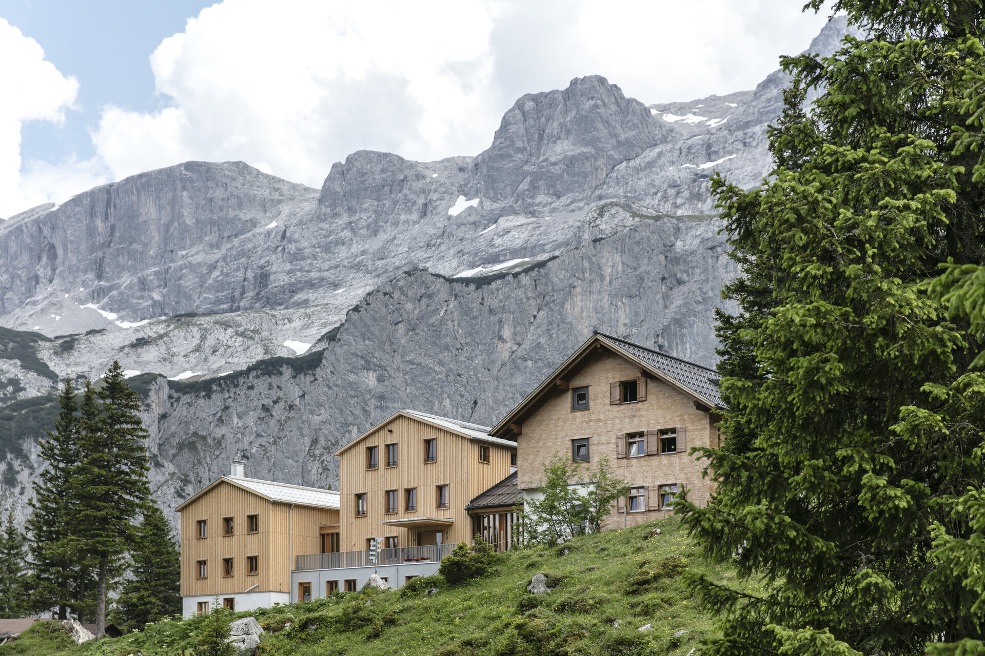
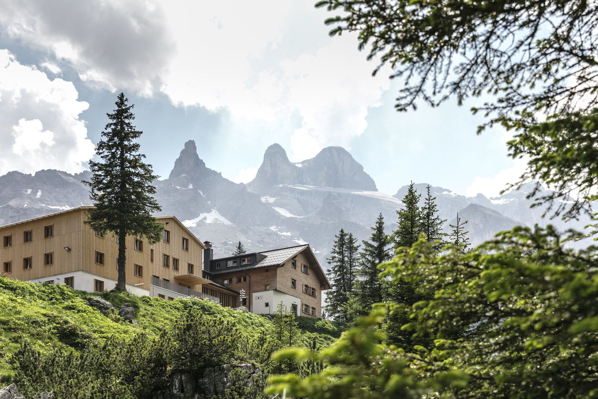
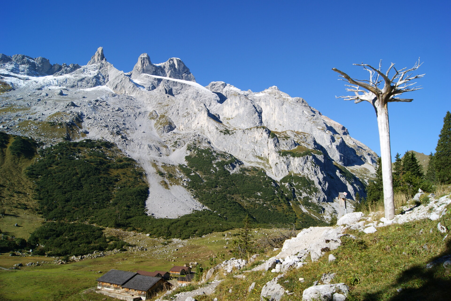
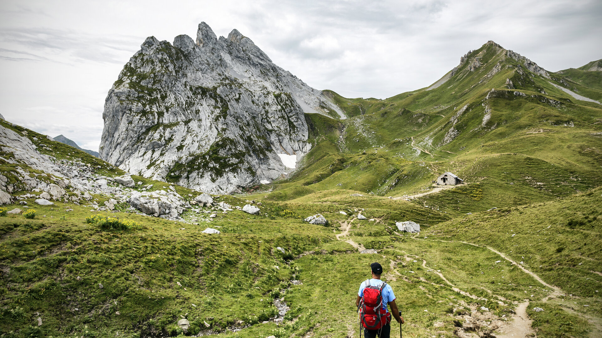
This stage takes you through the high-alpine landscape of the Rätikon and offers breathtaking views of the striking limestone formations around the Drei Türme and Drusenfluh. The Schweizer Tor and the Kirchlispitzen are special geological and mountaineering highlights along the route.
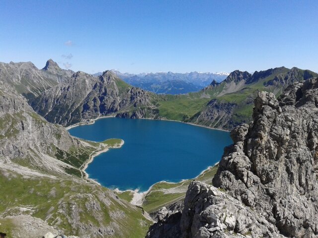
As you descend from the Verajoch, the Lünersee comes into view. The turquoise-colored mountain lake provides a striking contrast to the rugged mountain landscape of the Rätikon before the final ascent to the Totalphütte begins.
What is the Montafon Alpine Mosaic?
The Alpenmosaik Montafon brings the region’s scenic diversity to life. The four exploration areas—Verwall, Silvretta, Rätikon, and the valley—offer different perspectives on nature, the landscape, and culture.
You can find more information about the Montafon Alpine Mosaic HERE.
Starting Point - Directions - End Point
Starting Point
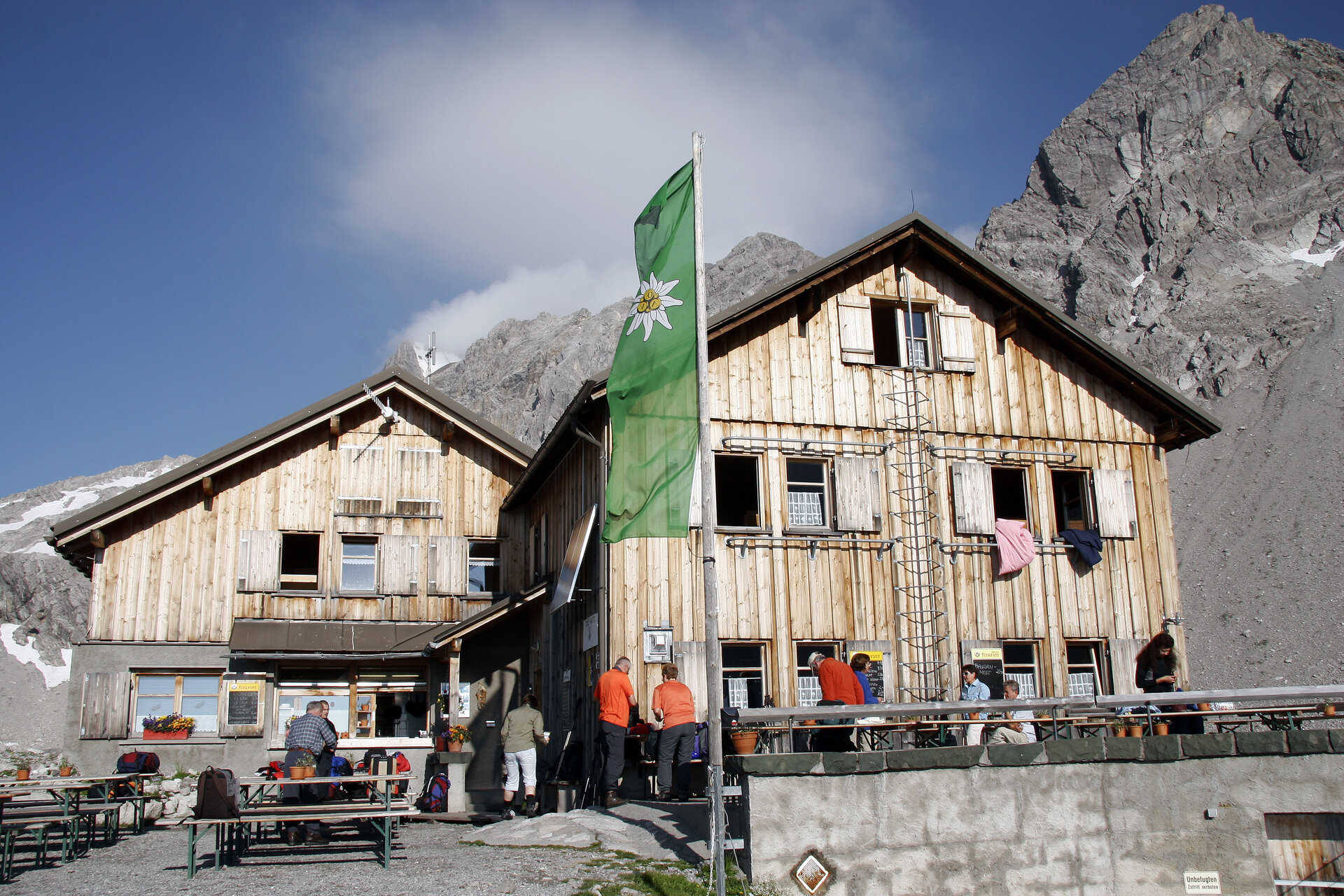
Lindauer Hut
Route Description
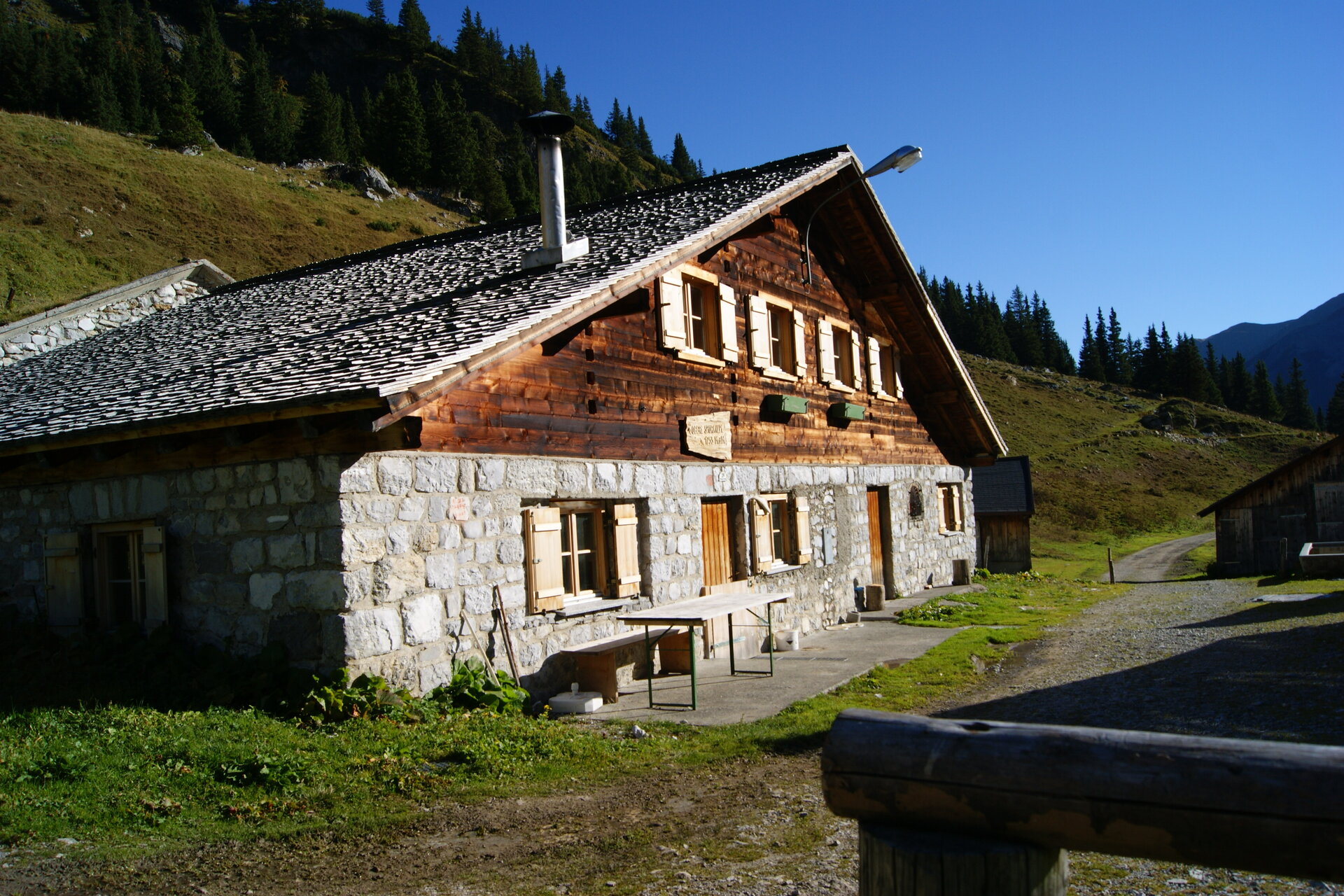
From the Lindauer Hütte, the trail first takes you to the nearby Sporaalpe. At the foot of the limestone peaks Drei Türme and Drusenfluh, the trail continues toward Lünersee. After climbing about 450 meters in elevation—or about 1.5 hours—you’ll reach the Öfen Pass. About 30 minutes later, you’ll reach the Schweizer Tor with its old customs house. To the right of it lie the Kirchlispitzen, which are well-known among sport climbers.
The trail then leads uphill again to the Verajoch at 2,323 meters. During the descent, a view of Lünersee soon opens up. At the Lünersee-Alpe, turn left and follow the trail. After about 500 meters, past a mountain stream, the final ascent to the Totalphütte begins. From the Lünersee-Alpe, you’ll reach the hut in about 1.5 hours.
End Point
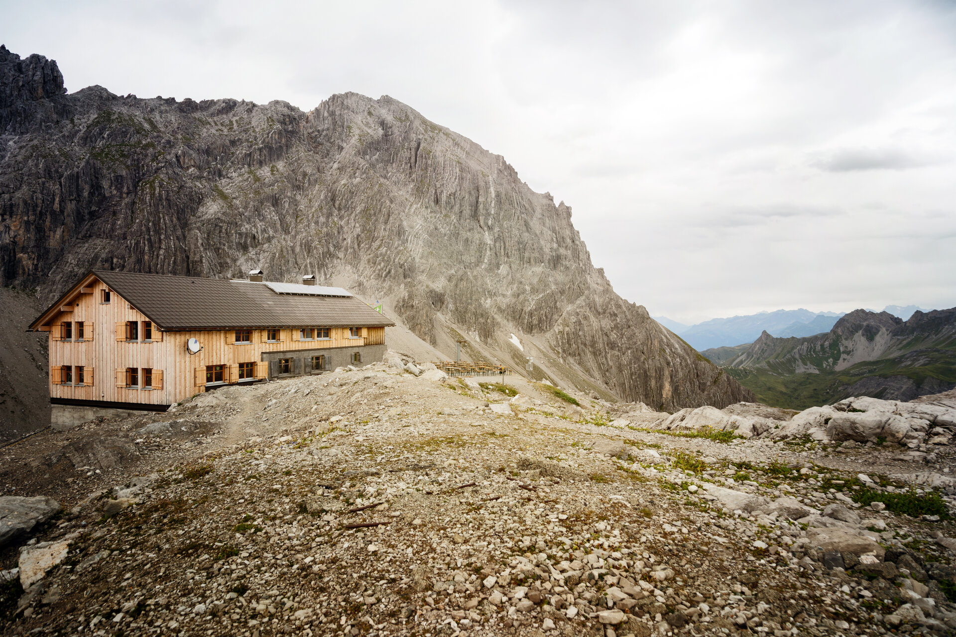
Totalphütte
Getting to the starting point
Getting to the Starting Point
The starting point for the tour is the Lindauer Hütte.
By public transportation:
The Montafon regional bus and the Montafonerbahn provide convenient and flexible travel throughout the valley. Trains and buses run regularly between the towns, every half hour or every hour depending on the route. You can find the right connection HERE. The bus stop for the Lindauer Hütte is Latschau Golmerbahn. From there, the rest of the way to the Lindauer Hütte is on foot.
By car:
Take the A14 to the Bludenz/Montafon exit, then follow the Montafonerstraße L188 to Tschagguns. From there, you’ll reach Latschau and the mid-station of the Golmerbahn. Parking is available at the Golmerbahn. For a multi-day tour, you can also park your car in the underground garage at the Löwen Hotel in Schruns for up to one week. For parking longer than one week, please contact the Löwen Hotel at +43 5556 7141 or reservierung@loewen-hotel.com.
Important Information
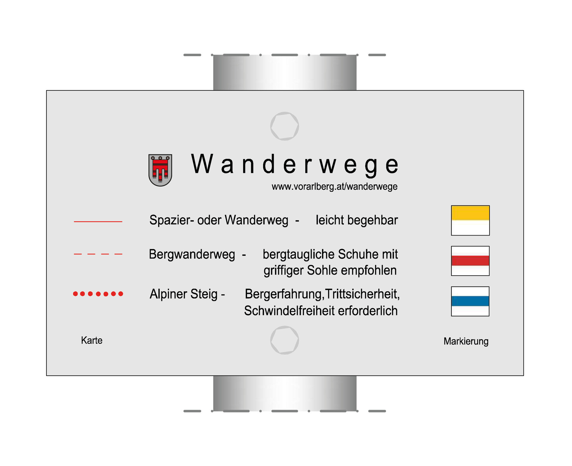
This tour takes you through high-alpine terrain. We recommend that you wear sturdy shoes and clothing appropriate for the weather.
Tips
Right next to the Lindauer Hütte is the Alpine Botanical Garden, which celebrated its 100th anniversary in 2007.
Due to high demand at the huts, we recommend that you reserve accommodations well in advance directly with the respective huts.
Sicherheitstipps für Wandern in Vorarlberg
EN NOTRUF:
EN 140 - Alpine Notfälle österreichweit
EN 144 - Alpine Notfälle Vorarlberg
EN 112 - Euro-Notruf (funktioniert mit jedem Handy/Netz)