Montafon Hut Circuit | Wiesbadener Hut to Saarbrücker Hut

Tour description
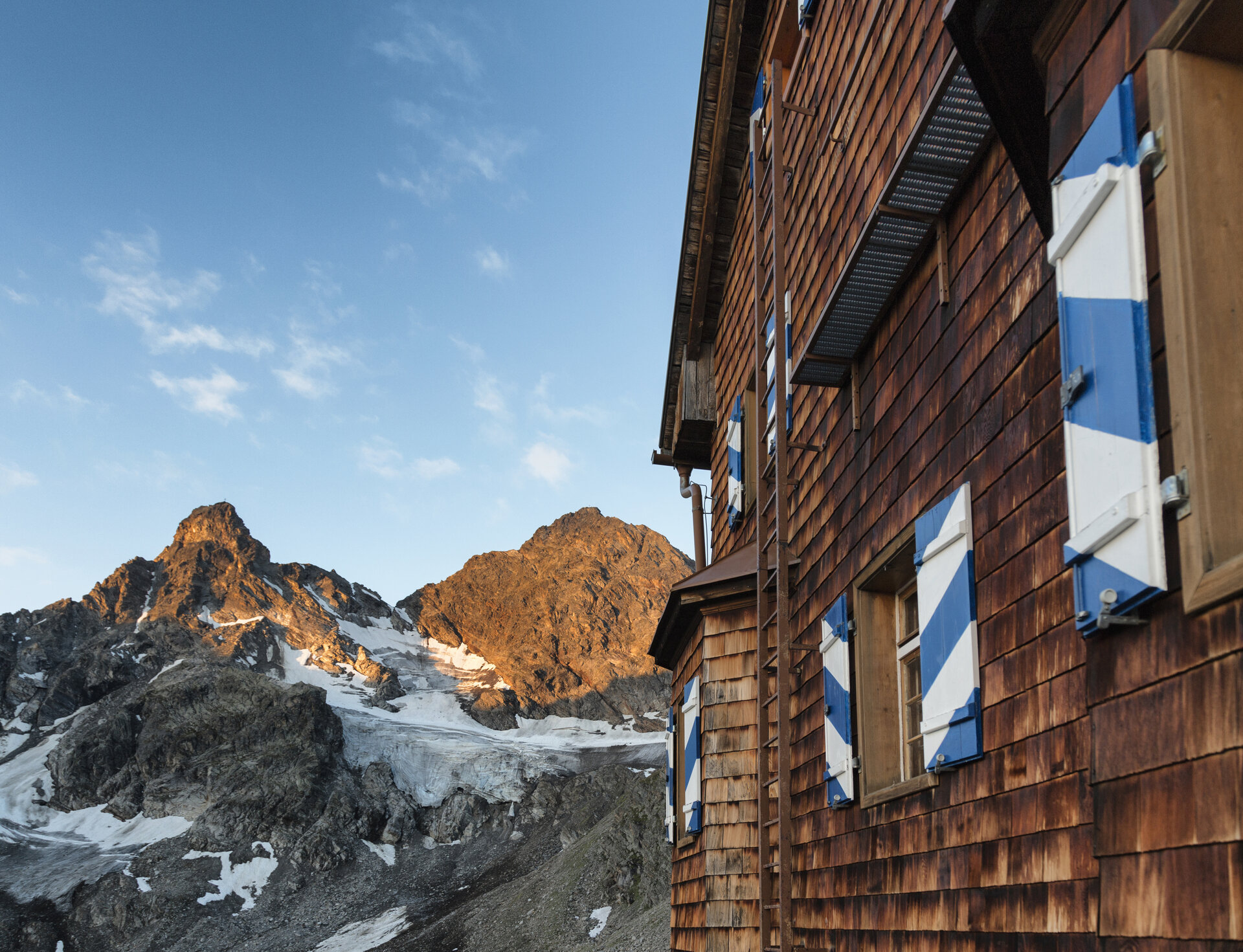
A high-alpine stage of the Montafon Hut Circuit from the Wiesbadener Hut to the Saarbrücker Hut, where the glacial landscape of the Silvretta accompanies you along much of the route.
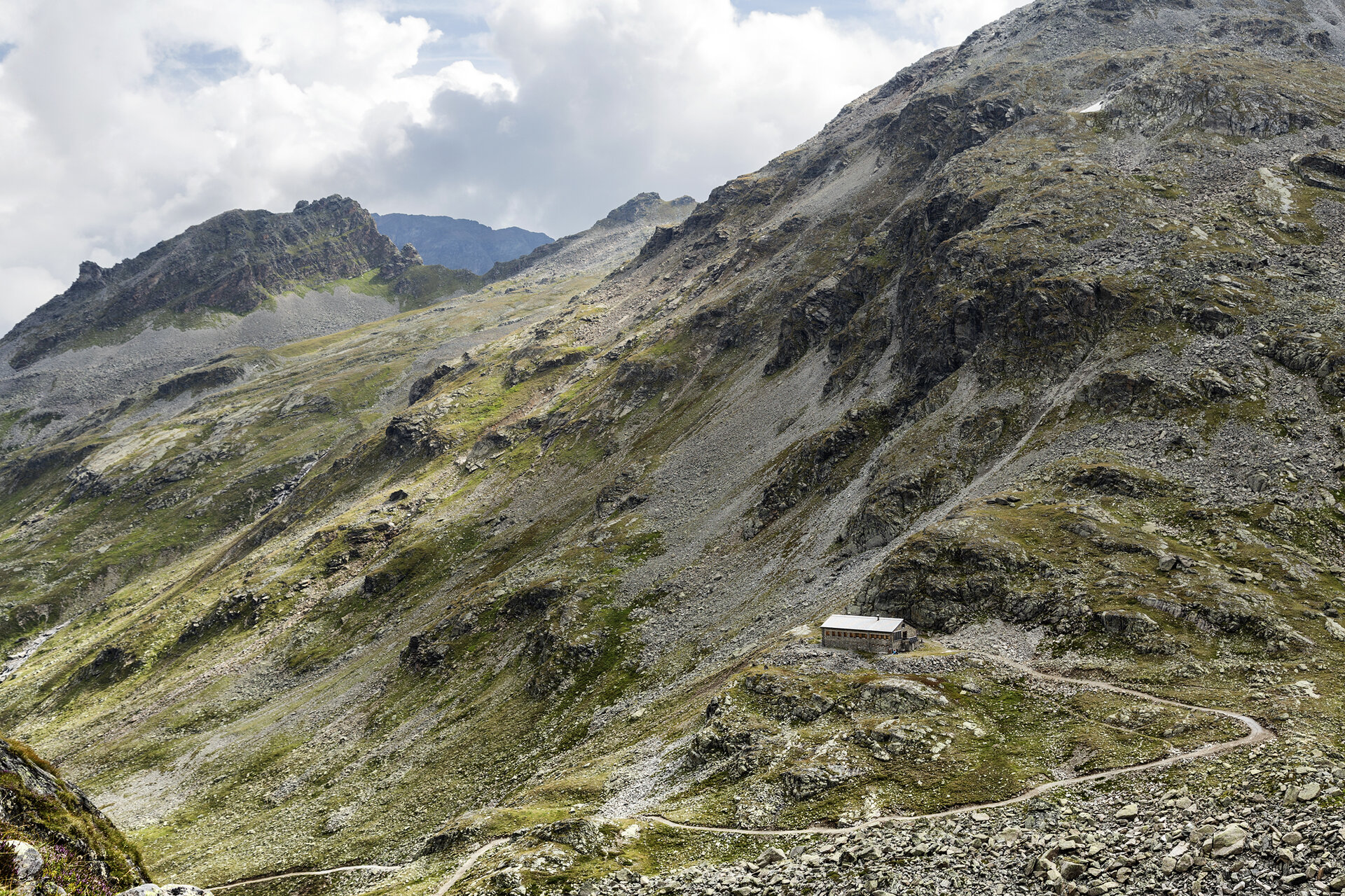
This stage winds through the impressive high-mountain landscape of the Silvretta and connects the Ochsental Valley with the Klostertal Valley. Along the way, there are frequent views of the surrounding peaks and glaciers that define the character of this alpine landscape.
Passing through the Verhupftäli and the Litzner Sattel, the route takes you along a more challenging section to the Saarbrücker Hütte. Sure-footedness is particularly important on the ascent through the Verhupftäli.
What is the Montafon Alpine Mosaic?
The Alpenmosaik Montafon brings the region’s scenic diversity to life. The four exploration areas—Verwall, Silvretta, Rätikon, and the valley—offer different perspectives on nature, the landscape, and culture.
You can find more information about the Montafon Alpine Mosaic HERE.
Starting Point - Directions - End Point
Starting Point
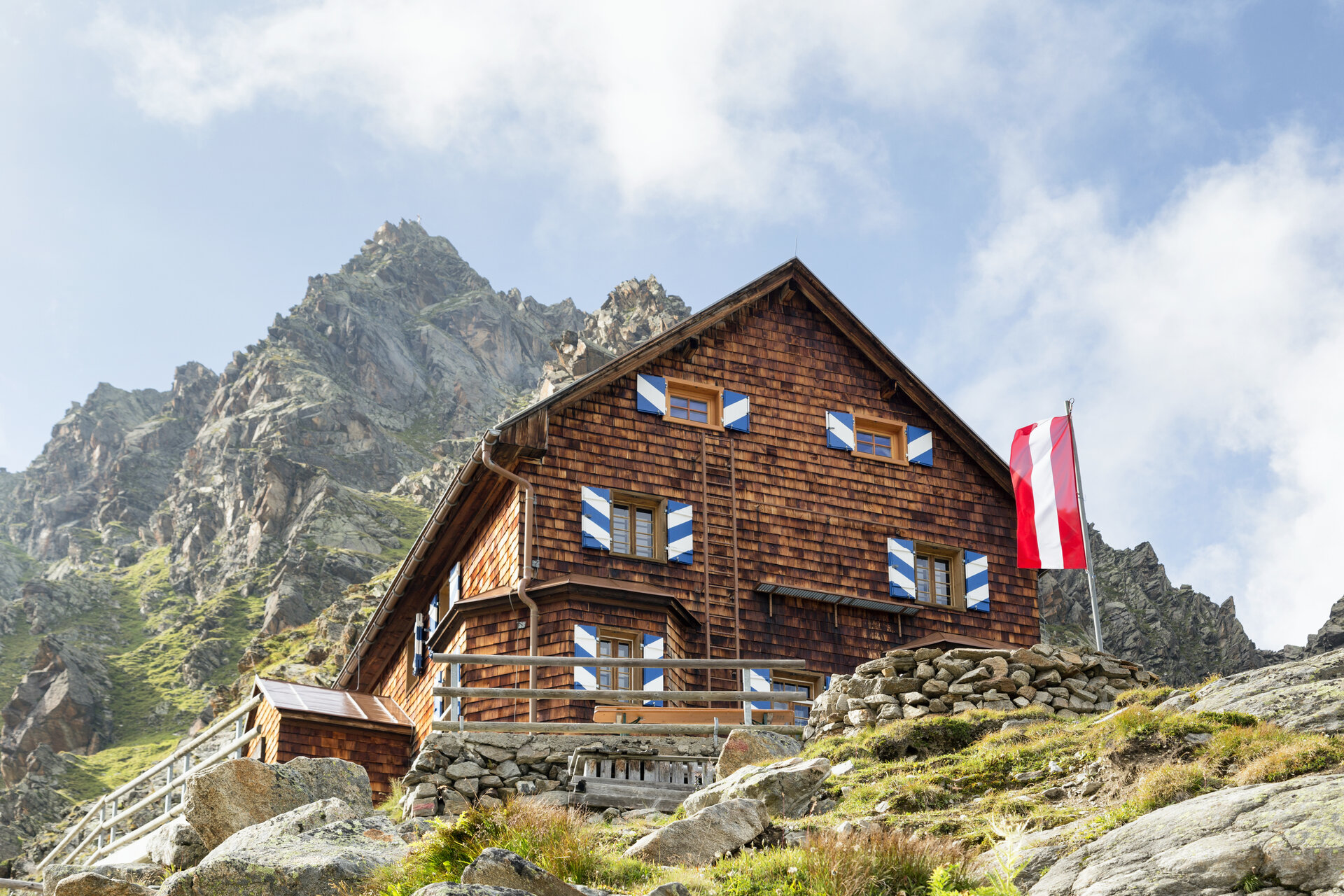
Wiesbadener Hütte
Directions
From the Wiesbadener Hütte, the farm road first takes you through the Ochsental valley toward Silvrettasee. At the confluence with the Ill, turn left and then left again shortly afterward toward Klostertal and the Saarbrücker Hütte.
After about an hour, the trail branches off to the right across the Klostertaler Bach into the Verhupftäli. From there, the trail continues uphill to the Litzner Sattel. Sure-footedness is required on this section.
From the Litzner Sattel, you’ll reach the Saarbrücker Hütte in about 50 minutes.
End Point
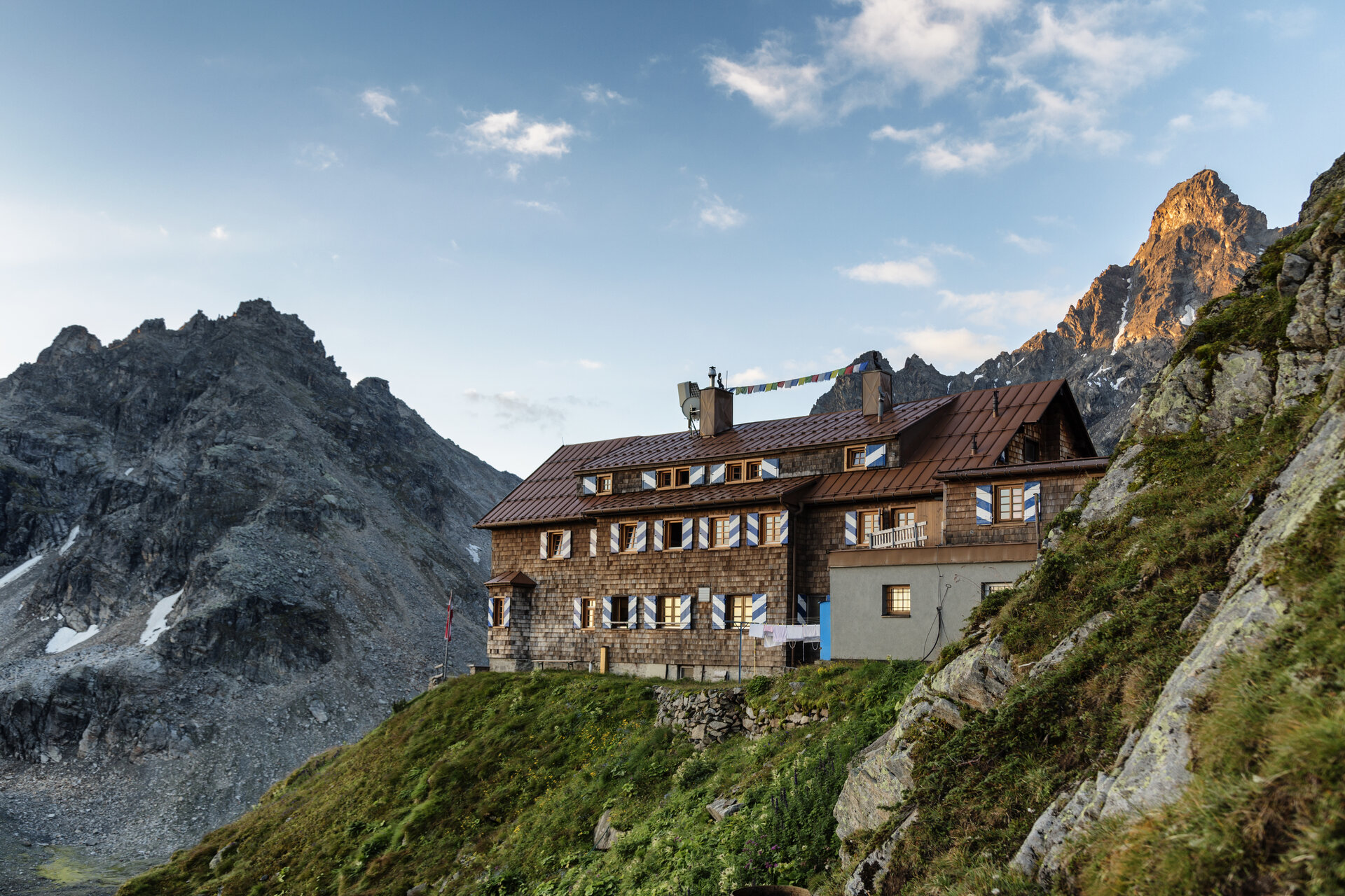
Saarbrücker Hütte
Getting to the starting point
Getting to the Starting Point
The starting point for the tour is the Wiesbadener Hütte.
Important note regarding travel:
The Silvretta High Alpine Road is expected to remain closed until summer 2030. In the summer, you cannot reach the Bielerhöhe directly from the Montafon via the High Alpine Road; instead, you must take the Vermuntbahn from Partenen and then transfer to the tunnel bus. You can find more information HERE.
By public transportation:
The Landbus Montafon and the Montafonerbahn offer a convenient and flexible way to get around the valley. Trains and buses run regularly between the towns, every half hour or every hour depending on the route. You can find your ideal connection HERE. The nearest bus stop is Partenen Bergbahnen. From there, you can take the Vermuntbahn and the connecting tunnel bus to Silvretta-Bielerhöhe. The rest of the way to the Wiesbadener Hütte is on foot.
By car:
Take the A14 to the Bludenz/Montafon exit, then follow the Montafonerstraße L188 to Partenen. Parking is available at the Vermuntbahn valley station. From there, take the Vermuntbahn and the connecting tunnel bus to Silvretta-Bielerhöhe. The rest of the hike to the Wiesbadener Hütte is on foot.
Important Information
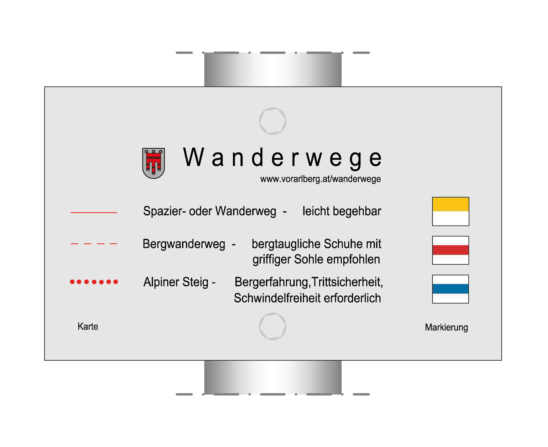
Alpine Trail: The trail may include safety ropes and handholds.
This hike requires surefootedness. Sturdy footwear, a rain jacket, and gloves are highly recommended.
Tips
Due to high demand at the huts, we recommend that you reserve sleeping accommodations early and directly with the respective huts.
Sicherheitstipps für Wandern in Vorarlberg
EN NOTRUF:
EN 140 - Alpine Notfälle österreichweit
EN 144 - Alpine Notfälle Vorarlberg
EN 112 - Euro-Notruf (funktioniert mit jedem Handy/Netz)