Gaglaweg Gaschurn

Easy
Familienfreundlich
Gaglawege
Kinderwagentauglich
Rundtour
Themenweg · Hiking · Gaglawege (children hikes) · Round trip · Family-friendly · Suitable for prams · Gaschurn
02:30 h duration
4,70 km Length in km
1057 m Highest point
964 m Lowest point
114 m gain Ascent
114 m gain Descent
Stamina
Skill
Difficulty

Tour description

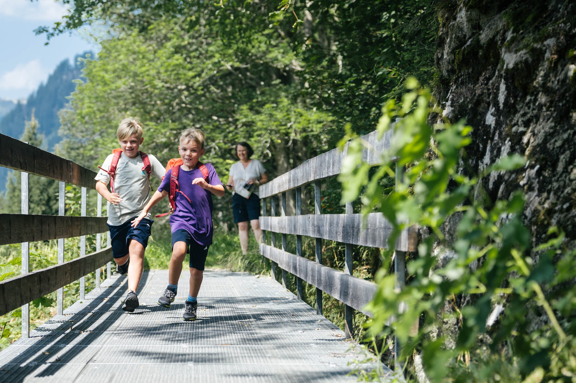
Join Erna as she takes you on a journey through the alpine history of the Gaschurn region and enjoy breathtaking views of the Silvretta’s glaciers and mountain peaks.

The high-alpine world of the Silvretta lies almost right on Gaschurn’s doorstep. Glaciers, majestic peaks, and the 3,312-meter-high Piz Buin—Vorarlberg’s highest mountain—shape not only the landscape but also the history of mountaineering. For generations, this unique mountain world has drawn people who want to explore it, understand it, and experience it from new perspectives.

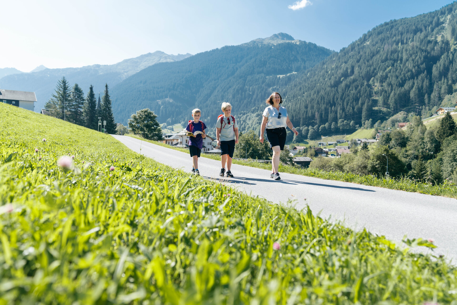
On the Gaglaweg, you’ll accompany Erna through Gaschurn and discover historic buildings, scenic spots, and traces of the region’s mountaineering history. Along the way, you’ll get to know the town, nestled between a traditional cultural landscape and the high-Alpine mountain world.

What is a Muntafuner Gaglaweg?

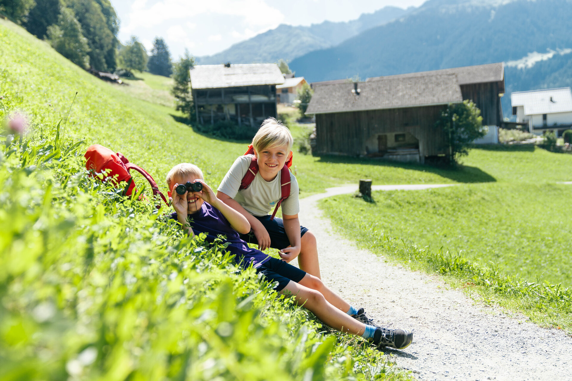
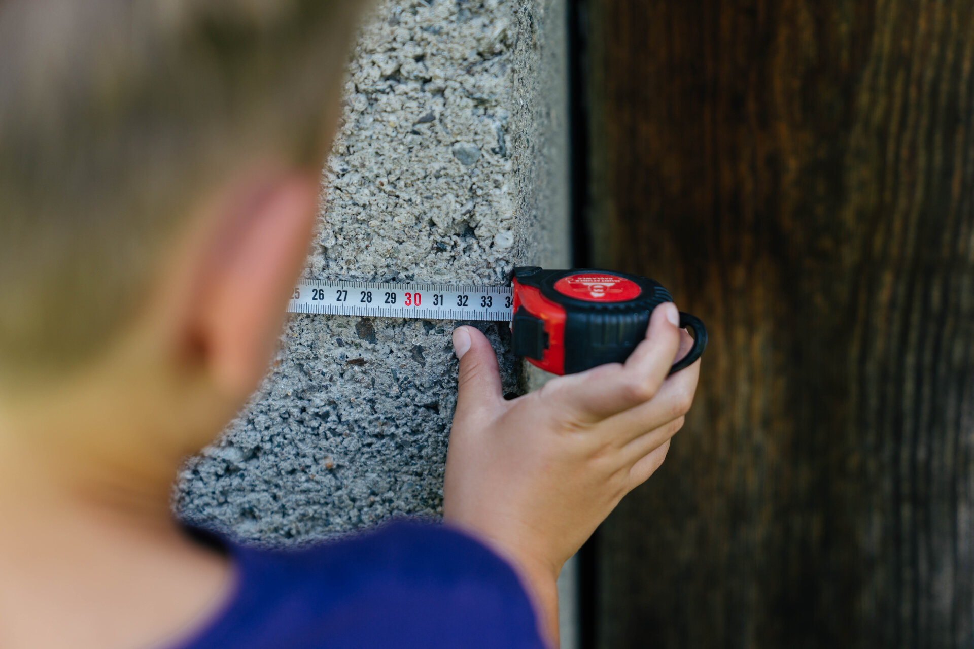
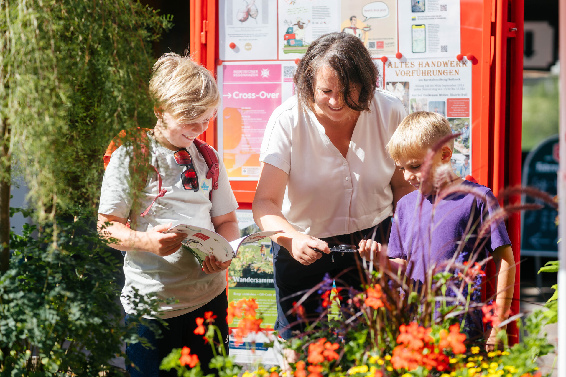
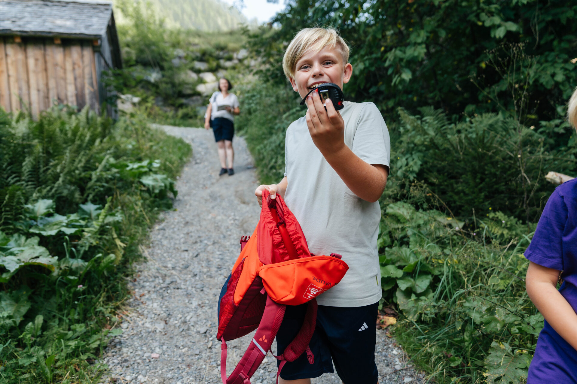
In the Montafon dialect, “Muntafuner Gaglaweg” means something like “Montafon Children’s Trail.” For your adventure, you’ll need the Gaglaweg backpack. You can rent one for a deposit at one of our tourist information offices or citizen service centers. Inside, you’ll find everything you need for your hike.
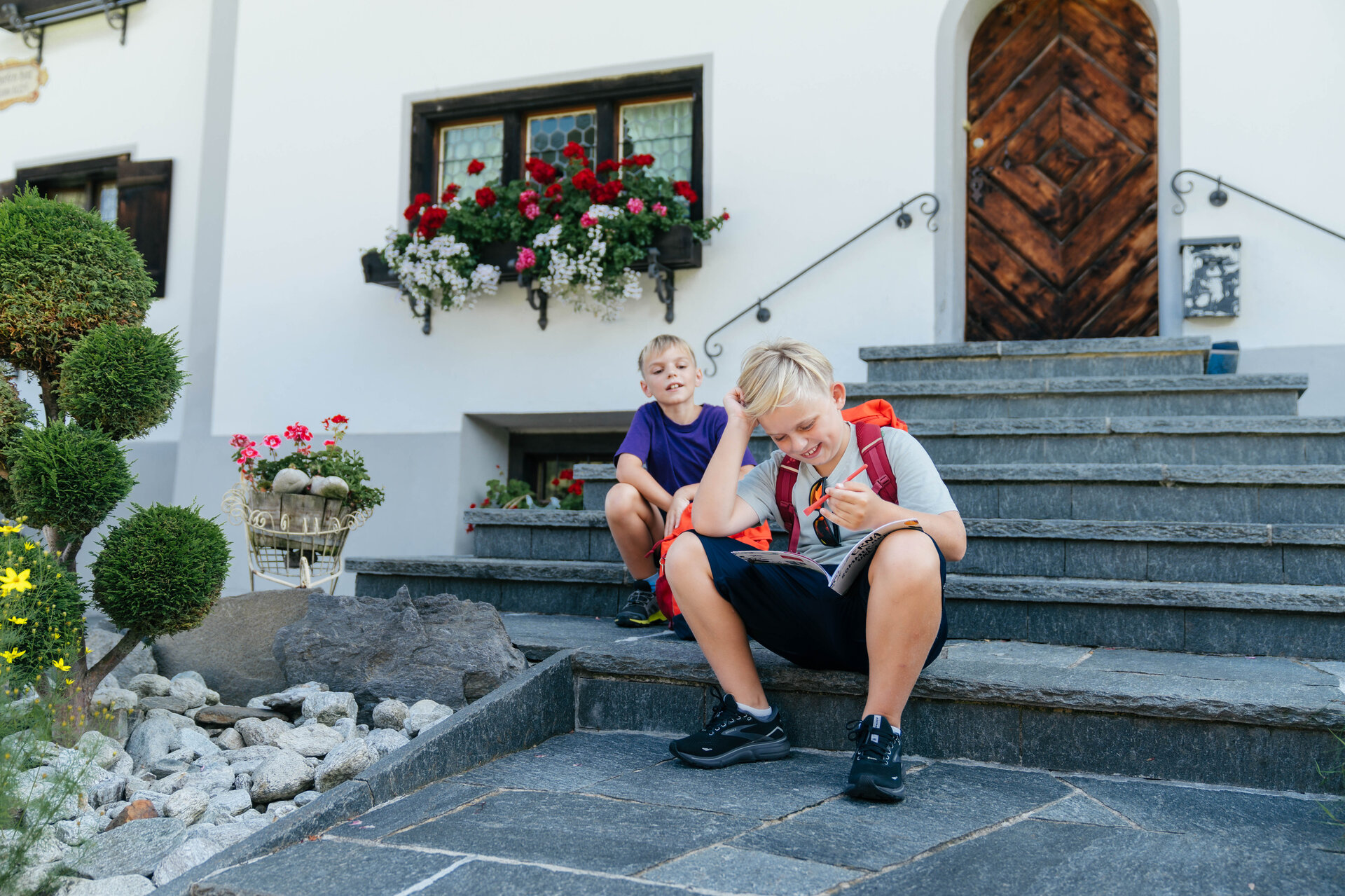
A unique puzzle awaits you on every Gaglaweg trail. Once you’ve solved it, you’ll receive a small gift. You can also purchase one of eleven Erna souvenir jars at a special price of €4.00. Each trail is dedicated to a different theme and takes you through the diverse landscape of the Montafon.
So: Grab your backpack, join Erna, and set off on a journey of discovery together.
You can find more information about our Muntafun Gagla Trails HERE.

Starting Point - Directions - End Point

Starting Point
Gaschurn Tourist Information

Directions
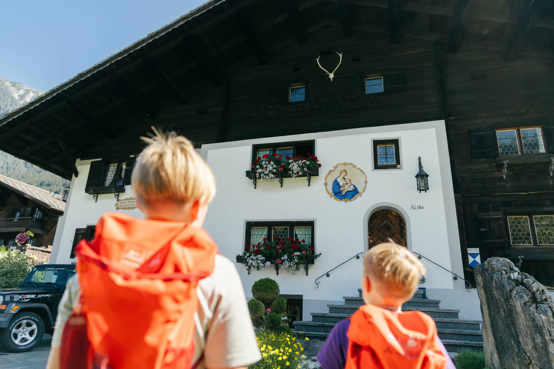
From the Tourist Information Office in the center of Gaschurn, you’ll first hike out of the valley. At the intersection, keep slightly to the right and follow the ascending road toward Außerbach. Passing the approximately 400-year-old Lucas-Tschofen House, the trail takes you across the road and along a hiking path to the Valschavielbach stream.

Then continue hiking to Obere Gosta and from there back into the valley toward the center of Gaschurn. Follow the trail toward Rifa and hike above the village to the Richardsruhe viewpoint. Here, you’ll be treated to another view of Gaschurn and the surrounding mountains.

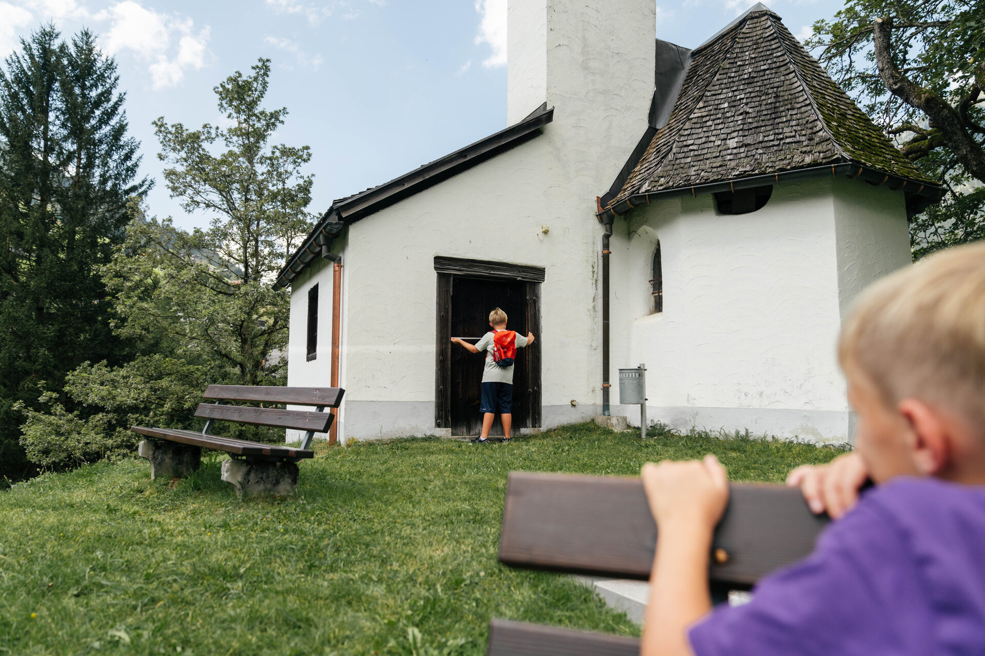
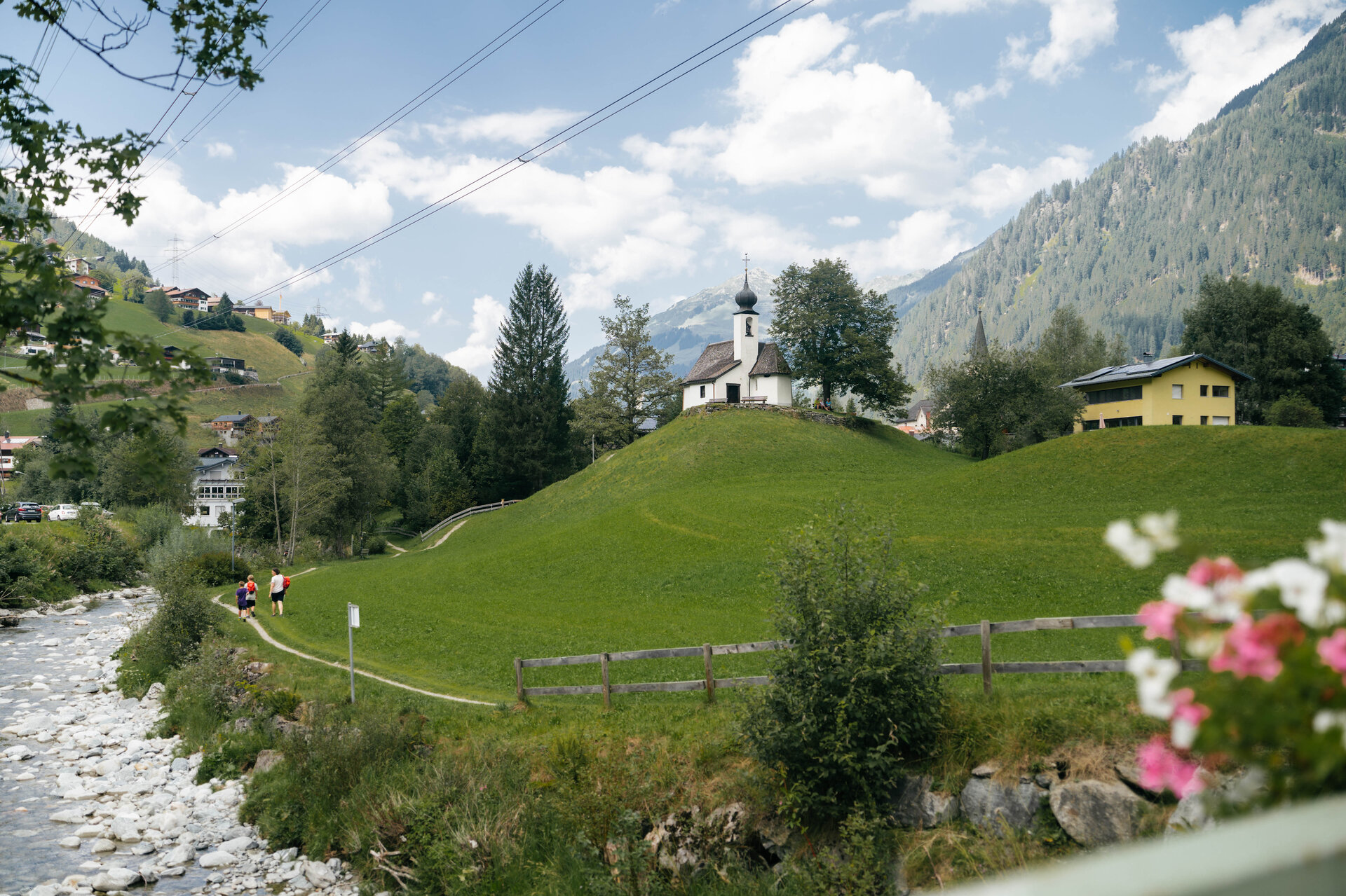
At the end of Rifastraße, cross the federal highway and follow the road on the opposite side to the left, heading uphill toward Untertrantrauas. Then leave the road and continue along the trail toward the center of Gaschurn. After crossing the main road again, walk across the bridge to the Maria Schnee Chapel.

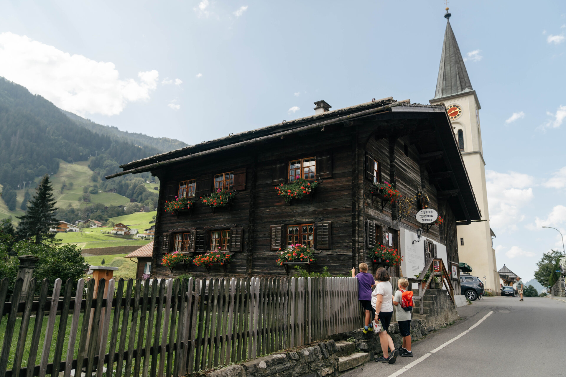
From there, the trail leads you back toward the town center. On your left, you’ll see the Alpine and Tourism Museum in the former early-morning chapel. Just a few meters further on, next to the Gaschurn parish church, stands the last surviving dance pavilion in the Montafon. After a few steps down the valley, you’ll reach your starting point again.

End Point
Gaschurn Tourist Information

Getting to the starting point

Getting to the Starting Point
The starting point for the tour is the Gaschurn Tourist Information Office
By public transportation:
With the Montafon regional bus and the Montafonerbahn, you can get around the valley comfortably and flexibly. Trains and buses connect the towns regularly, every half hour or every hour depending on the route. You can find the right connection HERE. Bus stop at the start/end of this tour: Gaschurn Center

By car:
Take the A14 to the Bludenz/Montafon exit. Then follow the Montafonerstraße L188 to Gaschurn. Parking is available right next to the Gaschurn municipal office and in the school parking lot across from the Versettlabahn.

Sicherheitstipps für Wandern in Vorarlberg

EN NOTRUF:

EN 140 - Alpine Notfälle österreichweit 

EN 144 - Alpine Notfälle Vorarlberg 

EN 112 - Euro-Notruf (funktioniert mit jedem Handy/Netz) 

Properties
Route type Themenweg, Hiking, Gaglawege (children hikes), Round trip, Family-friendly, Suitable for prams
Difficulty Easy
Start Tourism information Gaschurn
Finish Tourism information Gaschurn
Elevation profile
Best months
Jan
Feb
Mar
Apr
May
Jun
Jul
Aug
Sep
Oct
Nov
Dec