Saarbrückner Hut Hike—via Kops

Difficult
(E-)Mountainbiken · St. Gallenkirch
08:30 h duration
82,0 km Length in km
2529 m Highest point
817 m Lowest point
2600 m gain Ascent
2600 m gain Descent
Stamina
Skill
Difficulty
Adventure
Scenery

Tour description

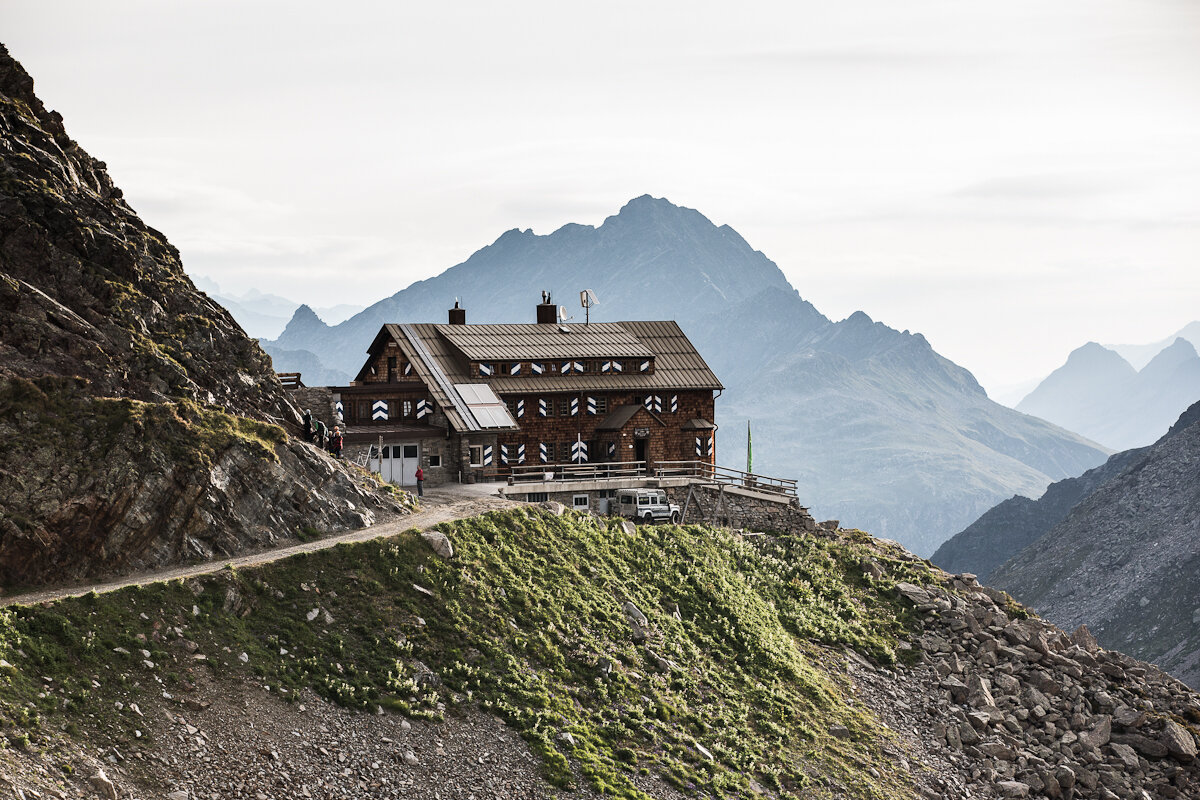
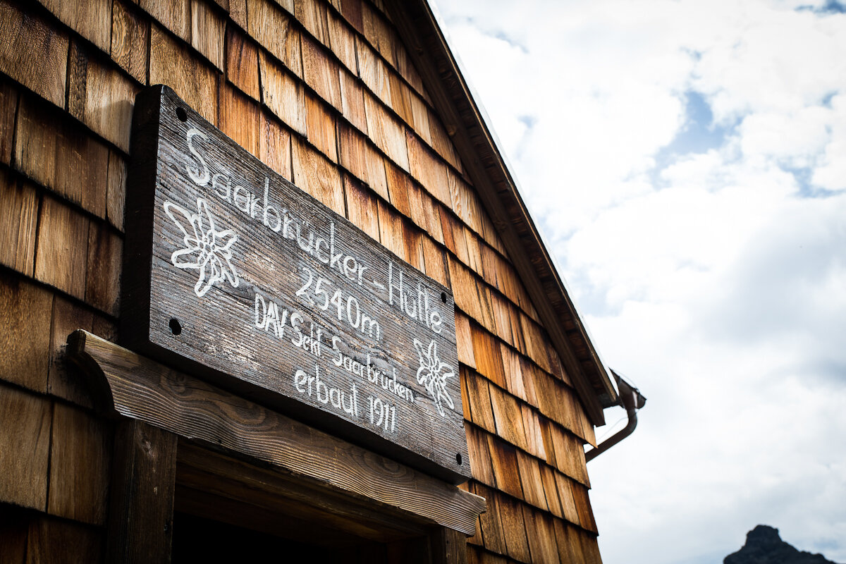
A challenging mountain bike tour to the highest-altitude staffed mountain hut in the Montafon, where a breathtaking panoramic view of the Silvretta peaks awaits you.

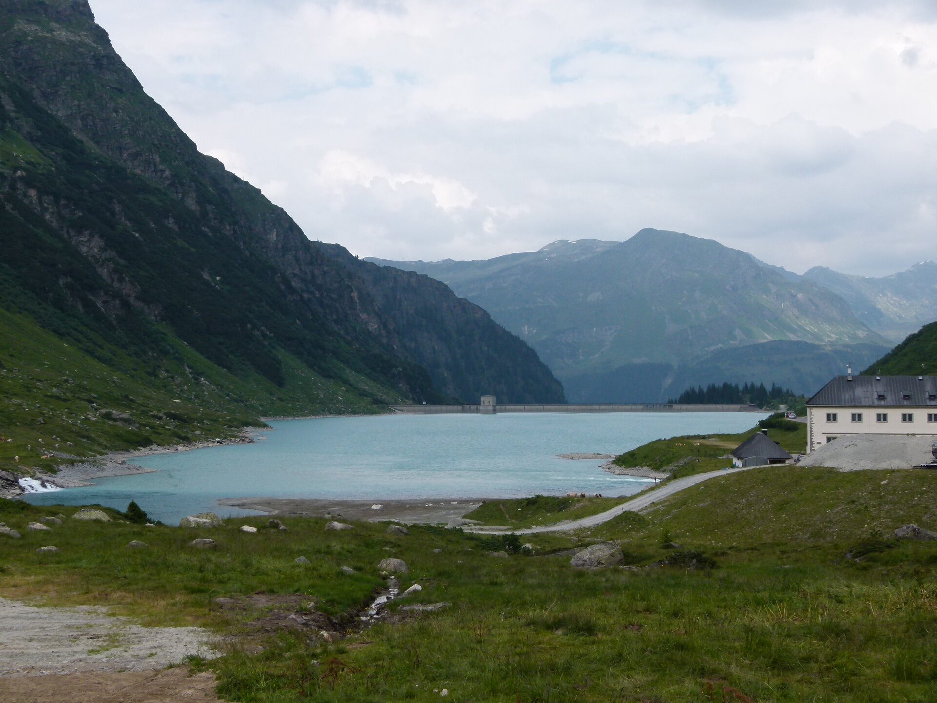
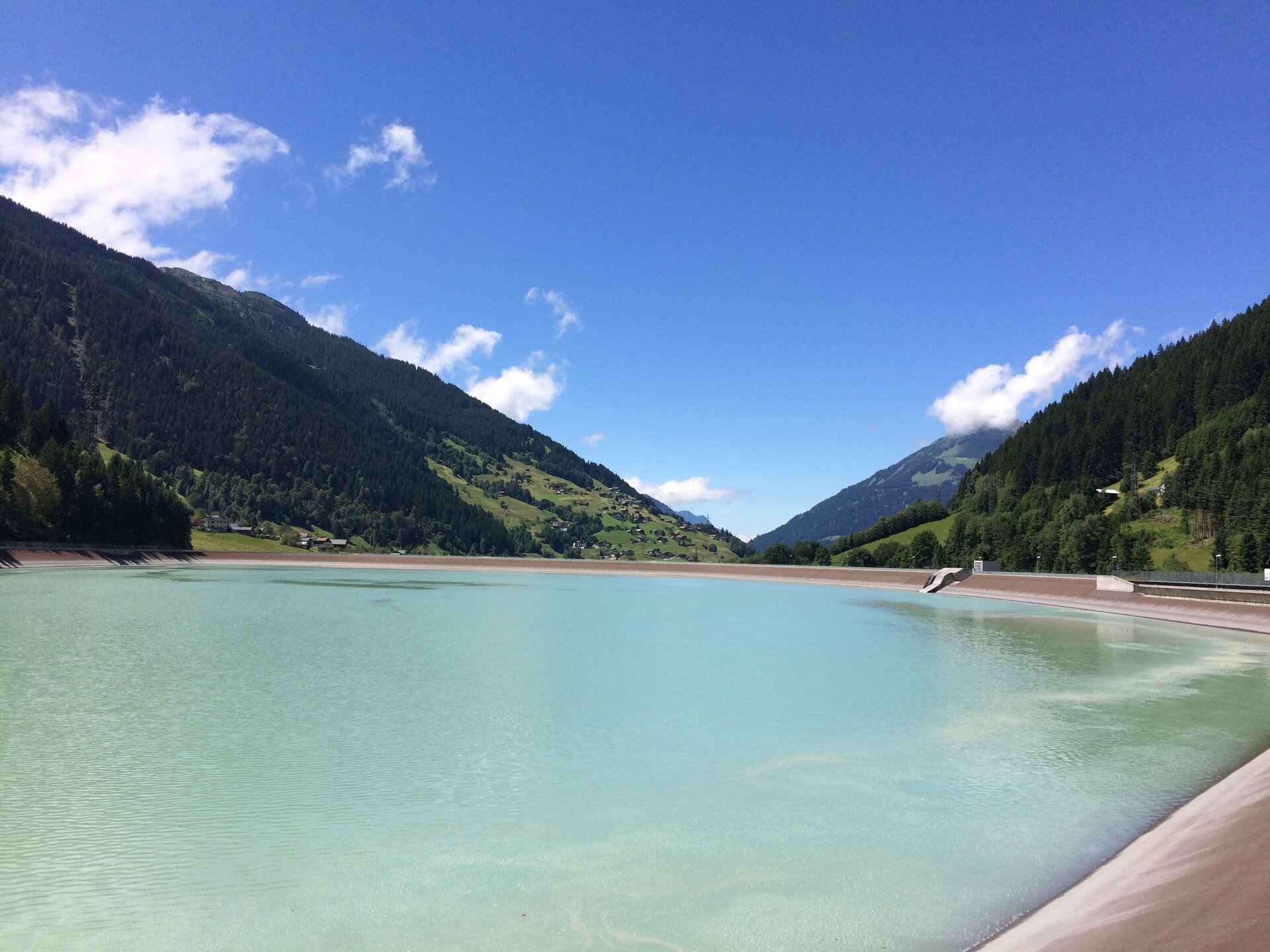
Starting at Silvretta Park Montafon in St. Gallenkirch, the tour takes you through Partenen and the Ganifertal valley to the Kops Reservoir, then on through Galtür and past Lake Silvretta toward Lake Vermunt. The final climb to the Saarbrücker Hütte—with its coarse gravel and gradients of up to 20 percent—requires stamina, balance, and confident riding skills, but rewards you with sweeping views of the Silvretta massif.

(E-)Bike Transport to the Silvretta-Bielerhöhe

As an alternative to the ascent via the Ganifertal valley and the Kops Reservoir, you can have your (e-)bike transported from Partenen to the Silvretta-Bielerhöhe at 2,032 meters via the Vermuntbahn and the tunnel bus. Bike transport is available only for the ascent and must be reserved online in advance, as only a limited number of bikes can be transported per time slot. The return trip to the Montafon is made by bike via Galtür, the Kops Reservoir, and the Ganifertal.

You can find all information on transport times, requirements, prices, and booking here: Bike Transport Silvretta-Bielerhöhe

Starting Point - Directions - End Point

Starting Point
Silvretta Park Montafon, Valisera Cable Car valley station in St. Gallenkirch

Directions
Silvretta Park Montafon – Gaschurn – Partenen – Silvretta High Alpine Road toll booth – Ganifertal – Kops Reservoir – Zeinisjoch – Galtür – Silvretta Lake – Vermunt Lake – Saarbrücker Hut. Return via the same route.

End point
Silvretta Park Montafon, Valisera Cable Car Valley Station in St. Gallenkirch

Important Information

The Silvretta High Alpine Road is expected to remain closed until summer 2030. This is due to several rockfalls and mudslides that have occurred since 2024, as well as the extensive construction and protective measures required as a result. Access to the Silvretta region is therefore currently via the Ganifertal Valley, the Kops Reservoir, and Galtür.

The climb from Lake Vermunt to the Saarbrücker Hütte runs partly over very coarse gravel and features gradients of up to 20 percent. Good physical conditioning and confident riding skills are required for this section.

Tips

Be sure to allow enough time for a break at the Saarbrücker Hütte and enjoy the panoramic view of the surrounding peaks of the Silvretta. If you’d like to extend your mountain adventure, you can combine the mountain bike tour with an overnight stay at the hut and experience the sunrise high above the valley.

After the demanding ascent, regional hut dishes like beef soup or Kaiserschmarren taste especially good. The scenic descent back down into the valley also makes the tour an intense experience that blends athletic challenge with high-alpine scenery.

Sicherheitstipps für Mountainbike in Vorarlberg

NOTRUF:

140 Alpine Notfälle österreichweit 

144 Alpine Notfälle Vorarlberg 

112 Euro-Notruf (funktioniert mit jedem Handy/Netz) 

Properties
Route type (E-)Mountainbiken
Difficulty Difficult
Start Silvretta Park
Finish Silvretta Park
Elevation profile
Best months
Jan
Feb
Mar
Apr
May
Jun
Jul
Aug
Sep
Oct
Nov
Dec