Via Alpina - Montafon - Gargellen to Tübinger Hut

Tour description
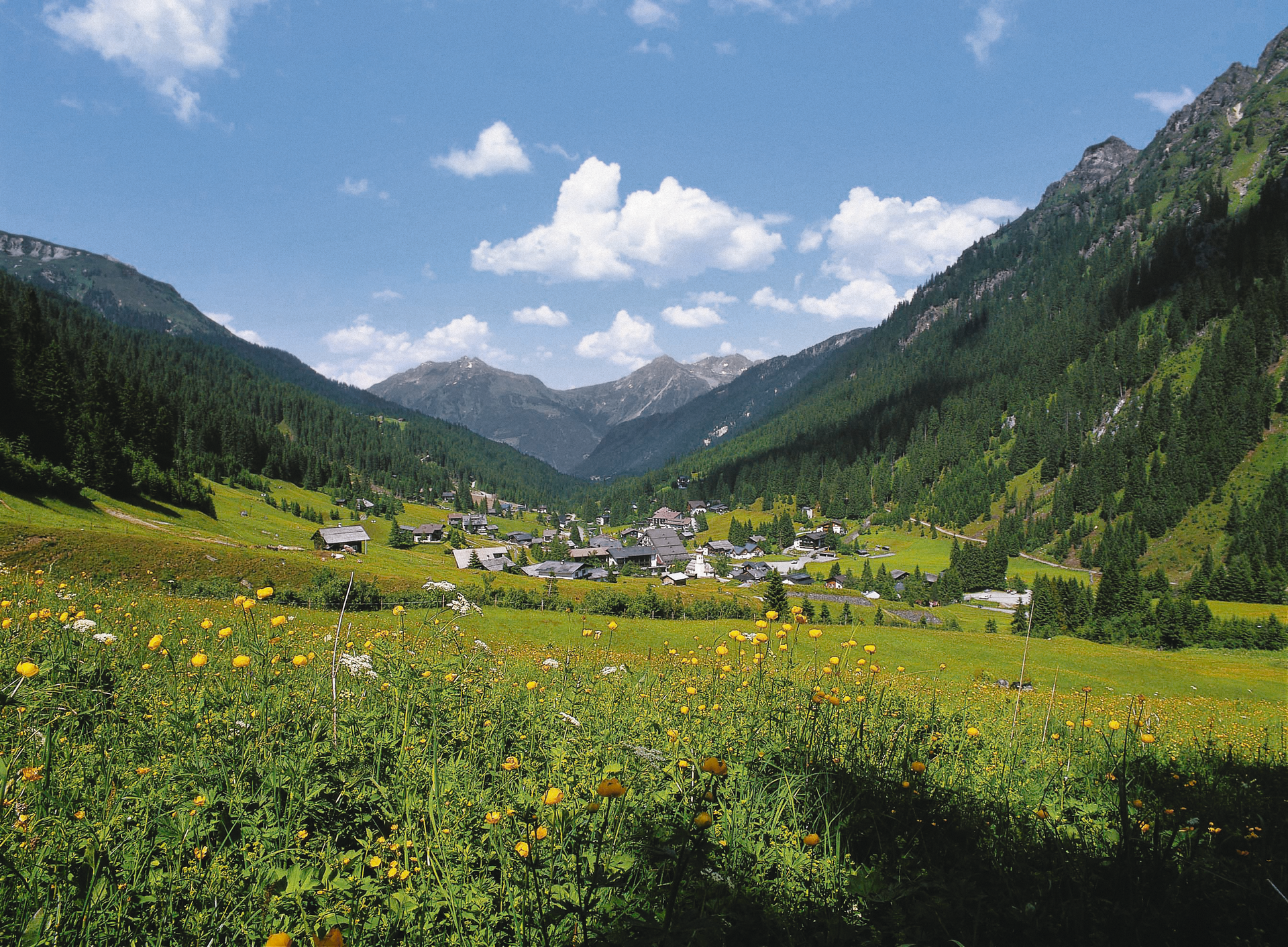
This stage of the Via Alpina takes you into high alpine terrain. You hike the demanding stage in the beautiful Silvretta Mountains.A route for mountain lovers who appreciate the natural beauty of the mountains as much as refined regional cuisine. The hiking trails lead through the varied Rätikon. The limestone of the Rätikon, in contrast to the blooming alpine meadows on the steep walls of the impressive peaks Sulzfluh, Drei Türme, and Drusenfluh, shape the character of this hut-to-hut hike. Passing by Lake Lünersee, you can experience hydropower up close, and with an overnight stay in Switzerland, you get to know Prättigau.
Important: For this demanding route, you should plan your personal daily stages and reserve the overnight stays in the huts in advance!
Directions
From the center of Gargellen (1,423m), you cross the next bridge over the Suggadinbach to the forest edge at the foot of the steeply rising Schmalzberg and hike on a farm road to the Vergaldaalp (1,820m). From there, the route continues on an alpine road with moderate inclines about one more hour valley inward. From the Rotbühel hunting hut, the mountain trail winds upwards to the 2,515m high Vergaldner Joch. Through a cirque hollow, you reach the Mittelbergjoch at 2,415m elevation. From there, it goes steeply downhill about 100 vertical meters again, then only slightly descending until you meet the path to the Garnerajoch. Here, you continue straight and reach almost level the Tübinger Hut (about 1 hour from the Vergaldner Joch).
Equipment
Weather-appropriate clothing
Sturdy footwear with good tread
Enough to drink, a snack if needed
Destination
Tübinger Hut
Starting Point
Gargellen
Sicherheitstipps für Wandern in Vorarlberg
EN NOTRUF:
EN 140 - Alpine Notfälle österreichweit
EN 144 - Alpine Notfälle Vorarlberg
EN 112 - Euro-Notruf (funktioniert mit jedem Handy/Netz)


