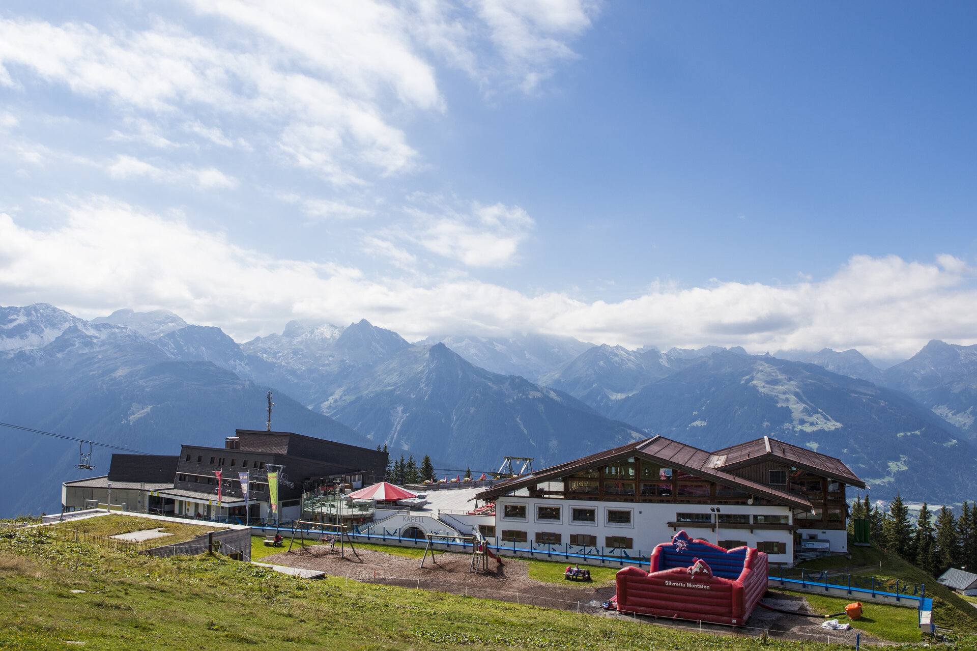
Schruns via Kropfen and forest path to Kapell

Moderate
Einkehrmöglichkeit
Mehrtagestour
Hiking · Refreshment stops · Multi-day tour
03:19 h duration
6,89 km Länge
1858 m Höchster Punkt
686 m Tiefster Punkt
1176 hm Aufstieg
13 hm Abstieg
Kondition
Schwierigkeit
Erlebnis
Landschaft

Tourbeschreibung

Kirchplatz Schruns - Kropfen - forest path - Kapellrestaurant

Approach

Drive on the A14 to the Bludenz/Montafon exit and continue on Montafonerstraße L188 to Schruns.

Public transport

Just leave your car standing

The regional buses operate throughout Montafon. The main lines run every half hour from Schruns station.

Bus stop at the start/finish of the route: Schruns station / s4 (Montafonerbahn), line 601, line 602, line 603, line 640, line 650, line 670, line 680

Timetable: www.vmobil.at

Getting to Montafon by train

From Bludenz station, the Montafonerbahn runs hourly (partly every half hour). There are also direct connections from Lindau (D) and Bregenz.

Timetable: www.oebb.at

Parking

Parking is available directly at the valley station of the Hochjoch Bahn or in the center of Schruns

Directions

The hike starts in the center of Schruns and leads between the town hall and Hypobank past the parish hall and mini golf course to the valley station of the Hochjoch Bahn. Then follow Bergbahnstraße and the cemetery wall to its end. At the fountain, turn left and follow the narrow path uphill to Hofweg. Then cross the paved road and follow the signs towards Kropfen. Up to Kropfen (middle station of the Hochjoch Bahn), sections alternate between paved road and narrow meadow paths. At the Kropfen inn, you can take a break and enjoy the wonderful view of the surrounding mountains. Refreshed and strengthened, continue further. The last altitude meters are made via the "Waldwegli" uphill to the Kapellrestaurant (mountain station Hochjoch Bahn). A narrow mountain hiking trail runs mostly through forest sections. On one section, a small creek will accompany you. Return by the Hochjoch Bahn back to the valley.

Equipment

Hiking shoes with good tread, hiking poles recommended

Destination

Schruns, Kirchplatz

Starting Point

Schruns, Kirchplatz

Sicherheitstipps für Wandern in Vorarlberg

EN NOTRUF:

EN 140 - Alpine Notfälle österreichweit 

EN 144 - Alpine Notfälle Vorarlberg 

EN 112 - Euro-Notruf (funktioniert mit jedem Handy/Netz) 

Eigenschaften
Routentyp Hiking, Refreshment stops, Multi-day tour
Schwierigkeit Moderate
Höhenprofil
Beste Jahreszeit
Jan
Feb
Mär
Apr
Mai
Jun
Jul
Aug
Sep
Okt
Nov
Dez