T33 Trail 33 km ​(​Montafon Arlberg Marathon Start Silbertal​)​

Difficult
Trail running | Running · Silbertal
06:00 h duration
33,8 km Length in km
1954 m Highest point
883 m Lowest point
1150 m gain Ascent
736 m gain Descent
Stamina
Difficulty
Adventure
Scenery

Tour description

Fire station Silbertal – Teufelsbach Waterfall – Fellimännle Inn – Lower Gafluna Alp – Fresch Alp – Langsee – Schönverwall – Verwallsee – Dorfstraße St. Anton am Arlberg (festival grounds)
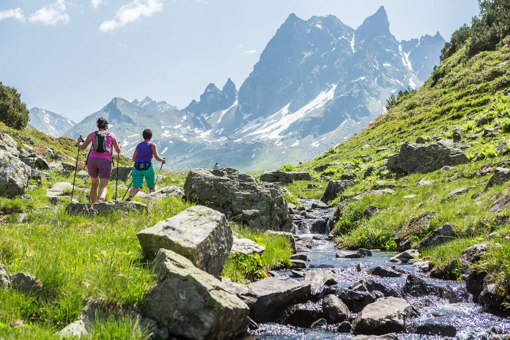
Approach
Public transport
Directions

The T33 Trail is a bit shorter, but does not fall short of the marathon in terms of landscape. Directly after the start you run into the rear Silbertal through the Natura 2000 area. Past the Gafluna Alp and Fresch Alp you also cross the most scenic border crossing between Vorarlberg and Tyrol. While the marathoners collect a few more altitude meters from Verwallsee, your route leads you directly towards the finish. Whether for runners or walkers, the T33 is a breathtaking nature experience for everyone.

Safety instructions

EMERGENCY CALL: 144

European emergency number: 112 (works with any mobile phone/network)

www.vorarlberg.travel/sicherheitstipps

Destination

St. Anton am Arlberg

Starting Point

Silbertal

Sicherheitstipps für Wandern in Vorarlberg

EN NOTRUF:

EN 140 - Alpine Notfälle österreichweit 

EN 144 - Alpine Notfälle Vorarlberg 

EN 112 - Euro-Notruf (funktioniert mit jedem Handy/Netz) 

Properties
Route type Trail running | Running
Difficulty Difficult
Start Feuerwehrhaus Silbertal
Elevation profile
Best months
Jan
Feb
Mär
Apr
Mai
Jun
Jul
Aug
Sep
Okt
Nov
Dez