Wiegenseeweg

Moderate
Alpenmosaik - Verwall
Einkehrmöglichkeit
Rundtour
Bergbahnauf-/-abstieg
Themenweg · Hiking · Alpine mosaic – Verwall · Alpine mosaic · Bergbahnauf-/-abstieg · Refreshment stops · Round trip · Partenen
04:30 h duration
12,8 km Length in km
1939 m Highest point
1032 m Lowest point
459 m gain Ascent
962 m gain Descent
Stamina
Skill
Difficulty
Adventure
Scenery

Tour description

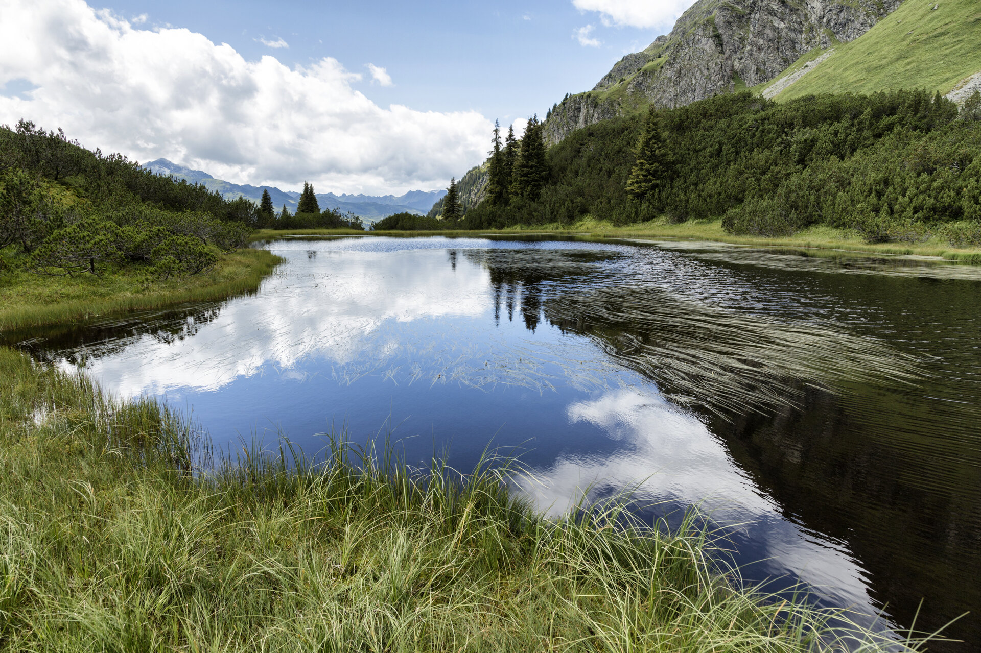
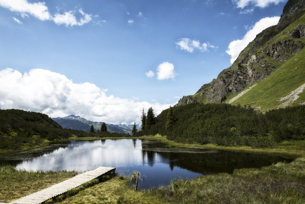
A varied hike through the protected high moor landscape surrounding Lake Wiegensee, featuring rare moorland formations and impressive views of the Silvretta peaks.

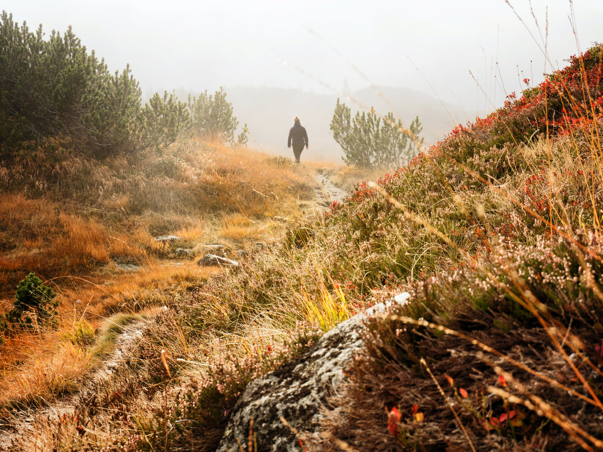
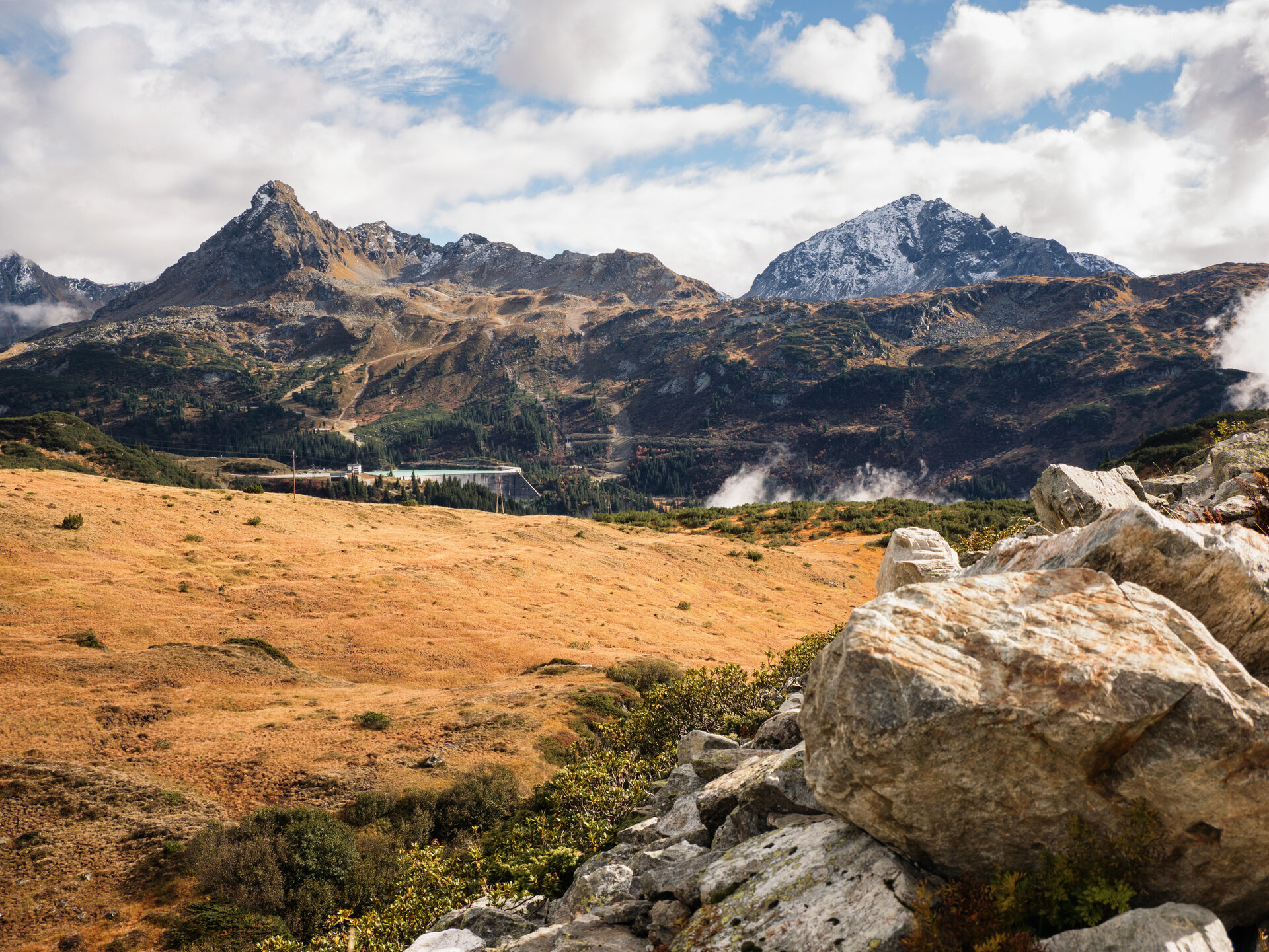
Lake Wiegensee is located in a protected raised bog landscape at the foot of the Versalspitze. High precipitation levels, the elevation above sea level, and water-retaining subsoil have given rise to a diverse array of moorland habitats here. Nestled among mountain pine moor forests rich in sphagnum moss lies one of Austria’s few blanket bogs—a type of moor that is extremely rare in Central Europe.

The heart of the area is Lake Wiegensee. It lies in a so-called “cradle” and is naturally dammed by delicate floating rushes. This vegetation cover grows from the shore out onto the water and can give way under pressure. This is precisely why this unique habitat is particularly worthy of protection.

What is the Montafon Alpine Mosaic?

The Montafon Alpine Mosaic showcases the scenic diversity of the Montafon. Four exploration areas—Verwall, Silvretta, Rätikon, and the valley—illustrate how geology, nature, and the cultural landscape are interconnected.

Along 34 themed trails, you can discover the unique features of these diverse landscapes. Starting points, themes, and stories along the trails will continually offer you new perspectives on the Montafon.

So: Choose an exploration area, lace up your hiking boots, and discover the diversity of the Montafon step by step.

You can find more information about the Montafon Alpine Mosaic HERE.

Starting Point - Directions - End Point

Starting point
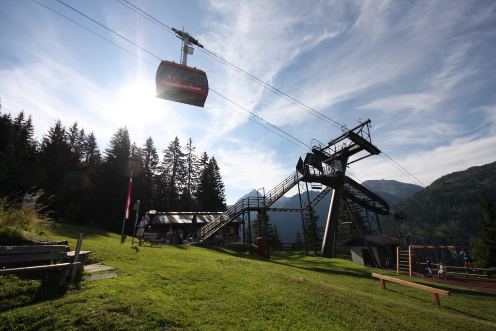
Partenen, upper station of the Tafamunt Cable Car / Alpstöbli Tafamunt

Directions
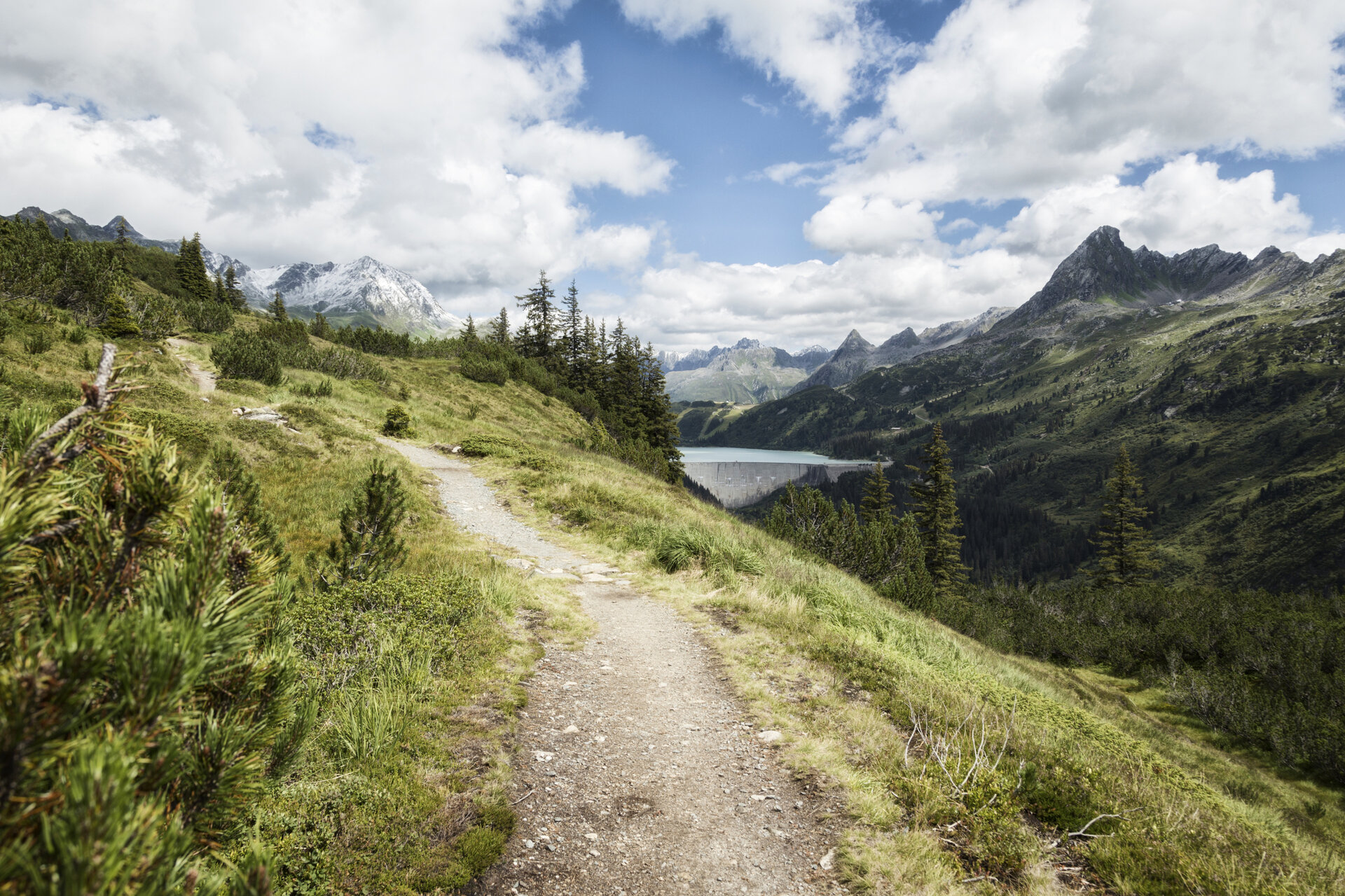
The hike begins at the Tafamuntbahn mountain station. From there, the trail first leads you uphill through the forest. Above the tree line, the Silvretta summit and the surrounding mountain landscape come into view. Viewing benches along the trail invite you to take a short break. With a bit of luck, you might spot chamois on the slopes below the Versalspitze.

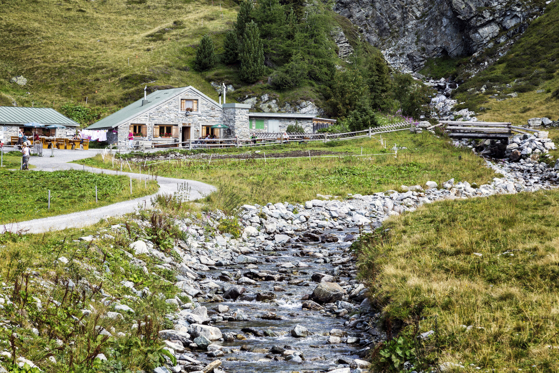
Soon you’ll reach Wiegensee, nestled in the high moor landscape. From there, the trail continues northward into the Verwall and, above the Verbella Valley, winds gently up and down to the Verbellaalpe, a mountain hut.

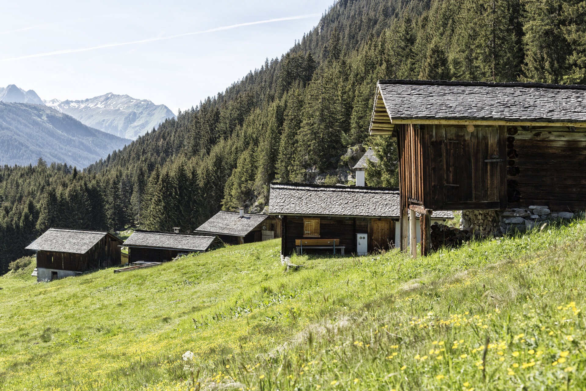
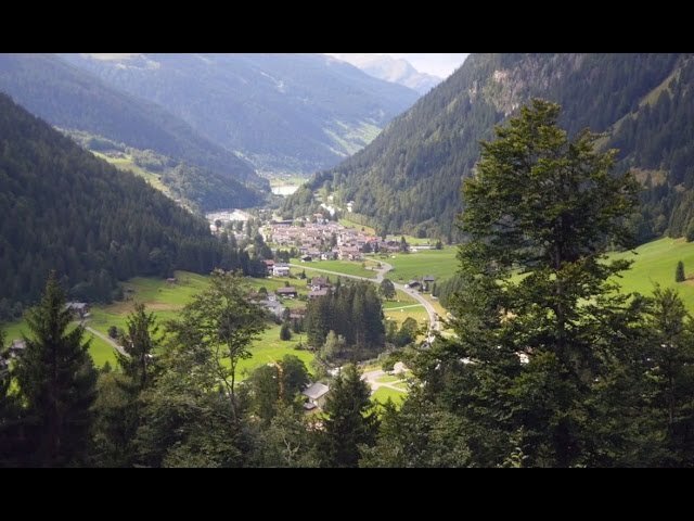
Shortly after the Verbellaalpe, the descent begins. You’ll hike down through the Ganifertal valley in switchbacks to Inner- or Außerganifer. The trail then takes you via Frons back to Partenen.

End Point
Partenen, town center

Getting to the starting point

Getting to the Starting Point
The starting point for the tour is the upper station of the Tafamuntbahn / Alpstöbli Tafamunt in Partenen. Please check the operating hours of the Tafamuntbahn.

By public transportation:
The Landbus Montafon and the Montafonerbahn offer a convenient and flexible way to get around the valley. The train and bus provide regular service between the towns, running every half hour or every hour depending on the route. You can find the right connection HERE. Bus stop for the start: Partenen Bergbahnen / Bus stop for the end: Partenen Center

By car:
Take the A14 to the Bludenz/Montafon exit. Then follow the Montafonerstraße L188 to Partenen, where free parking is available at the Tafamuntbahn.

Important Information

The moorland around Lake Wiegensee is a particularly sensitive habitat. Therefore, be sure to stay on the marked trails and do not walk on the quaking bogs or moorland areas.

For this hike, we recommend sturdy, ankle-high hiking boots with a good grip. Be sure to bring plenty of food and drinks. Hiking poles can be especially helpful on longer descents.

The Verbellaalpe is generally open only from late June through early September.

Tips

A stop at the Verbellaalpe is a great way to take a break along the way.

At Wiegensee, take some time to fully appreciate the unique moorland landscape and the view of the Silvretta peaks across the valley.

You can find more information about the Verwall European Protected Area and its unique habitats HERE.

Sicherheitstipps für Wandern in Vorarlberg

EN NOTRUF:

EN 140 - Alpine Notfälle österreichweit 

EN 144 - Alpine Notfälle Vorarlberg 

EN 112 - Euro-Notruf (funktioniert mit jedem Handy/Netz) 

Properties
Route type Themenweg, Hiking, Alpine mosaic – Verwall, Alpine mosaic, Bergbahnauf-/-abstieg, Refreshment stops, Round trip
Difficulty Moderate
Start Alpstöbli Tafamunt
Finish Ortzentrum Partenen
Elevation profile
Best months
Jan
Feb
Mar
Apr
May
Jun
Jul
Aug
Sep
Oct
Nov
Dec