Tour around the Itonskopf

Difficult
Einkehrmöglichkeit
Rundtour
(E-)Mountainbiken · Refreshment stops · Round trip
05:00 h duration
32,4 km Länge
1802 m Höchster Punkt
662 m Tiefster Punkt
1324 hm Aufstieg
1324 hm Abstieg
Kondition
Technik
Schwierigkeit
Erlebnis
Landschaft

Tourbeschreibung

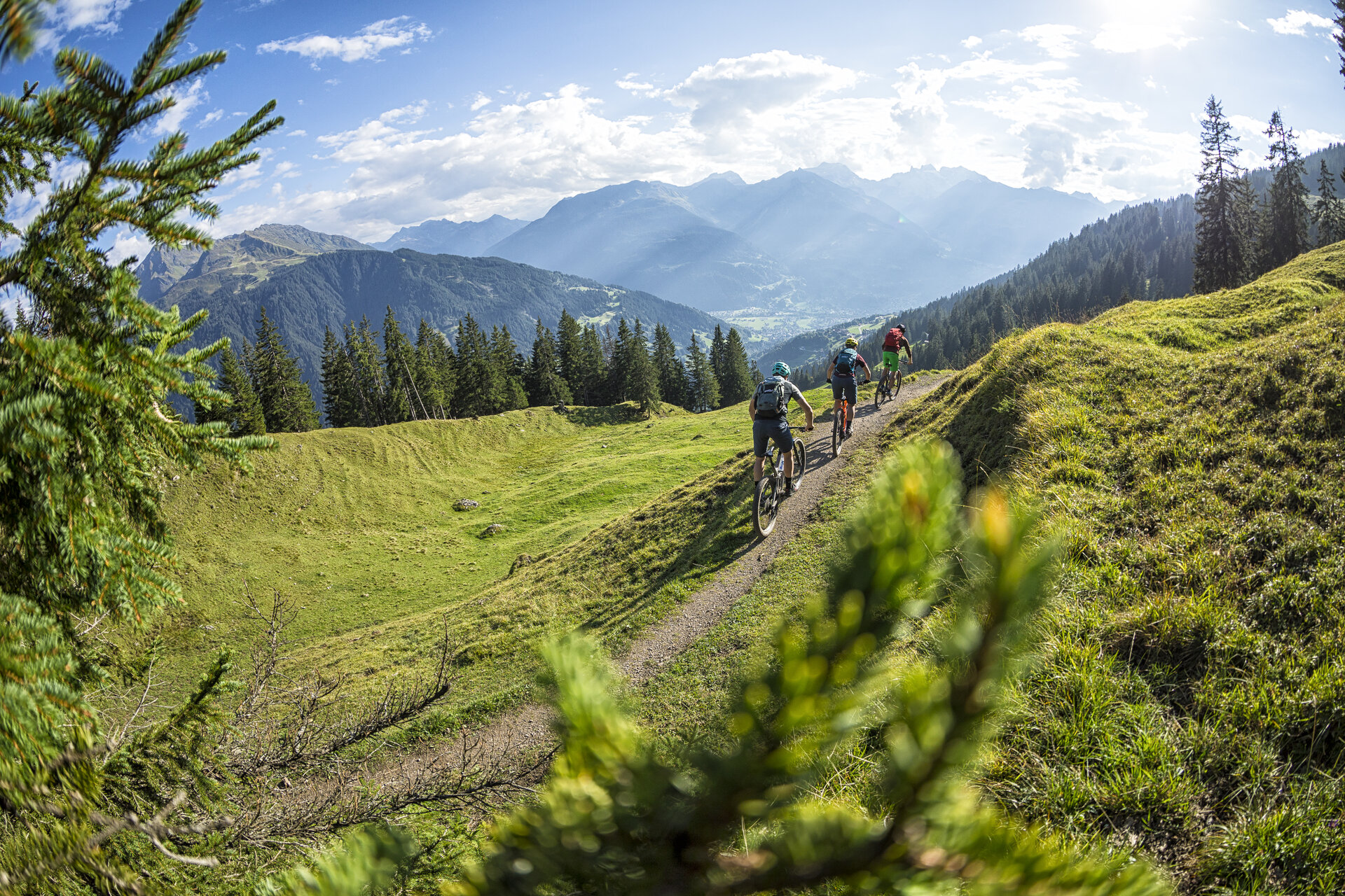
An e-mountainbike route that leaves nothing to be desired. With varied uphill and downhill sections, every biker will get their money’s worth. Even the culinary side is not neglected. In a large loop, the Itonskopf is circled over different types of terrain. These range from gravel roads in the uphill sections to a wonderful singletrail descent.

Approach

Coming from Bludenz, take the Bludenz/Montafon motorway exit and follow the L188 into Montafon. In Schruns, turn left away from the L188 towards Schruns town center. From here, follow the signs towards the train station.

Public transport

Just leave your car behind

And arrive directly with your bike.

From Schruns train station, you can reach the starting point Aktivpark Montafon in a few minutes or start directly towards Bartholomäberg from there.

Montafonerbahn runs hourly (partially every half hour) to Bludenz station. There are also direct connections from Lindau (D) and from Bregenz. Timetable mbs train

vmobil.at

Parking

At Aktivpark Montafon

Directions

From Aktivpark Montafon, you follow the Ill river downstream to Tschagguns train station and then go up the Litzdamm to Schruns. At the end of the Litzdamm, turn left and after about 100 m, turn right uphill towards Bartholomäberg. Follow this road until you arrive at the Baroque church of Bartholomäberg. Here you deserve a short break. A wonderful viewpoint with seating invites you to enjoy the mountain panorama during a refreshment. The route continues past the Bärger Lädili, uphill towards Rellseck. This section is very well signposted for cyclists. Follow the red signs for bikers towards Rellseck. The last third of the route leads you from asphalted road onto a gravel surface uphill to Rellseck. At Rellseck, you deserve a break and refreshment. Now follow the gravel path uphill to Alp Legi, which marks the highest point of this route. From here the path leads down to Alpe Latons, which is open from early June to early September and is perfect for a small refreshment. From Alpe Latons, after a short flat stretch, it goes steadily uphill towards the singletrail entrance. Once you reach the singletrail entrance, you head across to the Falla on a transverse section, which sometimes forces you to push your bike. After about half an hour, you reach the Falla and are rewarded with a breathtaking view into the Klostertal. From here it goes downhill. A wonderful singletrail awaits you. Once the singletrail meets a gravel transverse path, the trail ends and you follow the normal path. This leads you back onto the path that took you to Rellseck. Now follow the known road downhill towards Bartholomäberg and then back to Aktivpark Montafon Schruns-Tschagguns.

Equipment

Weather-appropriate clothing (bike-suitable clothing is recommended)

Bike shoes with good tread to manage pushing sections on the trail on foot

Enough to drink, snacks as needed

Tips

You should definitely try the Sura Kees from Alpe Latons!

Free Aktivkarte for (e-)mountainbiking is available at all Montafon tourist offices.

Destination

Aktivpark Montafon Schruns - Tschagguns

Starting Point

Aktivpark Montafon Schruns - Tschagguns

Sicherheitstipps für Mountainbike in Vorarlberg

NOTRUF:

140 Alpine Notfälle österreichweit 

144 Alpine Notfälle Vorarlberg 

112 Euro-Notruf (funktioniert mit jedem Handy/Netz) 

Eigenschaften
Routentyp (E-)Mountainbiken, Refreshment stops, Round trip
Schwierigkeit Difficult
Höhenprofil
Beste Jahreszeit
Jan
Feb
Mär
Apr
Mai
Jun
Jul
Aug
Sep
Okt
Nov
Dez