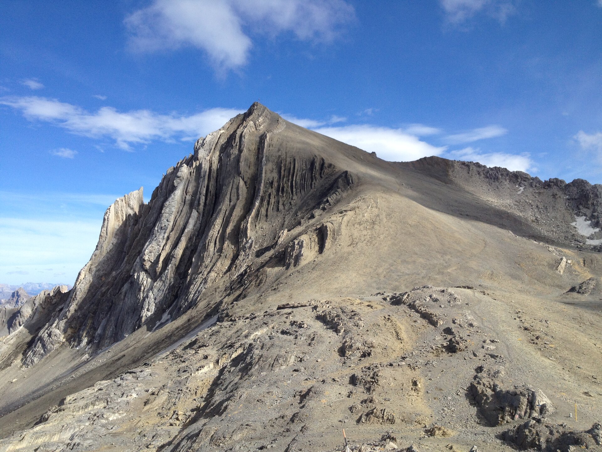
Schesaplana summit path

Moderate
Alpenmosaik - Rätikon
Einkehrmöglichkeit
Themenweg · Hiking · Alpine mosaic – Rätikon · Alpine mosaic · Refreshment stops
05:30 h duration
10,3 km Length in km
2965 m Highest point
1973 m Lowest point
1001 m gain Ascent
1001 m gain Descent
Stamina
Difficulty
Adventure
Scenery

Tour description

Summit route to the highest mountain of the Rätikon – the Schesaplana, which rewards you with a breathtaking panorama.

Approach

Drive on the A14 to the Brandnertal motorway exit and continue on the L82 to Brand until the valley basin (end of the valley) to the valley station of the Lünerseebahn.

Public transport

Just leave your car standing

The Montafonerbahn regional buses run throughout Montafon. The main lines run every half hour from Schruns station.

Bus stop at the start/finish of the route: Brand Lünerseebahn / S4 (Montafonerbahn), line 81

Timetable: www.vmobil.at

Arrival by train to Montafon

From Bludenz station, the Montafonerbahn runs hourly (partly half-hourly). There are also direct connections from Lindau (D) or from Bregenz.

Timetable: www.oebb.at

Parking

Paid parking spaces are located at the valley station of the Lünerseebahn in Brand.

Directions

The first altitude meters are covered with the Lünerseebahn. Once you reach the Lünersee, follow the right lakeside on the wide shore path until you reach the signpost indicating the Totalphütte. From there it goes upwards. After about a good hour, you reach the first stage goal, the well-frequented Totalphütte.

The view from the Totalphütte is already very impressive. Those who want can take a break here. But only half is done. From the hut it continues upwards on rocky terrain, past the Totalpsee and Customs House to the Schesaplanasattel. You have almost made it. From the Schesaplanasattel, it's only 55 altitude meters to the summit of the Schesaplana. Shortly after, you reach the summit cross. You have more than earned a break. The view rewards you for your efforts uphill. The return is on the same path.

Alpine mountain path – may include safety cables and aids for footholds

Equipment

Good, ankle-high mountain boots with a good grip, hiking backpack including food and drinks as well as sun and rain protection, hiking poles recommended

Tips

With the help of the Lünerseebahn, the ascent can be shortened by about an hour. Those who want to cover the 400 altitude meters to the Lünersee on foot must overcome the Böser Tritt, a partially secured trail.

Destination

Brand, Lünerseebahn mountain station

Starting Point

Brand, Lünerseebahn mountain station

Sicherheitstipps für Wandern in Vorarlberg

EN NOTRUF:

EN 140 - Alpine Notfälle österreichweit 

EN 144 - Alpine Notfälle Vorarlberg 

EN 112 - Euro-Notruf (funktioniert mit jedem Handy/Netz) 

Sicherheitshinweis Böser Tritt
Properties
Route type Themenweg, Hiking, Alpine mosaic – Rätikon, Alpine mosaic, Refreshment stops
Difficulty Moderate
Elevation profile
Best months
Jan
Feb
Mar
Apr
May
Jun
Jul
Aug
Sep
Oct
Nov
Dec