From Hochjoch via Alpguesalpe into Silbertal

Moderate
Einkehrmöglichkeit
Rundtour
Hiking · Refreshment stops · Round trip
03:30 h duration
8,70 km Länge
2396 m Höchster Punkt
1340 m Tiefster Punkt
269 hm Aufstieg
1191 hm Abstieg
Kondition
Schwierigkeit
Erlebnis
Landschaft

Tourbeschreibung

Mountain station Sennigrat Bahn - Wormser Hut - Kreuzjoch - Grasjoch (Furkla) - Alpguesalpe - Hiking bus stop near the Lower Gaflunaalpe
Approach

Take the A14 to the Bludenz/Montafon exit and continue on Montafonerstraße L188 to Schruns to the Hochjochbahn.

Public transport

Just leave your car standing

The Montafonerbahn regional buses operate throughout Montafon. The main lines run every half hour from Schruns station.

Bus stop at the start/finish of the route: Schruns Hochjoch Bahn / Line 650, Line 670, Line 602, Line 603

Timetable: www.vmobil.at

Arrival by train to Montafon

From Bludenz station, the Montafonerbahn runs hourly (sometimes half-hourly). There are also direct connections from Lindau (D) and Bregenz.

Timetable: www.oebb.at

Parking

A parking lot is located at the valley station of the Hochjoch Bahn in Schruns (paid).

Directions

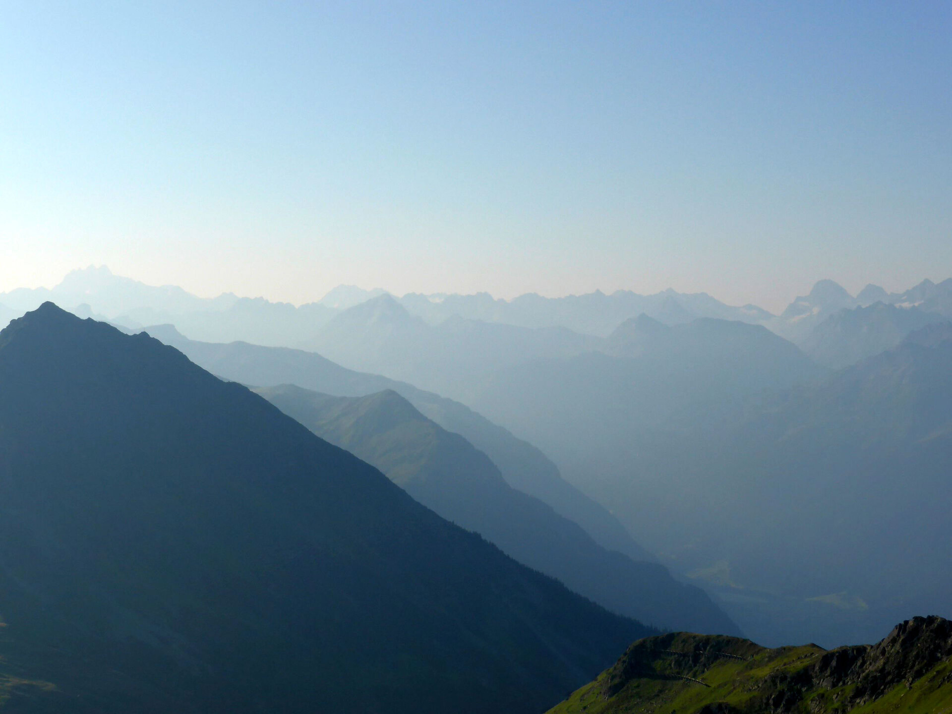
The hike starts at the mountain station of the Sennigrat Bahn on the Hochjoch and leads over an easy path to the Wormser Hut. From the Wormser Hut, it goes steeply up to the summit of the Kreuzjoch. A short climbing section must be tackled, but it is quite manageable. Otherwise, this can also be bypassed (alternative: road from the Wormser Hut). Once you reach the summit of the Kreuzjoch, a fantastic view awaits you. You descend via the narrow hiking path and reach the Grasjoch area (Grasjoch Hut, Furkla) after about 45 minutes. Continue a short way slightly uphill. At the next signpost, orient yourself towards Alpguesalpe, Ronaalpe, and Silbertal. After about an hour, you reach the Alpguesalpe. Note that the Alpguesalpe is not managed. Follow the path further downhill. After another 45 minutes, you reach the wide road. Nearby is the Ronaalpe. Now turn right and follow the wide road towards the back of Silbertal valley. At the end of the forest, or shortly before the Lower Gaflunaalpe, you reach the stop of the hiking bus. The hiking bus takes you back to the center of Silbertal.

Equipment

Sturdy and high shoes with a good tread sole. A head covering, sun protection, and trekking poles are recommended, as well as carrying sufficient food and drinks.

Tips

Silbertal Hiking Bus:

The Silbertal hiking bus runs from mid-June to mid-September every Tuesday & Friday from the Silbertal fire station to the Lower Gaflunaalpe. Advance registration by 5:00 PM the day before at the Silbertal tourism office, Tel. +43 50 6686 230, is absolutely necessary. The hiking bus is not included in the Montafon-Brandnertal card multi-day summer or season ticket.

Destination

Hiking bus stop near the Lower Gaflunaalpe

Starting Point

Mountain station Sennigrat Bahn on the Hochjoch

Sicherheitstipps für Wandern in Vorarlberg

EN NOTRUF:

EN 140 - Alpine Notfälle österreichweit 

EN 144 - Alpine Notfälle Vorarlberg 

EN 112 - Euro-Notruf (funktioniert mit jedem Handy/Netz) 

Eigenschaften
Routentyp Hiking, Refreshment stops, Round trip
Schwierigkeit Moderate
Höhenprofil
Beste Jahreszeit
Jan
Feb
Mär
Apr
Mai
Jun
Jul
Aug
Sep
Okt
Nov
Dez