Montafon hut circuit | Douglass Hut to Heinrich Hueter Hut

Tour description
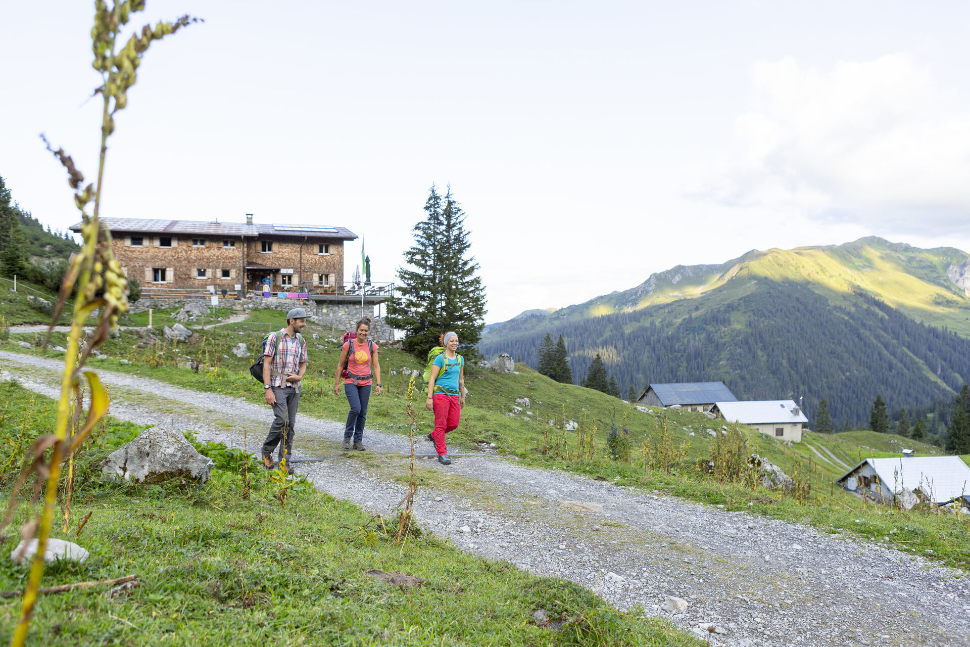
A varied stage of the Montafon Hut Hike from the Douglass Hut to the Heinrich Hueter Hut, featuring scenic descents and impressive views of the Zimba and the Rätikon.
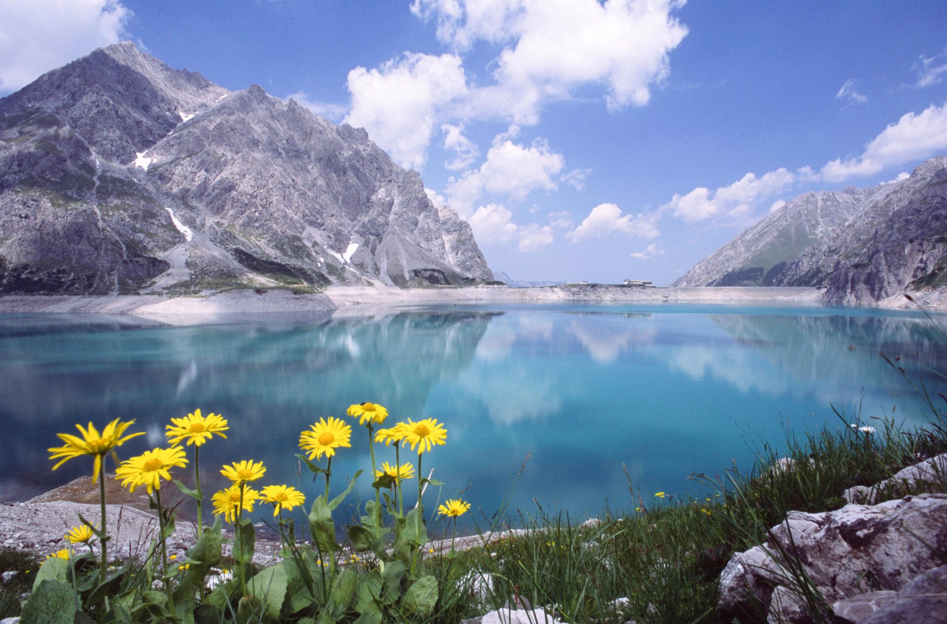
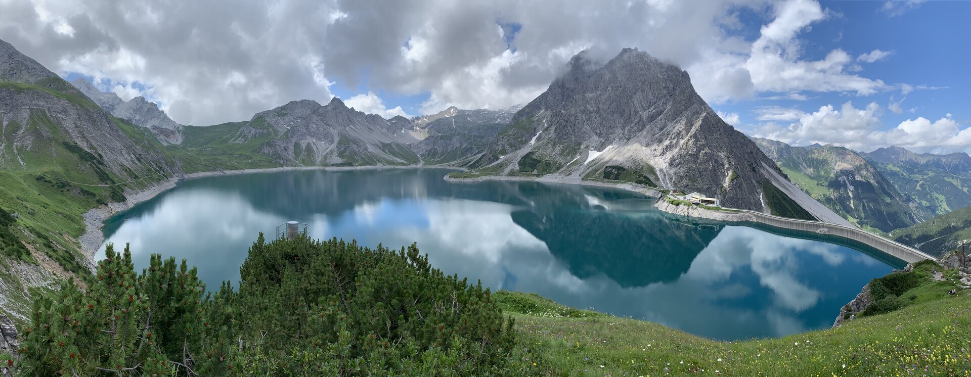
This stage winds through the picturesque mountain landscape around Lake Lünersee and continues toward the Heinrich Hueter Hut. You’ll encounter more descents than ascents along the way, with impressive views of the Montafon and the surrounding peaks at every turn.
Particularly striking is the view of the Zimba, which is also known as the “Montafon Matterhorn” due to its distinctive shape. The Saulakopf and Saulajoch also dominate the panorama. With a little luck, you might spot some chamois along the way.
What is the Montafon Alpine Mosaic?
The Alpenmosaik Montafon brings the region’s scenic diversity to life. The four exploration areas—Verwall, Silvretta, Rätikon, and the valley—offer different perspectives on nature, the landscape, and culture.
You can find more information about the Montafon Alpine Mosaic HERE.
Starting Point - Directions - End Point
Starting Point
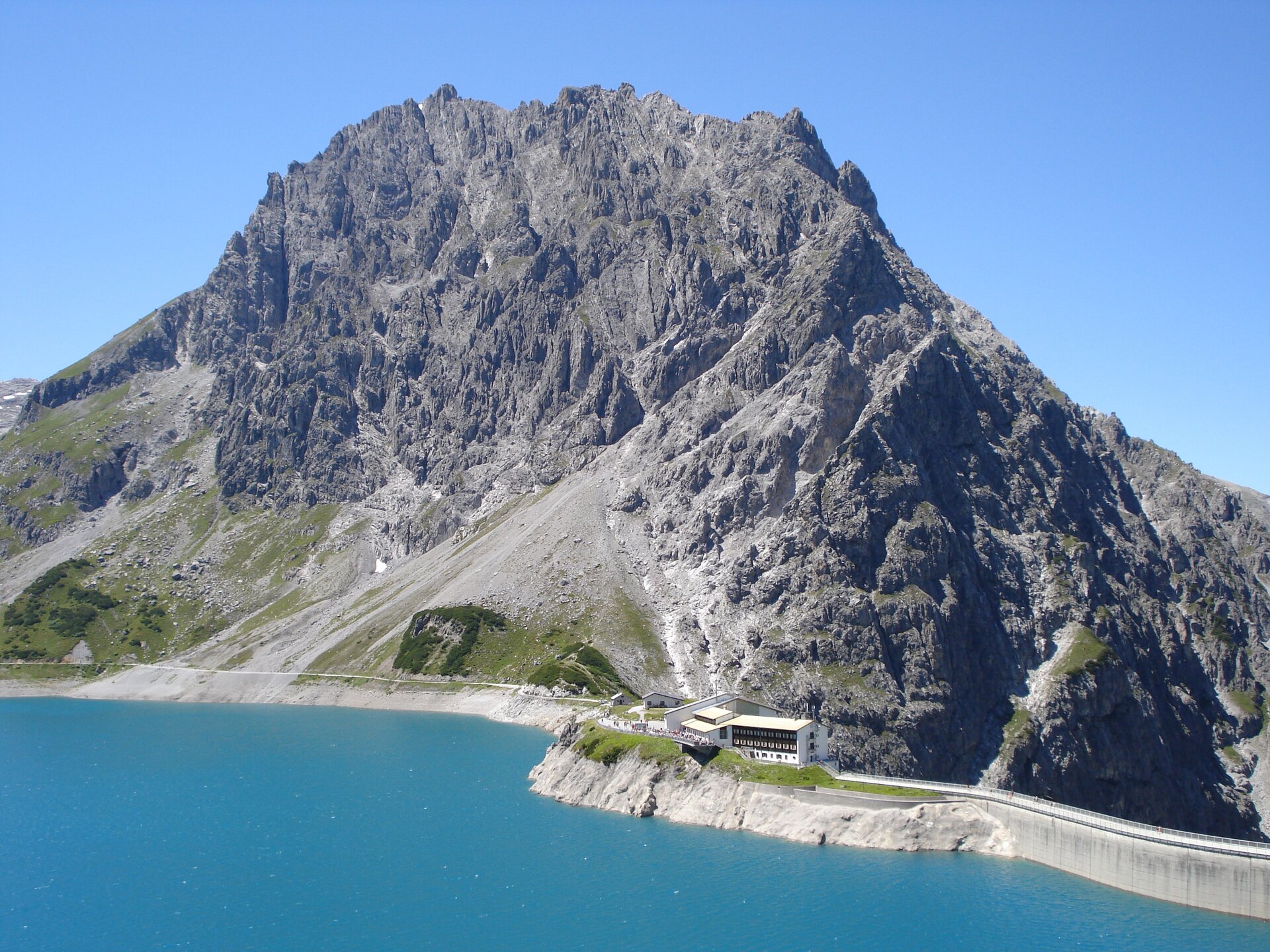
Douglass Hut
Directions
From the Douglass Hut, you first follow the lakeside trail along Lake Lünersee. After a few meters, the trail forks. Follow the ascending trail marked toward the Heinrich Hueter Hut; this will take you to the Lünerkrinne at 2,158 meters, the highest point of the hike.
From the Lünerkrinne, the trail continues downhill. Pass by the next two right-hand turnoffs and continue following the hiking trail toward the Heinrich Hueter Hut. Ignore the following left-hand turnoff as well and stay on the marked hiking trail until you reach the Heinrich Hueter Hut.
End Point
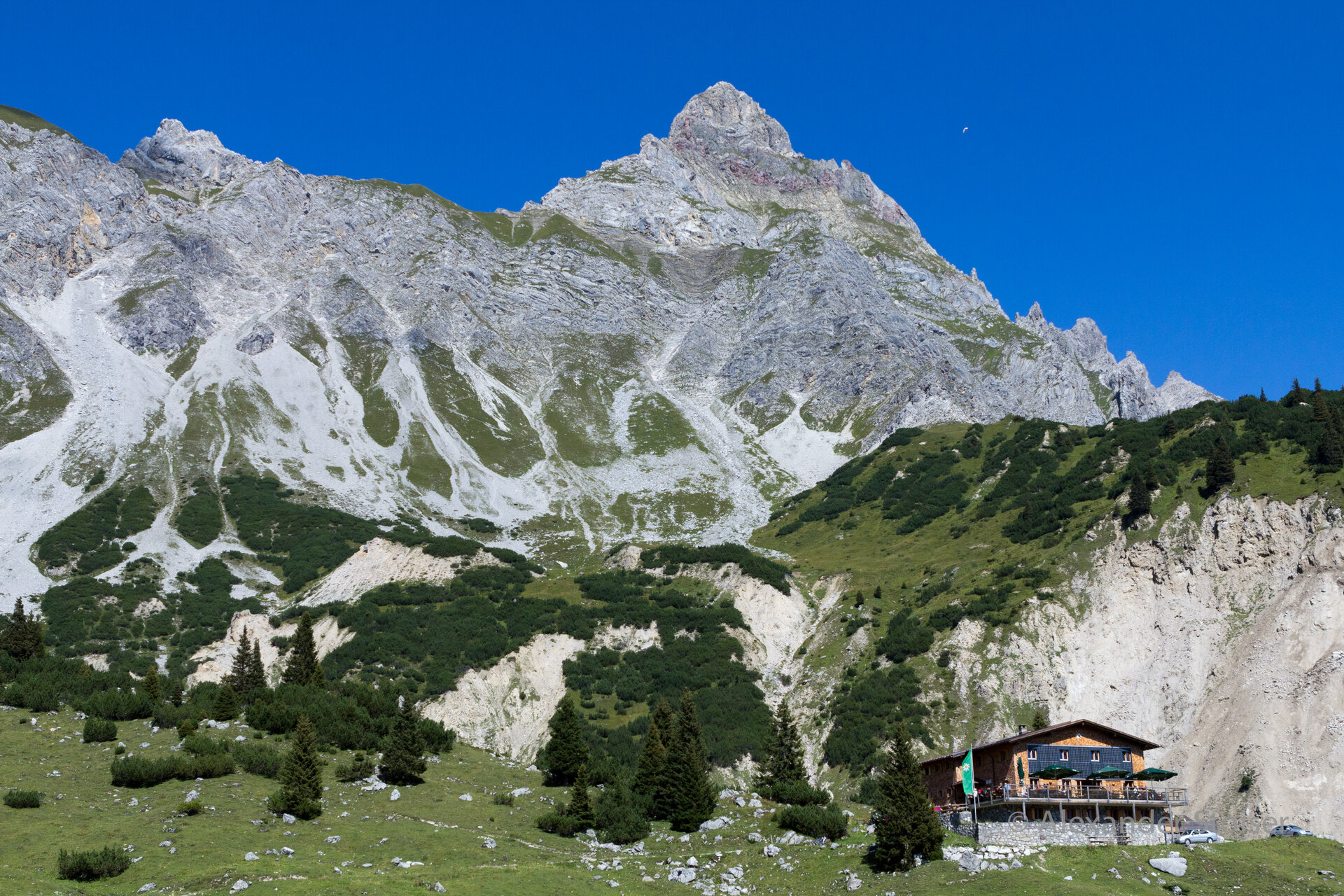
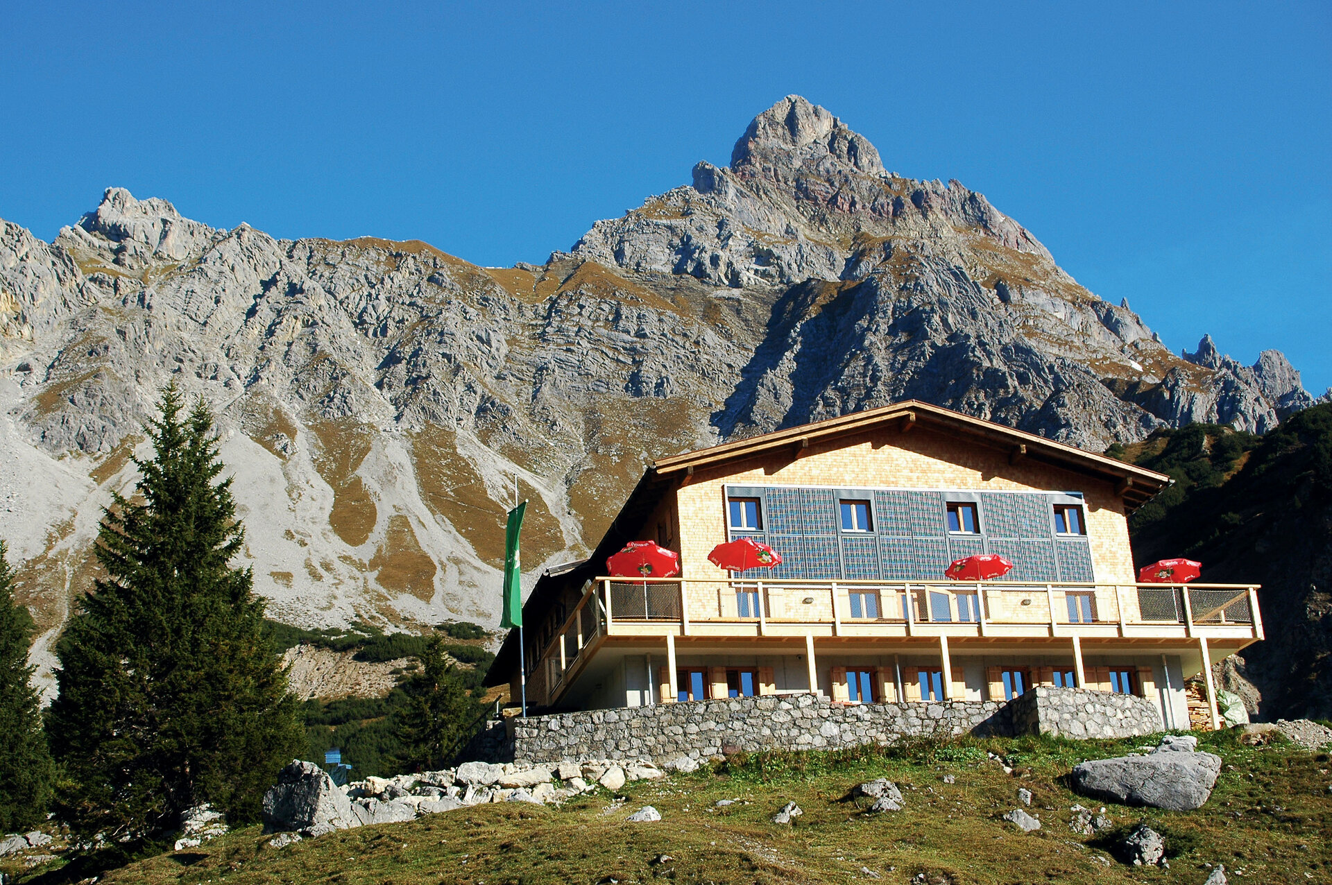
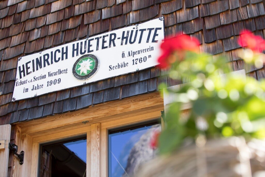
Heinrich Hueter Hut
Getting to the starting point
Getting to the Starting Point
The starting point for the tour is the Douglass Hut at Lünersee.
By public transportation:
The Landbus Montafon and the Montafonerbahn offer a convenient and flexible way to get around the valley. Trains and buses run regularly between the towns, every half hour or every hour depending on the route. You can find the right connection HERE. Bus stop for the start of this tour: Brand Lünerseebahn. From there, take the Lünerseebahn to the Douglass Hut, which is the starting point of the tour.
By car:
Take the A14 to the Brandnertal exit, then follow the L82 toward Brand. Passing through Brand, you’ll reach the Lünerseebahn valley station. Parking is available there. Take the Lünerseebahn to the Douglass Hut on Lake Lünersee.
Important Notes
For the tour, we recommend sturdy shoes with good traction, weather-appropriate clothing, and plenty of drinking water. Be sure to pack an activity map and a snack in your backpack as well.
Tips
The Lünerkrinne, at 2,158 meters, is the highest point of the hike and is a great spot to take a break and enjoy the view of the surrounding mountains.
Sicherheitstipps für Wandern in Vorarlberg
EN NOTRUF:
EN 140 - Alpine Notfälle österreichweit
EN 144 - Alpine Notfälle Vorarlberg
EN 112 - Euro-Notruf (funktioniert mit jedem Handy/Netz)