Montafon hut circuit | Gargellen to Tilisunahütte

Tour description
Gargellen - Lower Röbialpe - Upper Röbialpe - Sarottlajoch - Plasseggen Pass - Gruben Pass - Tilisunahütte
Approach
Public transport
Parking
Parking spaces with the possibility to leave your car for several days (up to one week) are available in Schruns in the underground car park at the Löwen Hotel. For parking longer than one week, please contact the Löwen Hotel directly: T +43 5556 7141, reservierung@loewen-hotel.com)
Directions
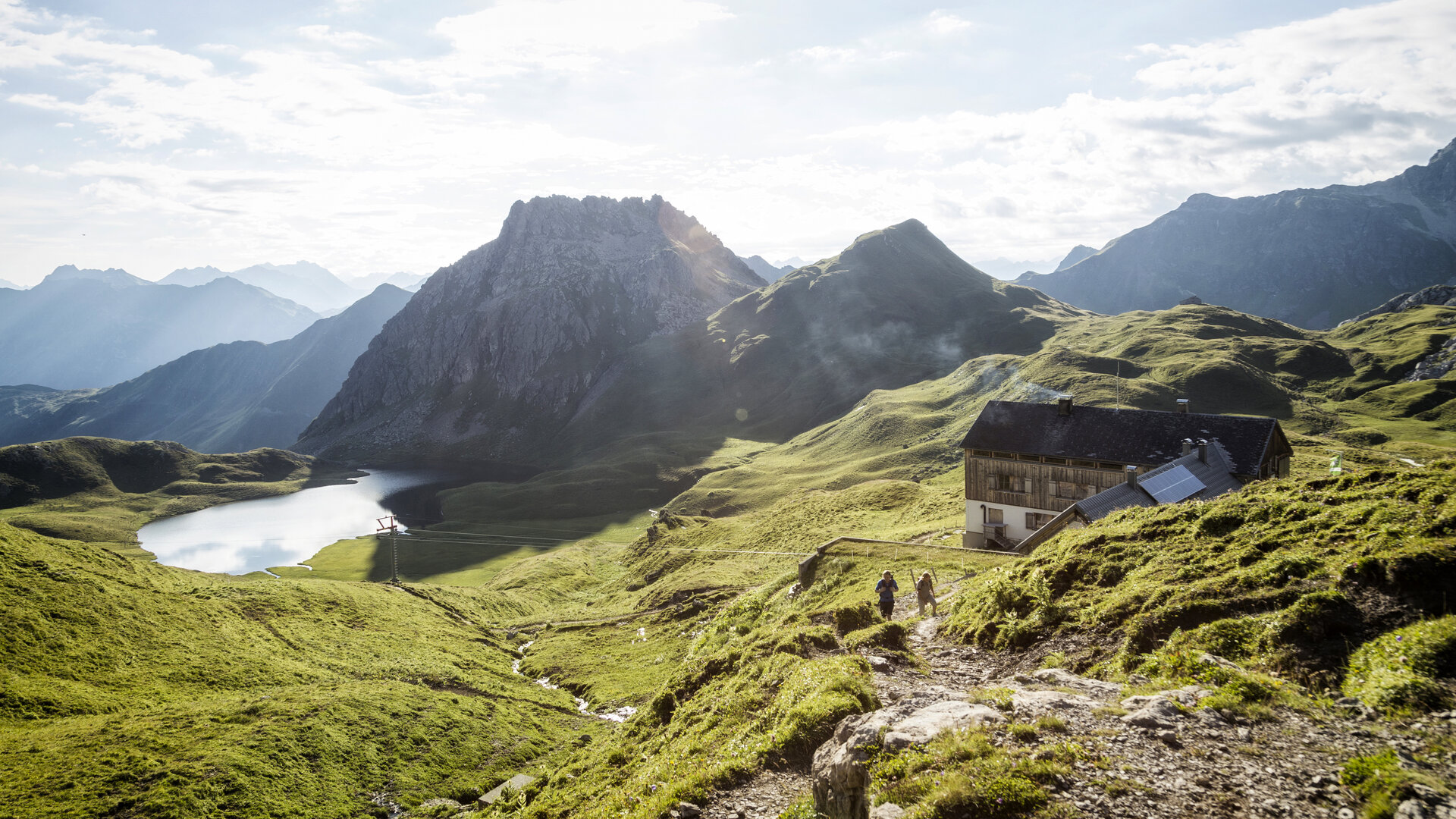
You start in the village of Gargellen and walk the first section along the Suggadin stream. Then you continue on a well-passable gravel road to the Lower Röbialpe. Now you hike a slightly steeper hiking path up to the Upper Röbialpe. Once there, you cross the Sarottlajoch, where a short rope-secured passage must be crossed. Then continue over the Plasseggen Pass and the Gruben Pass. At the foot of the Westplatte and Scheinfluh, you continue hiking the Rätikon high trail to the Tilisunahütte.
Alpine mountain path – may include safety ropes and foot aids!
Tips
Due to the high demand at the huts, we recommend reserving sleeping places directly at the huts early enough.
Destination
Tilisunahütte
Starting Point
Gargellen, center
Sicherheitstipps für Wandern in Vorarlberg
EN NOTRUF:
EN 140 - Alpine Notfälle österreichweit
EN 144 - Alpine Notfälle Vorarlberg
EN 112 - Euro-Notruf (funktioniert mit jedem Handy/Netz)


